Atm nearby الأهلي
Coronavirus disease (COVID-19) Situation
confirmed cases
841469
deaths
9646
Saudi Arabia
Atm nearby الأهلي
الأهلي
Jeddah Arabia Saudyjska
contacts phone
:
+966
Latitude:
21.4582401
, Longitude:
39.2029966
read more
nearest Atm
433 m
الأهلي
جدة
Atm
read more
475 m
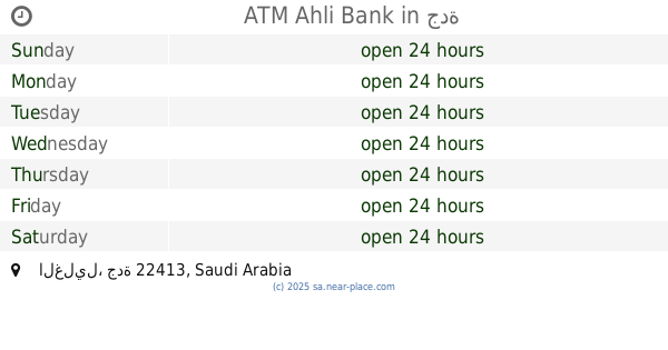
ATM Ahli Bank
جدة
Atm
read more
562 m
الأهلي
شارع التلفزيون، حي المحجر، جدة
Atm
read more
562 m
NCB ATM
3887 الفلاح، حي بترومين جدة 22413 8902 Al Falah, Jeddah
Atm
read more
568 m
صراف ساب
8559 Zaynal, حي غليل, Jeddah
Atm
read more
568 m
SABB
Zainal Street TTW Lobby, Jeddah
Atm
read more
612 m
Ahli Bank
3887 Al Falah, حي بترومين, Jeddah
Atm
read more
633 m
AlRajhi ATM 🏧
22413, Jeddah
Atm
read more
644 m
ATM Bank Al Jazira
5133 الفلاح، حي غليل جدة 22413 8906 Al Falah, Jeddah
Atm
read more
736 m
SABB
Mini, T.V.Street, Jeddah
Atm
read more
745 m
NCB ATM
شارع الإذاعة، حي القريات، جدة
Atm
read more
747 m
صراف العربي
4690 Muhammad Harasani, حي غليل, Jeddah
Atm
read more
788 m
ساب
شارع الاذاعة - حي النزلة اليمانية، جدة
Atm
read more
800 m
SABB
Etha'ah Street, Jeddah
Atm
read more
803 m
الأهلي
حي غليل، جدة
Atm
read more
805 m
صراف الأهلي NCB ATM
8168 Sayim Ad Dahr, Jeddah
Atm
read more
807 m
صرافة الأهلي
Jeddah
Atm
read more
824 m
الأهلي
شارع التلفزيون - حي غليل، جدة
Atm
read more
866 m
NCB ATM
حسن حسنين Asan Hasanain, Jeddah
Atm
read more
976 m
بنك الرياض
ساوث مول، حي غليل، جدة
Atm
read more
979 m
بنك الرياض
ساوت مول - حي غليل، جدة
Atm
read more
1.012 km
Riyad ATM
8334 Al Jaziri, حي غليل،, Jeddah
Atm
read more
1.048 km
ATM
8126 زينل، حي غليل جدة 22413 5071 Zaynal, Jeddah
Atm
read more
1.05 km
Alawwal Bank ATM
8, 21°27'00.0"N 39°11'52., Riyadh
Atm
read more
1.059 km
Riyad Bank🏧
8126 زينل، حي غليل جدة 22413 5071 Zaynal, Jeddah
Atm
read more
📑
all categories
Accounting
Administrative area level 1
Airport
Amusement park
Aquarium
Art gallery
Atm
Bakery
Bank
Bar
Beauty salon
Bicycle store
Book store
Bowling alley
Bus station
Cafe
Campground
Car dealer
Car rental
Car repair
Car wash
Casino
Cemetery
Church
City hall
Clothing store
Colloquial area
Convenience store
Country
Courthouse
Dentist
Department store
Doctor
Electrician
Electronics store
Embassy
Finance
Fire station
Florist
Food
Funeral home
Furniture store
Gas station
General contractor
Grocery or supermarket
Gym
Hair care
Hardware store
Health
Hindu Temple
Home goods store
Hospital
Insurance agency
Intersection
Jewelry store
Laundry
Lawyer
Library
Light rail station
Liquor store
Local government office
Locality
Locksmith
Lodging
Meal delivery
Meal takeaway
Mosque
Movie rental
Movie theater
Moving company
Museum
Natural feature
Neighborhood
Night club
Painter
Park
Parking
Pet store
Pharmacy
Physiotherapist
Place of worship
Plumber
Point of interest
Police
Political
Post office
Premise
Real estate agency
Restaurant
Roofing contractor
Route
Rv park, camping
School
Shoe store
Shopping mall
Spa
Stadium
Storage
Store
Sublocality
Subpremise
Subway station
Supermarket
Taxi stand
Train station
Transit station
Travel agency
University
Veterinary care
Zoo
sublocality level 1
↑