Atm nearby صراف الراجحي
Coronavirus disease (COVID-19) Situation
confirmed cases
841469
deaths
9646
Saudi Arabia
Atm nearby صراف الراجحي
صراف الراجحي
Atod, Al Araq 62431, Arabia Saudita
contacts phone
:
+966 9200 03344
website:
alrajhibank.com.sa
Latitude:
18.2988635
, Longitude:
42.7102893
larger map & directions
read more
nearest Atm
230 m
Riyad Bank
طريق الإمام محمد بن عبد الوهاب، حي الضيافة، خميس مشيط
Atm
read more
230 m
بنك الرياض
طريق الإمام محمد بن عبد الوهاب، حي الضيافة، خميس مشيط
Atm
read more
623 m
صراف مصرف الراجحي
حي الضيافة، خميس مشيط
Atm
read more
647 m
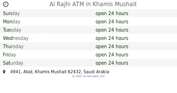
Al Rajhi ATM
4941, Khamis Mushait
Atm
read more
790 m
Alahli ATM
طريق الملك فيصل, Khamis Mushait
Atm
read more
844 m
Alahli ATM
King Faysal Road, Khamis Mushait
Atm
read more
860 m
صراف بنك البلاد
Khamis Mushait
Atm
read more
874 m
Al Rajhi Bank ATM
Imam Muhammad Ibn Saud, Khamis Mushait
Atm
read more
966 m
Tahweel Al Rajhi
Al Thalatheen, Al-Khaldyah Khamis Mushait, Khamis Mushait
Atm
read more
981 m
البنك السعودي للإستثمار
Khamis Mushait
Atm
read more
990 m
بنك البلاد
حي الضيافة، خميس مشيط
Atm
read more
1.049 km
بنك البلاد
المدينة التقنية، خميس مشيط
Atm
read more
1.093 km
مصرف الراجحي
مدينة التقنية، خميس مشيط
Atm
read more
1.095 km
Tahweel Al Rajhi
King Fahad, Al-Gharaue, Khamis Mushait
Atm
read more
1.138 km
Albilad Bank
صلاح الدين، عتود، خميس مشيط
Atm
read more
1.163 km
ATM Aljazira
Khamis Mushait
Atm
read more
1.203 km
صراف مصرف الراجحي
الصيانة، خميس مشيط
Atm
read more
1.292 km
Arab Exchange
4868 King Abdullah Road, Khamis Mushait
Atm
read more
1.329 km
الأهلي
حي شباعة، خميس مشيط
Atm
read more
1.332 km
NCB Bank
10, Khamis Mushait
Atm
read more
1.472 km
صراف الراجحي
7151 King Faysal Road, Khamis Mushait
Atm
read more
1.472 km
صراف مصرف الراجحي
7151 King Faysal Road, Khamis Mushait
Atm
read more
1.487 km
صراف الراجحي
3202 Buraidah, Khamis Mushait
Atm
read more
1.551 km
مصرف الراجحي
حي طيب الإسم، خميس مشيط
Atm
read more
1.553 km
Al Rajhi ATM
Al Madinah Al Munawarah, Khamis Mushait
Atm
read more
📑
all categories
Accounting
Administrative area level 1
Airport
Amusement park
Aquarium
Art gallery
Atm
Bakery
Bank
Bar
Beauty salon
Bicycle store
Book store
Bowling alley
Bus station
Cafe
Campground
Car dealer
Car rental
Car repair
Car wash
Casino
Cemetery
Church
City hall
Clothing store
Colloquial area
Convenience store
Country
Courthouse
Dentist
Department store
Doctor
Electrician
Electronics store
Embassy
Finance
Fire station
Florist
Food
Funeral home
Furniture store
Gas station
General contractor
Grocery or supermarket
Gym
Hair care
Hardware store
Health
Hindu Temple
Home goods store
Hospital
Insurance agency
Intersection
Jewelry store
Laundry
Lawyer
Library
Light rail station
Liquor store
Local government office
Locality
Locksmith
Lodging
Meal delivery
Meal takeaway
Mosque
Movie rental
Movie theater
Moving company
Museum
Natural feature
Neighborhood
Night club
Painter
Park
Parking
Pet store
Pharmacy
Physiotherapist
Place of worship
Plumber
Point of interest
Police
Political
Post office
Premise
Real estate agency
Restaurant
Roofing contractor
Route
Rv park, camping
School
Shoe store
Shopping mall
Spa
Stadium
Storage
Store
Sublocality
Subpremise
Subway station
Supermarket
Taxi stand
Train station
Transit station
Travel agency
University
Veterinary care
Zoo
sublocality level 1
↑