Cafe nearby كافيه أنغام الكيف
Coronavirus disease (COVID-19) Situation
confirmed cases
841469
deaths
9646
Saudi Arabia
Cafe nearby كافيه أنغام الكيف
كافيه أنغام الكيف
King Fahd Road, 84741, Abu Arish, SA Saudi Arabia
contacts phone
:
+966 53 294 2340
Latitude:
16.9905632
, Longitude:
42.8165437
larger map & directions
read more
nearest Cafe
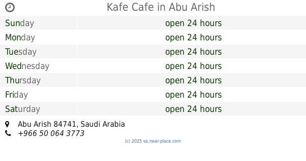
20 m
Kafe Cafe
Abu Arish
Cafe
read more
23 m
نغم الكيف كافيه
Abu Arish
Cafe
read more
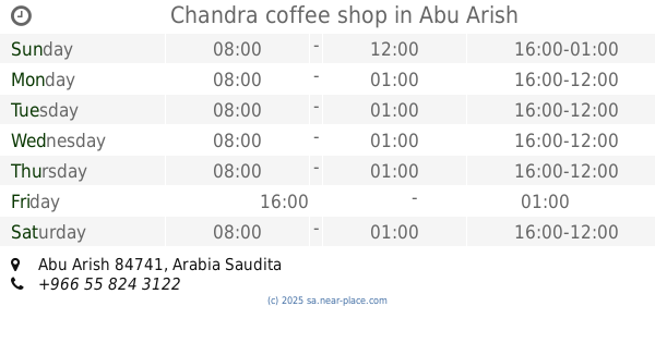
258 m
Chandra coffee shop
Abu Arish
Cafe
read more
269 m
عين المزاج
King Abdullah Road, Abu Arish
Cafe
read more
292 m
ليلى القهوة
Abu Arish
Cafe
read more
407 m
قهوة الدلة
King Fahd Road, Abu Arish
Cafe
read more
723 m
Coffee Mocha
Abu Arish
Cafe
read more
922 m
الصقر للجراك
طريق الملك فهد،، أبو عريش
Cafe
read more
1.175 km
ركن فنون
156, Al Aoqdah
Cafe
read more
1.252 km
كوفي ريحان
Al Aoqdah
Cafe
read more
1.271 km
ديوانية الكيف
أبو عريش
Cafe
read more
1.392 km
Coffee Nights
Abu Arish
Cafe
read more
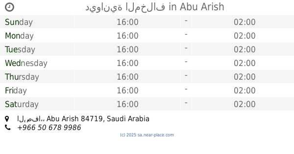
1.425 km
ديوانية المخلاف
الصفا،, Abu Arish
Cafe
read more
1.443 km
Namir Cafe
King Abdullah Road, Abu Arish
Cafe
read more
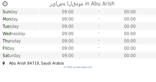
1.471 km
رياضة القهوة
Abu Arish
Cafe
read more
1.472 km
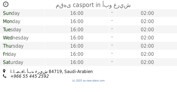
مقهى casport
أبو عريش
Cafe
read more
2.177 km
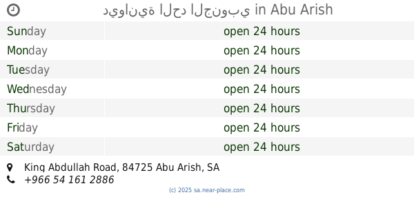
ديوانية الحد الجنوبي
King Abdullah Road, Abu Arish
Cafe
read more
2.336 km
كريم وافل
الربيع،, Abu Arish
Cafe
read more
2.469 km
الايسكريم الناعم Soft ice cream
Abu Arish
Cafe
read more
2.577 km
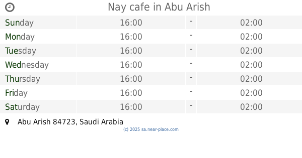
Nay cafe
Abu Arish
Cafe
read more
2.757 km
مقهى مواقع الكيف
King Abdullah Road, Abu Arish
Cafe
read more
2.843 km
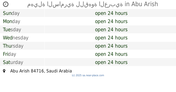
مهيلة السامرية للقهوة العربية
Abu Arish
Cafe
read more
2.859 km
كوفي نسايم
الروضة،, Abu Arish
Cafe
read more
2.892 km
القهوه السودانيه ابو عريش
Abu Arish
Cafe
read more
2.94 km
شاي جمر
King Abdullah Road, Abu Arish
Cafe
read more
📑
all categories
Accounting
Administrative area level 1
Airport
Amusement park
Aquarium
Art gallery
Atm
Bakery
Bank
Bar
Beauty salon
Bicycle store
Book store
Bowling alley
Bus station
Cafe
Campground
Car dealer
Car rental
Car repair
Car wash
Casino
Cemetery
Church
City hall
Clothing store
Colloquial area
Convenience store
Country
Courthouse
Dentist
Department store
Doctor
Electrician
Electronics store
Embassy
Finance
Fire station
Florist
Food
Funeral home
Furniture store
Gas station
General contractor
Grocery or supermarket
Gym
Hair care
Hardware store
Health
Hindu Temple
Home goods store
Hospital
Insurance agency
Intersection
Jewelry store
Laundry
Lawyer
Library
Light rail station
Liquor store
Local government office
Locality
Locksmith
Lodging
Meal delivery
Meal takeaway
Mosque
Movie rental
Movie theater
Moving company
Museum
Natural feature
Neighborhood
Night club
Painter
Park
Parking
Pet store
Pharmacy
Physiotherapist
Place of worship
Plumber
Point of interest
Police
Political
Post office
Premise
Real estate agency
Restaurant
Roofing contractor
Route
Rv park, camping
School
Shoe store
Shopping mall
Spa
Stadium
Storage
Store
Sublocality
Subpremise
Subway station
Supermarket
Taxi stand
Train station
Transit station
Travel agency
University
Veterinary care
Zoo
sublocality level 1
↑