Food nearby سوبيا الغربية
Coronavirus disease (COVID-19) Situation
confirmed cases
841469
deaths
9646
Saudi Arabia
Food nearby سوبيا الغربية
سوبيا الغربية
حي شمسان، أبها Saudi Arabia
contacts phone
:
+966
Latitude:
18.2331956
, Longitude:
42.5038762
read more
nearest Food
469 m
سوق الخضار القديم
Abha
Food
read more
521 m
مطاحن ومحامص نجران
حي الشمسان، أبها
Food
read more
567 m
البلاد للمياه الصحية
حي شمسان، أبها
Food
read more
598 m
AlFakheer Juice
طريق الملك فيصل، حي القرى، أبها
Food
read more
1.07 km
أطيب الأطباق
4708 الرياض، شمسان، أبها 62521
Food
read more
1.177 km
ملحمة ياسمين الشام
شارع شمسانِ، حي شمسان، أبها
Food
read more
1.635 km
مزارع فقيه للدواجن
حي المنهل، أبها
Food
read more
1.69 km
مدينة العصائر
مجمع أغراب، أغراب، حي المنهل، أبها
Food
read more
1.692 km
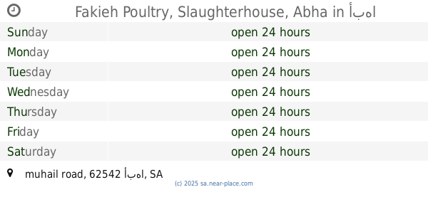
Fakieh Poultry, Slaughterhouse, Abha
muhail road، أبها
Food
read more
1.843 km
عرائسي أبها Abha Arayes
Abha
Food
read more
2.125 km
Fish Market
Abha
Food
read more
2.184 km
عصائر الريان
شارع إشارة النهضة، حي النهضة، أبها
Food
read more
2.367 km
محامص الكيف الخليجي
أبها
Food
read more
2.388 km
الطواجن الساخنة
King Khalid Road, Abha
Food
read more
2.416 km
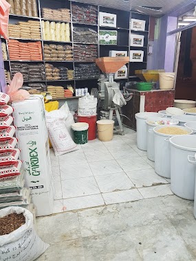
Spices Store
7322 عمر بن عبدالعزيز، العزيزية أبها 62521
Food
read more
2.417 km
Al Khaleej Spices
شارع عمر بن عبد العزيز، أبها
Food
read more
2.442 km
Grain And Spices Store
شارع عمر بن عبد العزيز، أبها
Food
read more
2.468 km
محل الرياض
حي العرين، أبها
Food
read more
2.504 km
مركز شرف الجنوب
حي العرين، أبها
Food
read more
2.508 km
Cup juice
مقابل حديقت بجانب برست لاقونا, Abha
Food
read more
2.627 km
العرئسي للعصيرات الطازجة
7269 الملك سعود, Abha
Food
read more
2.763 km
كوب المزاج للعصائر وقصب السكر
طريق الإمام عبدالرحمن بن فيصل بن تركي, Abha
Food
read more
2.763 km
جست فريش للعصائر
طريق الإمام عبدالرحمن بن فيصل بن تركي، اليمانية، أبها
Food
read more
3.091 km
Abu Hamama Trading Establishment
King Abdul Aziz Road, Abha
Food
read more
3.121 km
هاني للمياه الصحية
Al Soudah Road, Abha
Food
read more
📑
all categories
Accounting
Administrative area level 1
Airport
Amusement park
Aquarium
Art gallery
Atm
Bakery
Bank
Bar
Beauty salon
Bicycle store
Book store
Bowling alley
Bus station
Cafe
Campground
Car dealer
Car rental
Car repair
Car wash
Casino
Cemetery
Church
City hall
Clothing store
Colloquial area
Convenience store
Country
Courthouse
Dentist
Department store
Doctor
Electrician
Electronics store
Embassy
Finance
Fire station
Florist
Food
Funeral home
Furniture store
Gas station
General contractor
Grocery or supermarket
Gym
Hair care
Hardware store
Health
Hindu Temple
Home goods store
Hospital
Insurance agency
Intersection
Jewelry store
Laundry
Lawyer
Library
Light rail station
Liquor store
Local government office
Locality
Locksmith
Lodging
Meal delivery
Meal takeaway
Mosque
Movie rental
Movie theater
Moving company
Museum
Natural feature
Neighborhood
Night club
Painter
Park
Parking
Pet store
Pharmacy
Physiotherapist
Place of worship
Plumber
Point of interest
Police
Political
Post office
Premise
Real estate agency
Restaurant
Roofing contractor
Route
Rv park, camping
School
Shoe store
Shopping mall
Spa
Stadium
Storage
Store
Sublocality
Subpremise
Subway station
Supermarket
Taxi stand
Train station
Transit station
Travel agency
University
Veterinary care
Zoo
sublocality level 1
↑