Hospital nearby Airbase Hospital
Coronavirus disease (COVID-19) Situation
confirmed cases
841469
deaths
9646
Saudi Arabia
Hospital nearby Airbase Hospital
Airbase Hospital
Dhahran Saudi Arabia
contacts phone
:
+966
Latitude:
26.2846113
, Longitude:
50.1506389
read more
nearest Hospital
1.91 km
King AbdhulAziz Airbase Armed Force Hospital
Dhahran
Hospital
read more
2.328 km
The Medical Center
Medical Center Drive, Dhahran
Hospital
read more
2.329 km
KFUPM Medical Center
Medical Center Drive, Dhahran
Hospital
read more
2.593 km
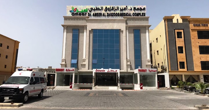
Dr.Ameer Al Zagzoog Medical Complex
Al Khobar
Hospital
read more
2.594 km
امير الزقزوق
Al Khobar
Hospital
read more
2.864 km
JHAH Risk Mgmt
Modular 5816 7965, Dhahran
Hospital
read more
2.926 km
مستشفي رعاية
العليا،, Al Khobar
Hospital
read more
2.929 km
Hospital
Dhahran
Hospital
read more
2.936 km
Clinic of Community Counseling
5140, Dhahran
Hospital
read more
2.952 km
عيادات الصحه النفسيه
5130, Dhahran
Hospital
read more
2.997 km
JHAH Day Surgery عمليات اليوم الواحد
Dhahran
Hospital
read more
3.001 km
رعاية الأورام - ارامكو
Dhahran
Hospital
read more
3.014 km
Hospital Aramco
8027, Dhahran
Hospital
read more
3.022 km
مركز رعاية الدم
8027, Dhahran
Hospital
read more
3.028 km
Procare Hospital
King Saud Road, Al Khobar
Hospital
read more
3.033 km
Procare Hospital
King Saud Branch Road, Al Khobar
Hospital
read more
3.035 km
Cancer Care Centre, JHAH
8027, Dhahran
Hospital
read more
3.097 km
JHAH Emergency Room
Dhahran
Hospital
read more
3.118 km
MRI التصوير بالرنين المغناطيسي
Dhahran
Hospital
read more
3.177 km
Urinary tract clinic
غرب الظهران،, Dhahran
Hospital
read more
3.188 km
Obstetrics and Gynecology Clinic
غرب الظهران،, Dhahran
Hospital
read more
3.226 km
صيدليه الدواء
Zaid Ibn Alkhattab Street, Al Khobar
Hospital
read more
3.234 km
مستشفى الظهران
Dhahran
Hospital
read more
3.294 km
Bus station, Primary Care Clinic
Dhahran
Hospital
read more
3.294 km
عيادة الرعاية الأولية
8289, Dhahran
Hospital
read more
📑
all categories
Accounting
Administrative area level 1
Airport
Amusement park
Aquarium
Art gallery
Atm
Bakery
Bank
Bar
Beauty salon
Bicycle store
Book store
Bowling alley
Bus station
Cafe
Campground
Car dealer
Car rental
Car repair
Car wash
Casino
Cemetery
Church
City hall
Clothing store
Colloquial area
Convenience store
Country
Courthouse
Dentist
Department store
Doctor
Electrician
Electronics store
Embassy
Finance
Fire station
Florist
Food
Funeral home
Furniture store
Gas station
General contractor
Grocery or supermarket
Gym
Hair care
Hardware store
Health
Hindu Temple
Home goods store
Hospital
Insurance agency
Intersection
Jewelry store
Laundry
Lawyer
Library
Light rail station
Liquor store
Local government office
Locality
Locksmith
Lodging
Meal delivery
Meal takeaway
Mosque
Movie rental
Movie theater
Moving company
Museum
Natural feature
Neighborhood
Night club
Painter
Park
Parking
Pet store
Pharmacy
Physiotherapist
Place of worship
Plumber
Point of interest
Police
Political
Post office
Premise
Real estate agency
Restaurant
Roofing contractor
Route
Rv park, camping
School
Shoe store
Shopping mall
Spa
Stadium
Storage
Store
Sublocality
Subpremise
Subway station
Supermarket
Taxi stand
Train station
Transit station
Travel agency
University
Veterinary care
Zoo
sublocality level 1
↑