Lodging nearby الرسام آية
Coronavirus disease (COVID-19) Situation
confirmed cases
841469
deaths
9646
Saudi Arabia
Lodging nearby الرسام آية
الرسام آية
شارع الدعوة، خلف مكتبة الحرم، العزيزية الجنوبية, 24243, مكة, SA Saudi Arabia
contacts phone
:
+966 53 768 7046
Latitude:
21.3980998
, Longitude:
39.866783
larger map & directions
read more
nearest Lodging
34 m
Jana Diar Hotel
15, Mecca
Lodging
read more
34 m
منازل الهدى
3545، الجامعة، مكة 24243 6318،
Lodging
read more
34 m
ضيافات الحرمين 2
6348, Mecca
Lodging
read more
48 m
فندق الحرمين
Unnamed Road, Mecca
Lodging
read more
60 m
Hassan Hotel
3510, Mecca
Lodging
read more
75 m
Meezab Albahaa Hotel
3532, Mecca
Lodging
read more
78 m
Zamzam Alazizia
6388, Mecca
Lodging
read more
78 m
Meezab Albahaa Hotel
Aziza, Mecca
Lodging
read more
83 m
Rubat Aziziya Mecca
Mecca
Lodging
read more
84 m
AL WALEED TOWER HOTEL
6th, 21°23'52.4"N 39°51'57., Riyadh
Lodging
read more
86 m
Azmy bulding
6411, 3593, Mecca
Lodging
read more
94 m
Snood Alazizyh Hotel
6413 At Taif Road, At Taif Rd, Mecca
Lodging
read more
100 m
جوهرة السلام
شارع الدعوة، العزيزية، مكة
Lodging
read more
102 m
عمارة بن لادن العزيزية
Mecca
Lodging
read more
108 m
Hotel 1
Unnamed Road, Mecca
Lodging
read more
115 m
Al Farasha Hotel
Al Aziziyah district - next princes Nouf mosque, Mecca
Lodging
read more
117 m
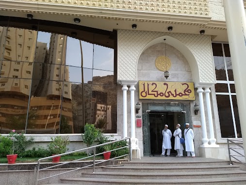
Mohammedi Makan
Bdlg no: 6373,, Taif-Hada Road, Aziziya Junubiyah,, Near Alawi Tunisi Hospital,, Wassel: 24243-3432,, Mecca
Lodging
read more
120 m
فندق بشائر الخير
15, Mecca
Lodging
read more
125 m
Morgan Azizia Hotel
6403, Mecca
Lodging
read more
127 m
عمارتي بمكة
شارع العرب،, Mecca
Lodging
read more
127 m
Dyafat Al Haramen -Dar Al Motaken
6607 الفيصل, Mecca
Lodging
read more
133 m
Spaciousness Meccan
6193, Mecca
Lodging
read more
133 m
قصر الهدى للوحدات الفنددقيه
شارع الدعوة،، مكة
Lodging
read more
146 m
AL Makan AL Mufaddal
Ash Shaikh Abdullah Khayyat, Mecca
Lodging
read more
149 m
فندق عبدالصمد السعداوي 1
شارع الدعوة, Mecca
Lodging
read more
📑
all categories
Accounting
Administrative area level 1
Airport
Amusement park
Aquarium
Art gallery
Atm
Bakery
Bank
Bar
Beauty salon
Bicycle store
Book store
Bowling alley
Bus station
Cafe
Campground
Car dealer
Car rental
Car repair
Car wash
Casino
Cemetery
Church
City hall
Clothing store
Colloquial area
Convenience store
Country
Courthouse
Dentist
Department store
Doctor
Electrician
Electronics store
Embassy
Finance
Fire station
Florist
Food
Funeral home
Furniture store
Gas station
General contractor
Grocery or supermarket
Gym
Hair care
Hardware store
Health
Hindu Temple
Home goods store
Hospital
Insurance agency
Intersection
Jewelry store
Laundry
Lawyer
Library
Light rail station
Liquor store
Local government office
Locality
Locksmith
Lodging
Meal delivery
Meal takeaway
Mosque
Movie rental
Movie theater
Moving company
Museum
Natural feature
Neighborhood
Night club
Painter
Park
Parking
Pet store
Pharmacy
Physiotherapist
Place of worship
Plumber
Point of interest
Police
Political
Post office
Premise
Real estate agency
Restaurant
Roofing contractor
Route
Rv park, camping
School
Shoe store
Shopping mall
Spa
Stadium
Storage
Store
Sublocality
Subpremise
Subway station
Supermarket
Taxi stand
Train station
Transit station
Travel agency
University
Veterinary care
Zoo
sublocality level 1
↑