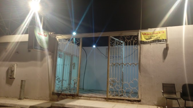
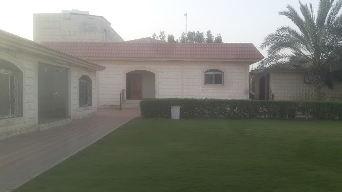
Lodging nearby استراحة الوزيرية
Coronavirus disease (COVID-19) Situation
confirmed cases
841469
deaths
9646
Saudi Arabia
Lodging nearby استراحة الوزيرية
استراحة الوزيرية
3270, الطريق الدائري الجنوبي الفرعي, 14312, Riyadh, SA Saudi Arabia
contacts phone
:
+966 50 105 2276
Latitude:
24.6256763
, Longitude:
46.7965071
larger map & directions
read more
nearest Lodging
170 m
Rest Smurfs
شارع, Riyadh
Lodging
read more
170 m
Rest Smurfs
شارع، الرياض
Lodging
read more
203 m
شقق العاصمة
3307 Southern Ring Road, Riyadh
Lodging
read more
207 m
شاليهات وناسه حي المناخ مخرج 18
المناخ، الرياض
Lodging
read more
207 m
شاليهات وناسه حي المناخ مخرج 18
3069 8034, Riyadh
Lodging
read more
211 m
Asirahh Novh
3161 الطريق الدائري الجنوبي، المناخ، الرياض 14312 8289 Southern Ring Road, Riyadh
Lodging
read more
213 m
Chalets Mostar
Nablis, Riyadh
Lodging
read more
215 m
Amisina Hotel
Southern Ring Road, Riyadh
Lodging
read more
216 m
Nofa Isthiraha
3190, Riyadh
Lodging
read more
248 m
Nozol Alasema Aparthotel
الطريق الدائري الجنوبي حي المناخ, Riyadh
Lodging
read more
267 m
شاليهات الارض السعيدة
Lodging
read more
286 m
الاستش😎💃
Riyadh
Lodging
read more
305 m
قاعة الملكية
3387 Southern Ring Road, Riyadh
Lodging
read more
311 m
استراحة الخالدية
7820 الطريق الدائري الجنوبي الفرعي, 3171, Riyadh
Lodging
read more
365 m
استراحة الفارس
Riyadh
Lodging
read more
378 m
شباب الثلاثاء
Riyadh
Lodging
read more
423 m
Istirahah Al Manakh
3475, 7742, Riyadh
Lodging
read more
424 m
شاليه الصالحيه
3191, 7691, Riyadh
Lodging
read more
428 m
Marwa Rest House
3665, Riyadh
Lodging
read more
438 m
Al Saaleha
3167, Riyadh
Lodging
read more
467 m
Istharaha Saliyah
Unnamed Road, Riyadh
Lodging
read more
490 m
قصر المبيت (SAR 125)
Southern Ring Road, Riyadh
Lodging
read more
496 m
شاليه الوباري
7959 عبدالعزيز الفريح, Riyadh
Lodging
read more
523 m
ملتقى العائلة
الرياض
Lodging
read more
541 m
شاليهات VIP
8173, Riyadh
Lodging
read more
📑
all categories
Accounting
Administrative area level 1
Airport
Amusement park
Aquarium
Art gallery
Atm
Bakery
Bank
Bar
Beauty salon
Bicycle store
Book store
Bowling alley
Bus station
Cafe
Campground
Car dealer
Car rental
Car repair
Car wash
Casino
Cemetery
Church
City hall
Clothing store
Colloquial area
Convenience store
Country
Courthouse
Dentist
Department store
Doctor
Electrician
Electronics store
Embassy
Finance
Fire station
Florist
Food
Funeral home
Furniture store
Gas station
General contractor
Grocery or supermarket
Gym
Hair care
Hardware store
Health
Hindu Temple
Home goods store
Hospital
Insurance agency
Intersection
Jewelry store
Laundry
Lawyer
Library
Light rail station
Liquor store
Local government office
Locality
Locksmith
Lodging
Meal delivery
Meal takeaway
Mosque
Movie rental
Movie theater
Moving company
Museum
Natural feature
Neighborhood
Night club
Painter
Park
Parking
Pet store
Pharmacy
Physiotherapist
Place of worship
Plumber
Point of interest
Police
Political
Post office
Premise
Real estate agency
Restaurant
Roofing contractor
Route
Rv park, camping
School
Shoe store
Shopping mall
Spa
Stadium
Storage
Store
Sublocality
Subpremise
Subway station
Supermarket
Taxi stand
Train station
Transit station
Travel agency
University
Veterinary care
Zoo
sublocality level 1
↑