Lodging nearby Break Marbella
Saudi Arabia
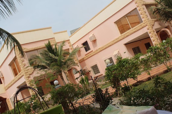
Lodging nearby Break Marbella
Break Marbella
4534, Jeddah Saudi Arabia
contacts phone
:
+966
Latitude:
21.810663
, Longitude:
39.06456
read more
nearest Lodging
848 m
استراحة جمال أفندي (أبو محمد)
Lodging
read more
848 m
استراحة جمال أفندي (أبو محمد)
Saudi Arabia
Lodging
read more
872 m
استراحة الخالدية
Az Zumurud, Jeddah
Lodging
read more
1.205 km
استراحة الامراء
Unnamed Road, Jeddah
Lodging
read more
1.247 km
شالية الزمرد
Jeddah
Lodging
read more
1.247 km
شاليه الزمرد
Jeddah
Lodging
read more
1.247 km
شالية الزمورد
Jeddah
Lodging
read more
1.342 km
استراحة الريانة للمناسبات
8128 AZ Zomorod District Jeddah 23822
Lodging
read more
1.492 km
Istraha Al Nakheel
طريق الملك سعود، حي الصوارى، جدة
Lodging
read more
1.642 km
Aslam Rja
Jeddah
Lodging
read more
1.764 km
استراحه ضيافة جواد
2549، حي الزمرد، جدة 23826 8566،
Lodging
read more
1.764 km
ضيافة الجود
Jeddah
Lodging
read more
1.904 km
وسام الحسني
Dahaban
Lodging
read more
1.904 km
وسام الحسني
Dhahban
Lodging
read more
2.155 km
ليندا
Jeddah
Lodging
read more
2.221 km
استراحة Happy Day
8696, حي الياقوت،, Jeddah
Lodging
read more
2.234 km
استراحة
8696, حي الياقوت،, Jeddah
Lodging
read more
2.498 km
عمارتي بحي الصواري
جدة
Lodging
read more
2.51 km
دار آل خان الهاشمي
3013 Al Yaqoot District Jeddah 23826
Lodging
read more
2.51 km
Khan Alhashimi Residence
3013 Al Yaqoot District Jeddah 23826
Lodging
read more
2.617 km
لؤلؤة فلوة
Dahaban
Lodging
read more
2.75 km
منتجع ليتل ريسورت
Unnamed Road, Jeddah
Lodging
read more
2.751 km
Little resort
3933, As Swaryee District, Jeddah
Lodging
read more
2.794 km
Resortini
Obhur Branch, Jeddah
Lodging
read more
2.851 km
Salem Beach Resort
7754 Abhar, 7754 Abhar, AZ Zomorod District, Jeddah 23822 2500, Saudi Arabia, Jeddah
Lodging
read more
📑
all categories
Accounting
Administrative area level 1
Airport
Amusement park
Aquarium
Art gallery
Atm
Bakery
Bank
Bar
Beauty salon
Bicycle store
Book store
Bowling alley
Bus station
Cafe
Campground
Car dealer
Car rental
Car repair
Car wash
Casino
Cemetery
Church
City hall
Clothing store
Colloquial area
Convenience store
Country
Courthouse
Dentist
Department store
Doctor
Electrician
Electronics store
Embassy
Finance
Fire station
Florist
Food
Funeral home
Furniture store
Gas station
General contractor
Grocery or supermarket
Gym
Hair care
Hardware store
Health
Hindu Temple
Home goods store
Hospital
Insurance agency
Intersection
Jewelry store
Laundry
Lawyer
Library
Light rail station
Liquor store
Local government office
Locality
Locksmith
Lodging
Meal delivery
Meal takeaway
Mosque
Movie rental
Movie theater
Moving company
Museum
Natural feature
Neighborhood
Night club
Painter
Park
Parking
Pet store
Pharmacy
Physiotherapist
Place of worship
Plumber
Point of interest
Police
Political
Post office
Premise
Real estate agency
Restaurant
Roofing contractor
Route
Rv park, camping
School
Shoe store
Shopping mall
Spa
Stadium
Storage
Store
Sublocality
Subpremise
Subway station
Supermarket
Taxi stand
Train station
Transit station
Travel agency
University
Veterinary care
Zoo
sublocality level 1
↑