Lodging nearby Hayat Hotel
Coronavirus disease (COVID-19) Situation
confirmed cases
841469
deaths
9646
Saudi Arabia
Lodging nearby Hayat Hotel
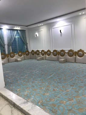
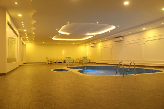
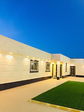
Hayat Hotel
النفل،, Hail Saudi Arabia
contacts phone
:
+966 50 867 3749
Latitude:
27.5850541
, Longitude:
41.7341084
larger map & directions
read more
nearest Lodging
307 m
Resalin Hotel Suites
Hail
Lodging
read more
1.278 km
استراحة الورود
Hail
Lodging
read more
1.519 km
منتجع بيرُحاء
الياسمين الخزامي،
Lodging
read more
1.53 km
منتجع دندنه
حائل
Lodging
read more
1.593 km
مسكن م. صالح عبدالعزيز القفيعي
Unnamed Road, Hail
Lodging
read more
1.696 km
منتجع الذهبية للاحتفالات شاليه استراحة
Unnamed Road, Hail
Lodging
read more
1.751 km
Lavender Hail resort
german Saudi Hospital
Lodging
read more
1.753 km
منتجع لافندر حائل
Hail
Lodging
read more
1.792 km
تميز الاقامة
الخزامي، حائل
Lodging
read more
1.933 km
استراحة الضياغم
السويفلة،، حائل
Lodging
read more
1.996 km
منتجع بيروت للايجار اليومي
3550, 8140, Hail
Lodging
read more
2.048 km
منتجع ويك إند
Saudi Arabia
Lodging
read more
2.048 km
منتجع ويك إند
Lodging
read more
2.198 km
شاليه نايس
الياسمين الخزامي،
Lodging
read more
2.234 km
Night 4 You 2
Hail
Lodging
read more
2.244 km
شقق مبيت الاحلام
حي الخزامى خلف مستشفى الالماني, Hail
Lodging
read more
2.251 km
مبيت الاحلام
2864, Hail
Lodging
read more
2.369 km
سكناي فرع الخزامى للأجنحة الفندقية
Hail
Lodging
read more
2.435 km
Fragrant lavender Furnished Apartments
2747, Hail
Lodging
read more
2.463 km
ميسم
Unnamed Road, Hail
Lodging
read more
2.501 km
شاليهات نوادر
Unnamed Road, Hail
Lodging
read more
2.616 km
شاليه الجود
Hail
Lodging
read more
3.136 km
Diar al-Tai Furnished Apartments
4472, Hail
Lodging
read more
3.194 km
قصر الخزامى للشقق المفروشه
7285, Hail
Lodging
read more
3.217 km
استراحة الأضواء
حائل
Lodging
read more
📑
all categories
Accounting
Administrative area level 1
Airport
Amusement park
Aquarium
Art gallery
Atm
Bakery
Bank
Bar
Beauty salon
Bicycle store
Book store
Bowling alley
Bus station
Cafe
Campground
Car dealer
Car rental
Car repair
Car wash
Casino
Cemetery
Church
City hall
Clothing store
Colloquial area
Convenience store
Country
Courthouse
Dentist
Department store
Doctor
Electrician
Electronics store
Embassy
Finance
Fire station
Florist
Food
Funeral home
Furniture store
Gas station
General contractor
Grocery or supermarket
Gym
Hair care
Hardware store
Health
Hindu Temple
Home goods store
Hospital
Insurance agency
Intersection
Jewelry store
Laundry
Lawyer
Library
Light rail station
Liquor store
Local government office
Locality
Locksmith
Lodging
Meal delivery
Meal takeaway
Mosque
Movie rental
Movie theater
Moving company
Museum
Natural feature
Neighborhood
Night club
Painter
Park
Parking
Pet store
Pharmacy
Physiotherapist
Place of worship
Plumber
Point of interest
Police
Political
Post office
Premise
Real estate agency
Restaurant
Roofing contractor
Route
Rv park, camping
School
Shoe store
Shopping mall
Spa
Stadium
Storage
Store
Sublocality
Subpremise
Subway station
Supermarket
Taxi stand
Train station
Transit station
Travel agency
University
Veterinary care
Zoo
sublocality level 1
↑