Lodging nearby شاليه أكاسيا
Coronavirus disease (COVID-19) Situation
confirmed cases
841469
deaths
9646
Saudi Arabia
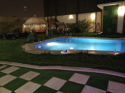
Lodging nearby شاليه أكاسيا
شاليه أكاسيا
3239, An Narjis, Riyadh 13333, Saudi Arabia
contacts phone
:
+966 53 791 7841
Latitude:
24.8503029
, Longitude:
46.6571455
larger map & directions
read more
nearest Lodging
36 m
شالية إيبوه
3239, Riyadh
Lodging
read more
38 m
شاليه اكاسيا
Unayzah
Lodging
read more
100 m
شاليه يوم الراحة
3262, 6869, Riyadh
Lodging
read more
287 m
Relief Resort
King Salman Road, Riyadh
Lodging
read more
587 m
شاليهات أماسينا النرجس
Riyadh
Lodging
read more
635 m
مجمع فلل عبدالله سليمان الخلف
Unnamed Road, Riyadh
Lodging
read more
840 m
استراحات النرجس
شارع يدمة, Riyadh
Lodging
read more
877 m
شاليهات FSK
Unnamed Road, Riyadh
Lodging
read more
879 m
ميليسيا
طريق الربيع، النرجس، الرياض
Lodging
read more
887 m
Escape Away
Unnamed Road, Riyadh
Lodging
read more
918 m
Shahen Resort
7606, Riyadh
Lodging
read more
972 m
Stars resort
Riyadh
Lodging
read more
994 m
شاليهات النخلة
Riyadh
Lodging
read more
1.013 km
بيتنا النرجس
Riyadh
Lodging
read more
1.152 km
Chalets Moments
Riyadh
Lodging
read more
1.235 km
فلل النرجس تكاتف نجد
مطار الملك خالد الدولي، طريق الملك سلمان، الرياض
Lodging
read more
1.382 km
بيت الدخيل
15, 3589, Al Yasmin, Riyadh 13326 8251 villa, Riyadh
Lodging
read more
1.408 km
نارسيس
Riyadh
Lodging
read more
1.455 km
Al Nargas Resorts
Prince Saud Ibn Abdullah Ibn Jalawi, Riyadh
Lodging
read more
1.617 km
شاليه كارولينا
Unnamed Road, Riyadh
Lodging
read more
1.64 km
شاليهات النرجس
Riyadh
Lodging
read more
1.65 km
شاليهات وغرف عزاب الباسل
Riyadh
Lodging
read more
1.652 km
العيلان
Riyadh
Lodging
read more
1.721 km
ام عبدالرحمن الخوير
Riyadh
Lodging
read more
1.763 km
شاليهات اودي ڤيل
Uthman Ibn Affan Road, Riyadh
Lodging
read more
📑
all categories
Accounting
Administrative area level 1
Airport
Amusement park
Aquarium
Art gallery
Atm
Bakery
Bank
Bar
Beauty salon
Bicycle store
Book store
Bowling alley
Bus station
Cafe
Campground
Car dealer
Car rental
Car repair
Car wash
Casino
Cemetery
Church
City hall
Clothing store
Colloquial area
Convenience store
Country
Courthouse
Dentist
Department store
Doctor
Electrician
Electronics store
Embassy
Finance
Fire station
Florist
Food
Funeral home
Furniture store
Gas station
General contractor
Grocery or supermarket
Gym
Hair care
Hardware store
Health
Hindu Temple
Home goods store
Hospital
Insurance agency
Intersection
Jewelry store
Laundry
Lawyer
Library
Light rail station
Liquor store
Local government office
Locality
Locksmith
Lodging
Meal delivery
Meal takeaway
Mosque
Movie rental
Movie theater
Moving company
Museum
Natural feature
Neighborhood
Night club
Painter
Park
Parking
Pet store
Pharmacy
Physiotherapist
Place of worship
Plumber
Point of interest
Police
Political
Post office
Premise
Real estate agency
Restaurant
Roofing contractor
Route
Rv park, camping
School
Shoe store
Shopping mall
Spa
Stadium
Storage
Store
Sublocality
Subpremise
Subway station
Supermarket
Taxi stand
Train station
Transit station
Travel agency
University
Veterinary care
Zoo
sublocality level 1
↑