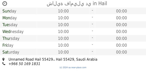
Lodging nearby شاليه الخليج
Coronavirus disease (COVID-19) Situation
confirmed cases
841469
deaths
9646
Saudi Arabia
Lodging nearby شاليه الخليج
شاليه الخليج
Hail Saudi Arabia
contacts phone
:
+966
Latitude:
27.5307968
, Longitude:
41.7574792
read more
nearest Lodging
1.199 km
استراحة فيروز
Hail
Lodging
read more
1.327 km
إستراحة ريم الشرق
الخزامى Unnamed Road, Hail
Lodging
read more
1.327 km
إستراحة ريم الشرق
Unnamed Road, Hail
Lodging
read more
1.962 km
منتجع عين المها
Hail
Lodging
read more
2.068 km
Jo Jo Resort
4773, Hail
Lodging
read more
2.263 km
شالية فاميلي دي
Unnamed Road Hail 55429،
Lodging
read more
2.291 km
Omsata Resort
4797, Hail
Lodging
read more
2.315 km
منتجع الكوخ
3358 حائل 55429
Lodging
read more
2.377 km
منتجع حنين
حائل شرق, Hail
Lodging
read more
2.463 km
منتجع اتلانتس
Unnamed Road, Hail
Lodging
read more
2.574 km
Lamia Resort and juicy Kingdom
4207, Hail
Lodging
read more
2.584 km
حير الموينع
3102 حائل 55429
Lodging
read more
2.602 km
استراحة الرين
4334 حائل 55429
Lodging
read more
2.79 km
Hail Housing Peoject
Near Alkhodari ofc
Lodging
read more
2.824 km
Kingdom Resort
3568, Hail
Lodging
read more
2.846 km
Yanud Apart-Hotels
King Fahad Road, Hail
Lodging
read more
2.846 km
Jablah 1 ApartHotel
King Abdullah rd, Hail
Lodging
read more
2.846 km
Bait AlMoqim Hotel Apartments
King Abdullah District, Hail
Lodging
read more
2.988 km
Dora corners 2
حائل
Lodging
read more
3.252 km
Wahg Alkhalidiya
الدائري الشرقي, حي المملكة, Hail
Lodging
read more
3.265 km
استراحة الأضواء
حائل
Lodging
read more
3.619 km
منتجع آراك حائل
حائل
Lodging
read more
3.826 km
منتجع السمراء
امارة منطقة حائل, Ar Riyadh, Hail
Lodging
read more
3.873 km
منتجع واسط
Al Jarr, Hail
Lodging
read more
3.937 km
بيت سند سلمان ال خمسام
Hail
Lodging
read more
📑
all categories
Accounting
Administrative area level 1
Airport
Amusement park
Aquarium
Art gallery
Atm
Bakery
Bank
Bar
Beauty salon
Bicycle store
Book store
Bowling alley
Bus station
Cafe
Campground
Car dealer
Car rental
Car repair
Car wash
Casino
Cemetery
Church
City hall
Clothing store
Colloquial area
Convenience store
Country
Courthouse
Dentist
Department store
Doctor
Electrician
Electronics store
Embassy
Finance
Fire station
Florist
Food
Funeral home
Furniture store
Gas station
General contractor
Grocery or supermarket
Gym
Hair care
Hardware store
Health
Hindu Temple
Home goods store
Hospital
Insurance agency
Intersection
Jewelry store
Laundry
Lawyer
Library
Light rail station
Liquor store
Local government office
Locality
Locksmith
Lodging
Meal delivery
Meal takeaway
Mosque
Movie rental
Movie theater
Moving company
Museum
Natural feature
Neighborhood
Night club
Painter
Park
Parking
Pet store
Pharmacy
Physiotherapist
Place of worship
Plumber
Point of interest
Police
Political
Post office
Premise
Real estate agency
Restaurant
Roofing contractor
Route
Rv park, camping
School
Shoe store
Shopping mall
Spa
Stadium
Storage
Store
Sublocality
Subpremise
Subway station
Supermarket
Taxi stand
Train station
Transit station
Travel agency
University
Veterinary care
Zoo
sublocality level 1
↑