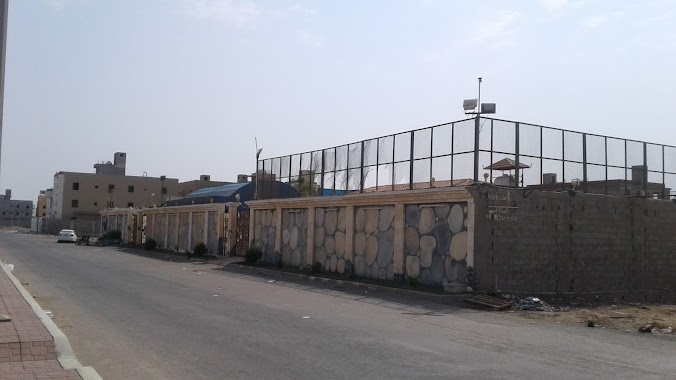
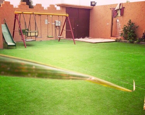
Lodging nearby شالية نيوم
Saudi Arabia
Lodging nearby شالية نيوم
شالية نيوم
4363, Al Amwaj District, Jeddah 23814, Al-Ammwaj, Jeddah 8250, Saudi Arabia
contacts phone
:
+966 55 535 9443
Latitude:
21.7548989
, Longitude:
39.0814392
larger map & directions
read more
nearest Lodging
324 m
استراحة الخزامى
8325, حي الشراع، 4649, Jeddah
Lodging
read more
411 m
استراحة الميهاف 2
4754, حي الشراع، 8375, Jeddah
Lodging
read more
571 m
استراحة اللؤلؤة
جدة
Lodging
read more
648 m
Alsafwah resort
Jeddah
Lodging
read more
749 m
House Laveena Hotel Apartments
North Abhor, Prince Naief Street, Jeddah
Lodging
read more
755 m
استراحة ايدوس
5070, حي الشراع،, Jeddah
Lodging
read more
770 m
Dar Lavina residential units
Prince Naif Road, Jeddah
Lodging
read more
779 m
Dar Lavina residential units
Jeddah
Lodging
read more
802 m
استراحة الأمواج
Unnamed Road, ابحر الشماليه, Jeddah
Lodging
read more
866 m
Asia Alshalhob
Jeddah
Lodging
read more
883 m
Alamwaj Chalet
Prince naif Road Prince naif Road، Obhor
Lodging
read more
920 m
إستراحة قصر الشمال بجدة (VIP)
Jeddah
Lodging
read more
972 m
استراحة دانة الشراع بجدة
Prince Naif Road, Jeddah
Lodging
read more
1.031 km
Break Almihav
Jeddah
Lodging
read more
1.18 km
استراحة المشاعل
Prince Abdullah AlFiasal Street, Jeddah
Lodging
read more
1.314 km
استراحة golden time
Prince Abdullah AlFiasal Street, Jeddah
Lodging
read more
1.727 km
ماسة ابحر للوحدات السكنية المفروشة
طريق الأمير نايف،، جدة
Lodging
read more
1.728 km
ماسا أبحر
Jeddah
Lodging
read more
1.746 km
Dyar Sara
Jeddah
Lodging
read more
1.757 km
استراحة فينيسيا
6710 حي الياقوت جدة 23824
Lodging
read more
1.761 km
Dyar Sara ديار سارة
جدة
Lodging
read more
1.761 km
Dyar sara
جدة
Lodging
read more
1.784 km
استراحة 505 أبحر الشمالية بجده
Ash Sheraa District, Jeddah 23816
Lodging
read more
1.9 km
استراحة الخيال مكارم 3
3588, Al Loaloa District, Jeddah
Lodging
read more
1.914 km
استراحة الخيال مكارم
3588, Al Loaloa District, Jeddah
Lodging
read more
📑
all categories
Accounting
Administrative area level 1
Airport
Amusement park
Aquarium
Art gallery
Atm
Bakery
Bank
Bar
Beauty salon
Bicycle store
Book store
Bowling alley
Bus station
Cafe
Campground
Car dealer
Car rental
Car repair
Car wash
Casino
Cemetery
Church
City hall
Clothing store
Colloquial area
Convenience store
Country
Courthouse
Dentist
Department store
Doctor
Electrician
Electronics store
Embassy
Finance
Fire station
Florist
Food
Funeral home
Furniture store
Gas station
General contractor
Grocery or supermarket
Gym
Hair care
Hardware store
Health
Hindu Temple
Home goods store
Hospital
Insurance agency
Intersection
Jewelry store
Laundry
Lawyer
Library
Light rail station
Liquor store
Local government office
Locality
Locksmith
Lodging
Meal delivery
Meal takeaway
Mosque
Movie rental
Movie theater
Moving company
Museum
Natural feature
Neighborhood
Night club
Painter
Park
Parking
Pet store
Pharmacy
Physiotherapist
Place of worship
Plumber
Point of interest
Police
Political
Post office
Premise
Real estate agency
Restaurant
Roofing contractor
Route
Rv park, camping
School
Shoe store
Shopping mall
Spa
Stadium
Storage
Store
Sublocality
Subpremise
Subway station
Supermarket
Taxi stand
Train station
Transit station
Travel agency
University
Veterinary care
Zoo
sublocality level 1
↑