Mosque nearby Bakery Mosque
Saudi Arabia
Mosque nearby Bakery Mosque
Bakery Mosque
6451, 3285, Riyadh Saudi Arabia
contacts phone
:
+966
Latitude:
24.668858
, Longitude:
46.7123202
read more
nearest Mosque
283 m
جامع الغامدي - Masjid Al Ghamdi
3356 القيرواني, 6733, Riyadh
Mosque
read more
371 m
مسجد الراجحي
3154 Asim Ibn Khalifah, 6799, Riyadh
Mosque
read more
372 m
Inam Ul Rub Mosque
Riyadh
Mosque
read more
376 m
جامع مفرح غرمان العمري
6581 شارع الأمير عبدالرحمن بن عبدالعزيز، المربع الرياض 12626
Mosque
read more
574 m
Masjid
7001 الشويعر الحنفي, 3178, Riyadh
Mosque
read more
619 m
مسجد أبي ذر الغفاري
6869 Al Muqri Al Marzaqi, Riyadh
Mosque
read more
651 m
Afaq Masjid
3690 Al Bariz, Al Murabba, Riyadh 12612 8037 Al Bariz, Riyadh
Mosque
read more
807 m
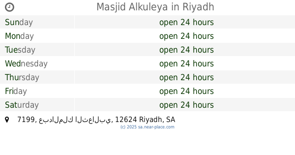
Masjid Alkuleya
7199 عبدالملك الثعالبي, 3002, Riyadh
Mosque
read more
810 m
مسجد الكلية Masjid Al Kulliya
2966 الهذلي, 7182, Riyadh
Mosque
read more
826 m
Sheikh Ali Al Fahd Masjid
7633 الامام الشوكاني, Riyadh
Mosque
read more
834 m
Jum'ah Masjid
7278 Ash shaikh Abdul Rahman Ibn Hasan, Riyadh
Mosque
read more
836 m
Masjid Sheikh Ali Al Fahd
Prince Faisal Bin Turki Bin Abdulaziz Street, Riyadh
Mosque
read more
849 m
Mosque
7545 الامام الشوكاني, Riyadh
Mosque
read more
856 m
مسجد حي المربع
3409 الحسناء، المربع، الرياض 12612 7868 Al Hasana, Riyadh
Mosque
read more
862 m
Masjid
Al Hasana, Riyadh
Mosque
read more
882 m
Sultan Mosque
2272 ابراهيم الطليطلي, Riyadh
Mosque
read more
956 m
Baldiya Mosque
Riyadh
Mosque
read more
959 m
Wadi Al Qary, Al Wazarat Mosque
3068 Wadi Al Qary, Riyadh
Mosque
read more
994 m
مسجد, Mosque
Al Farazdaq Road, Riyadh
Mosque
read more
1.026 km
حكيم بن خزام
Al Farazdaq Road, Riyadh
Mosque
read more
1.026 km
حكيم بن حزام
Al Farazdaq Road, Riyadh
Mosque
read more
1.069 km
Omar Ibn Al-Khattab Mosque
Al Wizarat
Mosque
read more
1.069 km
Omar Ibn Al-Khattab Mosque
Riyadh
Mosque
read more
1.07 km
Masjid Al Hadaddy
2824 Al Ghafaqi, Riyadh
Mosque
read more
1.079 km
Masjid Al-Haddady
2824 Al Ghafaqi, Riyadh
Mosque
read more
📑
all categories
Accounting
Administrative area level 1
Airport
Amusement park
Aquarium
Art gallery
Atm
Bakery
Bank
Bar
Beauty salon
Bicycle store
Book store
Bowling alley
Bus station
Cafe
Campground
Car dealer
Car rental
Car repair
Car wash
Casino
Cemetery
Church
City hall
Clothing store
Colloquial area
Convenience store
Country
Courthouse
Dentist
Department store
Doctor
Electrician
Electronics store
Embassy
Finance
Fire station
Florist
Food
Funeral home
Furniture store
Gas station
General contractor
Grocery or supermarket
Gym
Hair care
Hardware store
Health
Hindu Temple
Home goods store
Hospital
Insurance agency
Intersection
Jewelry store
Laundry
Lawyer
Library
Light rail station
Liquor store
Local government office
Locality
Locksmith
Lodging
Meal delivery
Meal takeaway
Mosque
Movie rental
Movie theater
Moving company
Museum
Natural feature
Neighborhood
Night club
Painter
Park
Parking
Pet store
Pharmacy
Physiotherapist
Place of worship
Plumber
Point of interest
Police
Political
Post office
Premise
Real estate agency
Restaurant
Roofing contractor
Route
Rv park, camping
School
Shoe store
Shopping mall
Spa
Stadium
Storage
Store
Sublocality
Subpremise
Subway station
Supermarket
Taxi stand
Train station
Transit station
Travel agency
University
Veterinary care
Zoo
sublocality level 1
↑