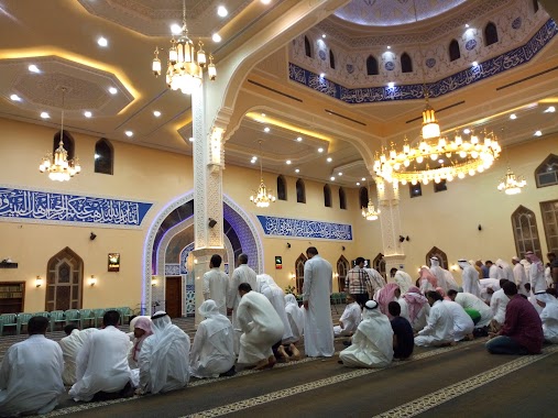
Mosque nearby Imam Hussein Mosque
Coronavirus disease (COVID-19) Situation
confirmed cases
841469
deaths
9646
Saudi Arabia
Mosque nearby Imam Hussein Mosque
Imam Hussein Mosque
Al Manakh, Tarout 32617, Saudi Arabia
contacts phone
:
+966
Latitude:
26.5708695
, Longitude:
50.0527671
larger map & directions
read more
nearest Mosque
287 m
مسجد الرسول الأعظم بالدخل المحدود
Al Fath
Mosque
read more
971 m
مسجد الرسول الاعظم
Tarout
Mosque
read more
993 m
مسجد الإمام الحسن المجتبى
As Sadafah
Mosque
read more
996 m
Masjid Alsheikh Fayez
Al Jabal
Mosque
read more
1.037 km
مسجد الفتح
As Sadafah
Mosque
read more
1.124 km
مسجد أبو الفضل
الديرة،, Tarout
Mosque
read more
1.138 km
مجمع الحجة الخيري
Al Qatif
Mosque
read more
1.157 km
Mosque of Imam Jawad, peace be upon him
Tarut Street, Al Qatif
Mosque
read more
1.157 km
مسجد الشيخ يوسف
3062, Tarout
Mosque
read more
1.216 km
مسجد وحسينية المرتضى
Uhud Road, Al Qatif
Mosque
read more
1.216 km
Almurtda Mosque
Uhud Road, Al Qatif
Mosque
read more
1.226 km
Al Mustafa mosque
Tarout
Mosque
read more
1.23 km
Masjid Al Amma
Tarout
Mosque
read more
1.273 km
مسجد أبو عزيز
طريق دوار السمك، تاروت
Mosque
read more
1.28 km
مسجد الحسن العسكري
Az Zomorod
Mosque
read more
1.285 km
مسجد الحمام (مسجد الإمام العسكري)
3285, 7473, Tarout
Mosque
read more
1.318 km
مسجد العين
شارع حجر بن عدي, Tarout
Mosque
read more
1.324 km
مسجد الامام زين العابدين
3322, Tarout
Mosque
read more
1.341 km
الحسينية الجعفرية التركي بتاروت
Tarout
Mosque
read more
1.344 km
الحسينية الجعفرية التركي
7820, 3329, Tarout
Mosque
read more
1.4 km
مسجد
Tarout
Mosque
read more
1.424 km
Al-Baqir Mosque
Tarout
Mosque
read more
1.429 km
مسجد قطعة بني يعقوب
Tarout
Mosque
read more
1.448 km
مسجد الصياح
3422, 7285, Tarout
Mosque
read more
1.45 km
Zahra Mosque
3134, 6678, Tarout
Mosque
read more
📑
all categories
Accounting
Administrative area level 1
Airport
Amusement park
Aquarium
Art gallery
Atm
Bakery
Bank
Bar
Beauty salon
Bicycle store
Book store
Bowling alley
Bus station
Cafe
Campground
Car dealer
Car rental
Car repair
Car wash
Casino
Cemetery
Church
City hall
Clothing store
Colloquial area
Convenience store
Country
Courthouse
Dentist
Department store
Doctor
Electrician
Electronics store
Embassy
Finance
Fire station
Florist
Food
Funeral home
Furniture store
Gas station
General contractor
Grocery or supermarket
Gym
Hair care
Hardware store
Health
Hindu Temple
Home goods store
Hospital
Insurance agency
Intersection
Jewelry store
Laundry
Lawyer
Library
Light rail station
Liquor store
Local government office
Locality
Locksmith
Lodging
Meal delivery
Meal takeaway
Mosque
Movie rental
Movie theater
Moving company
Museum
Natural feature
Neighborhood
Night club
Painter
Park
Parking
Pet store
Pharmacy
Physiotherapist
Place of worship
Plumber
Point of interest
Police
Political
Post office
Premise
Real estate agency
Restaurant
Roofing contractor
Route
Rv park, camping
School
Shoe store
Shopping mall
Spa
Stadium
Storage
Store
Sublocality
Subpremise
Subway station
Supermarket
Taxi stand
Train station
Transit station
Travel agency
University
Veterinary care
Zoo
sublocality level 1
↑