Mosque nearby Masijd Dakhnah
Saudi Arabia
Mosque nearby Masijd Dakhnah
Masijd Dakhnah
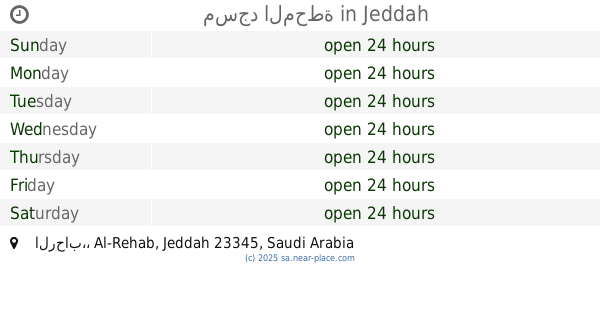
Al-Rehab, Jeddah 23344, Saudi Arabia
contacts phone
:
+966
Latitude:
21.5522936
, Longitude:
39.2334309
larger map & directions
read more
nearest Mosque
309 m
Masjid Ubay ibn Ka'b
Daghdash, Jeddah
Mosque
read more
448 m
جامع رحاب الايمان
7674 Dahin, حي الرحاب،, Jeddah
Mosque
read more
451 m
مسجد
Al-Rehab
Mosque
read more
479 m
Masjid Saad Ibn Muadh
5166 Halban, AR Rihab District, Jeddah
Mosque
read more
537 m
Mosque Ebad Ul Rehman Mqsjid
Ibn Dhafr Alsaqily, Jeddah
Mosque
read more
566 m
مسجد الأمين
شارع أبوالقاسم، جدة
Mosque
read more
752 m
Alkheleewi mosque
Bilghazi, Jeddah
Mosque
read more
822 m
Almirabi Mosque
Jeddah
Mosque
read more
854 m
Al Salmiyah Mosque
Ahmed bin Hasan Al Layali, Jeddah
Mosque
read more
884 m
Al Sudais Mosque 🕌
Al Hassaniyah, Jeddah
Mosque
read more
908 m
مسجد
Ar Rehab
Mosque
read more
910 m
مصلى العيد بحي السالمية
الواحة،, Jeddah
Mosque
read more
926 m
Anas Ibn Malik Mosque
7030 Az Zilaq, حي الرحاب،, Jeddah
Mosque
read more
972 m
مسجد المحطة
الرحاب،, Jeddah
Mosque
read more
1.168 km
Alrryan Mosque
Jeddah
Mosque
read more
1.168 km
مسجد
Ibrahim Al Janini, Jeddah
Mosque
read more
1.186 km
Masjid Al Noor
Al Jubayl Al Bahri, Jeddah
Mosque
read more
1.19 km
Masjid Noor
8314 Al Jibb, AR Rihab District, Jeddah 23344 3985 Al Jibb, Jeddah
Mosque
read more
1.204 km
مسجد ابو بكر
Jeddah
Mosque
read more
1.262 km
Jubarah Alahmadi Mosque
4322 Al Khasrah، Jeddah
Mosque
read more
1.315 km
Masjid Al Rehab
Jeddah
Mosque
read more
1.362 km
Oasis Mosque
Abdullah Baroum, Jeddah
Mosque
read more
1.368 km
جامع الشكر حي الرحاب
الفرش، الرحاب،, Jeddah
Mosque
read more
1.38 km
مسجد الشكر
Jeddah
Mosque
read more
1.382 km
Al Shukr Mosque
Ar Rehab
Mosque
read more
📑
all categories
Accounting
Administrative area level 1
Airport
Amusement park
Aquarium
Art gallery
Atm
Bakery
Bank
Bar
Beauty salon
Bicycle store
Book store
Bowling alley
Bus station
Cafe
Campground
Car dealer
Car rental
Car repair
Car wash
Casino
Cemetery
Church
City hall
Clothing store
Colloquial area
Convenience store
Country
Courthouse
Dentist
Department store
Doctor
Electrician
Electronics store
Embassy
Finance
Fire station
Florist
Food
Funeral home
Furniture store
Gas station
General contractor
Grocery or supermarket
Gym
Hair care
Hardware store
Health
Hindu Temple
Home goods store
Hospital
Insurance agency
Intersection
Jewelry store
Laundry
Lawyer
Library
Light rail station
Liquor store
Local government office
Locality
Locksmith
Lodging
Meal delivery
Meal takeaway
Mosque
Movie rental
Movie theater
Moving company
Museum
Natural feature
Neighborhood
Night club
Painter
Park
Parking
Pet store
Pharmacy
Physiotherapist
Place of worship
Plumber
Point of interest
Police
Political
Post office
Premise
Real estate agency
Restaurant
Roofing contractor
Route
Rv park, camping
School
Shoe store
Shopping mall
Spa
Stadium
Storage
Store
Sublocality
Subpremise
Subway station
Supermarket
Taxi stand
Train station
Transit station
Travel agency
University
Veterinary care
Zoo
sublocality level 1
↑