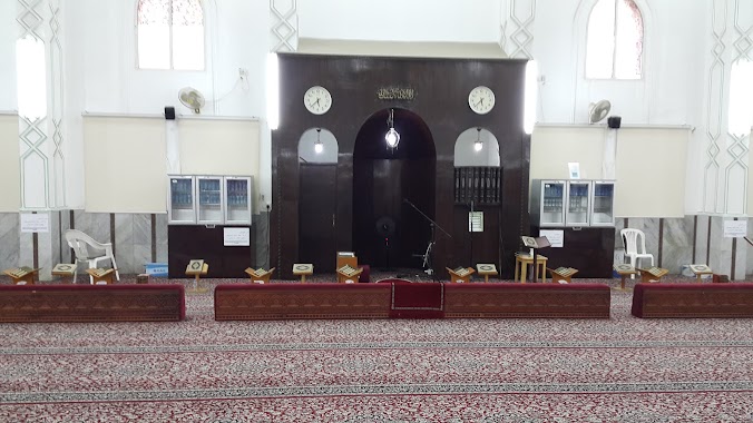
Mosque nearby عمران بن حصين
Coronavirus disease (COVID-19) Situation
confirmed cases
841469
deaths
9646
Saudi Arabia
Mosque nearby عمران بن حصين
عمران بن حصين
Dammam Saudi Arabia
contacts phone
:
+966
Latitude:
26.4172341
, Longitude:
50.0722235
read more
nearest Mosque
194 m
مسجد أويس القرني
6845 المبرز، القادسية، الدمام 32247
Mosque
read more
239 m
Sufyan bin Uyaynah mosque
6630 15 ب, 3984, Dammam
Mosque
read more
359 m
Mosque Disclaimers
الخماسين, Dammam
Mosque
read more
412 m
Alri'an Mosque
Dammam
Mosque
read more
469 m
Mosque of Imam Abu Hanifa
7008 Al Qawaiyyah, Dammam
Mosque
read more
514 m
Al Hidayah Mosque
Dammam
Mosque
read more
645 m
جامع أنس بن مالك
6989 18 ج، غرناطة، الدمام 32245
Mosque
read more
647 m
جامع السيف
4338 Ziyad Ibn Al Harith Street, Dammam
Mosque
read more
653 m
جامع أنس بن مالك رضي الله عنه
6989 18 ج، غرناطة، الدمام 32245
Mosque
read more
702 m
جامع ميثة العتيبي
Dammam
Mosque
read more
707 m
جامع مثيه بنت العتيبي
Dammam
Mosque
read more
749 m
جامع العيسى
Dammam
Mosque
read more
756 m
مسجد عسكر أبو زهير الهاجري
8361 عامر بن ربيعة, Dammam
Mosque
read more
768 m
Al Yarmook Mosque
Ibn Majah Street, Dammam
Mosque
read more
849 m
Utbah Ibn Ghazwan Mosque
Dammam
Mosque
read more
898 m
Imam Al Bukhari Mosque
Ghirnatah
Mosque
read more
903 m
مسجد نعيم بن مسعود
7617 7 ا، القادسية، الدمام 32247
Mosque
read more
913 m
مسجد المزيد
Dammam
Mosque
read more
949 m
هارون الرشيد
Dammam
Mosque
read more
950 m
Haroun Al Rasheed Mosque
Ghirnatah
Mosque
read more
963 m
مسجد شرحبيل بن حسنه
8027 مالك بن جبير, Dammam
Mosque
read more
967 m
مسجد العسكر
8027 مالك بن جبير, 2821, Dammam
Mosque
read more
992 m
مسجد Masjid
7763 Prince Nayef Bin Abdulaziz Road, 4081, Dammam
Mosque
read more
992 m
Mosque
7763 Prince Nayef Bin Abdulaziz Road, 4081, Dammam
Mosque
read more
1000 m
مسجد القريعان
Dammam
Mosque
read more
📑
all categories
Accounting
Administrative area level 1
Airport
Amusement park
Aquarium
Art gallery
Atm
Bakery
Bank
Bar
Beauty salon
Bicycle store
Book store
Bowling alley
Bus station
Cafe
Campground
Car dealer
Car rental
Car repair
Car wash
Casino
Cemetery
Church
City hall
Clothing store
Colloquial area
Convenience store
Country
Courthouse
Dentist
Department store
Doctor
Electrician
Electronics store
Embassy
Finance
Fire station
Florist
Food
Funeral home
Furniture store
Gas station
General contractor
Grocery or supermarket
Gym
Hair care
Hardware store
Health
Hindu Temple
Home goods store
Hospital
Insurance agency
Intersection
Jewelry store
Laundry
Lawyer
Library
Light rail station
Liquor store
Local government office
Locality
Locksmith
Lodging
Meal delivery
Meal takeaway
Mosque
Movie rental
Movie theater
Moving company
Museum
Natural feature
Neighborhood
Night club
Painter
Park
Parking
Pet store
Pharmacy
Physiotherapist
Place of worship
Plumber
Point of interest
Police
Political
Post office
Premise
Real estate agency
Restaurant
Roofing contractor
Route
Rv park, camping
School
Shoe store
Shopping mall
Spa
Stadium
Storage
Store
Sublocality
Subpremise
Subway station
Supermarket
Taxi stand
Train station
Transit station
Travel agency
University
Veterinary care
Zoo
sublocality level 1
↑