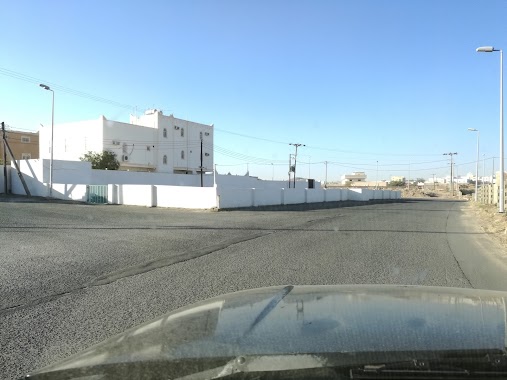
Mosque nearby مسجد ابن دواس
Saudi Arabia
Mosque nearby مسجد ابن دواس
مسجد ابن دواس
Khamis Mushait Saudi Arabia
contacts phone
:
+966
Latitude:
18.2782143
, Longitude:
42.7547017
read more
nearest Mosque
207 m
جامع هادي بن دواس
Khamis Mushait
Mosque
read more
299 m
مسجد الوالدين
Khamis Mushait
Mosque
read more
429 m
مسجد ابن زحيفة
Khamis Mushait
Mosque
read more
842 m
مسجد بلال بن رباح
4460, Khamis Mushait
Mosque
read more
1.007 km
مسجد حي ذهبان
6756, Khamis Mushait
Mosque
read more
1.126 km
جامع ابن باز - حي شكر
Al Biqa, Khamis Mushait
Mosque
read more
1.166 km
مسجد أبودجانة
Khamis Mushait
Mosque
read more
1.169 km
مسجد أبو دجانة
مخطط بن مشيط، خميس مشيط
Mosque
read more
1.2 km
مسجد الإمام الشافعي
النسيم، خميس مشيط
Mosque
read more
1.26 km
مسجد ابن زحيفة
حي ذهبان، خميس مشيط
Mosque
read more
1.302 km
مسجد الفتح حي شكر
Susah, Khamis Mushait
Mosque
read more
1.304 km
دار حفصة رضي الله عنها
حي النسيم، خميس مشيط
Mosque
read more
1.304 km
Mosque - Naseem neighborhood
Khamis Mushait
Mosque
read more
1.332 km
مسجد عمر بن الخطاب
8502, Khamis Mushait
Mosque
read more
1.363 km
مسجد
مخطط بن مشيط، خميس مشيط
Mosque
read more
1.389 km
مسجد
حي النسيم، خميس مشيط
Mosque
read more
1.394 km
مسجد حسين بن سعيد بن حصوصه رحمه الله
النسيم،, Khamis Mushait
Mosque
read more
1.409 km
Bosaily Mosque
8672, Khamis Mushait
Mosque
read more
1.435 km
مسجد آل مريط
Khamis Mushait
Mosque
read more
1.437 km
جامع البصيلي
طريق الرياض، داخل الحي الشكر، خميس مشيط
Mosque
read more
1.48 km
جامع ابن مسلط بحي شكر
8207, Khamis Mushait
Mosque
read more
1.502 km
Ebad Al Rahman Mosque
8854, Khamis Mushait
Mosque
read more
1.511 km
Eid prayer neighborhood Dhahban
7214, Khamis Mushait
Mosque
read more
1.516 km
جامع الريان
Khamis Mushait
Mosque
read more
1.52 km
مسجد ابو بكر الصديق
3281, Khamis Mushait
Mosque
read more
📑
all categories
Accounting
Administrative area level 1
Airport
Amusement park
Aquarium
Art gallery
Atm
Bakery
Bank
Bar
Beauty salon
Bicycle store
Book store
Bowling alley
Bus station
Cafe
Campground
Car dealer
Car rental
Car repair
Car wash
Casino
Cemetery
Church
City hall
Clothing store
Colloquial area
Convenience store
Country
Courthouse
Dentist
Department store
Doctor
Electrician
Electronics store
Embassy
Finance
Fire station
Florist
Food
Funeral home
Furniture store
Gas station
General contractor
Grocery or supermarket
Gym
Hair care
Hardware store
Health
Hindu Temple
Home goods store
Hospital
Insurance agency
Intersection
Jewelry store
Laundry
Lawyer
Library
Light rail station
Liquor store
Local government office
Locality
Locksmith
Lodging
Meal delivery
Meal takeaway
Mosque
Movie rental
Movie theater
Moving company
Museum
Natural feature
Neighborhood
Night club
Painter
Park
Parking
Pet store
Pharmacy
Physiotherapist
Place of worship
Plumber
Point of interest
Police
Political
Post office
Premise
Real estate agency
Restaurant
Roofing contractor
Route
Rv park, camping
School
Shoe store
Shopping mall
Spa
Stadium
Storage
Store
Sublocality
Subpremise
Subway station
Supermarket
Taxi stand
Train station
Transit station
Travel agency
University
Veterinary care
Zoo
sublocality level 1
↑