Mosque nearby مسجد
Saudi Arabia
Mosque nearby مسجد
مسجد
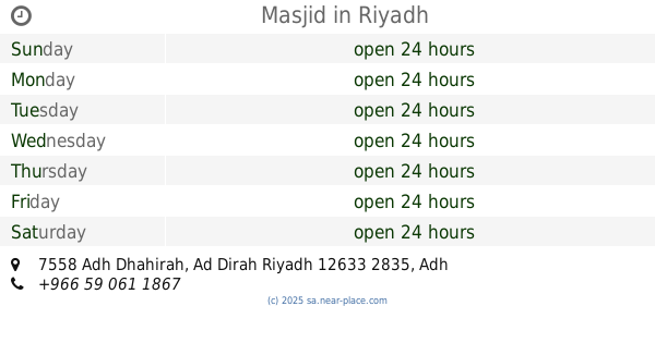
الديرة،، Ad Dirah, Riyadh 12633, Saudi Arabia
contacts phone
:
+966
Latitude:
24.6376573
, Longitude:
46.7168243
larger map & directions
read more
nearest Mosque
251 m
Batha Main Masjid/Mosque
Al Batha, Riyadh
Mosque
read more
263 m
مسجد
Dirah
Mosque
read more
276 m
مسجد
أبي أيوب الأنصاري، حي ثليم، الرياض
Mosque
read more
303 m
Al-Marqab Central Mosque
Al Ras Street, Riyadh
Mosque
read more
331 m
Al-Futah Central Mosque
3211 Damrah Ibn Al Hussain, Riyadh
Mosque
read more
383 m
Grand Mosque
Al Imam Abdul Rahman Ibn Faisal, Riyadh
Mosque
read more
417 m
مسجد مركز جمال
العمل،، الرياض
Mosque
read more
454 m
Hawtah Khalid Algonoby
Riyadh
Mosque
read more
485 m
مسجد سوق المرقب
2596 عمرو بن مسعود، المرقب الرياض 12645
Mosque
read more
491 m
جامع النجيز
Riyadh
Mosque
read more
512 m
Batha Central Mosque
Riyadh
Mosque
read more
532 m
Masjid-e-Ayesha
2730 المارديني, Riyadh
Mosque
read more
546 m
مسجد الشعبة بحي المرقب
Al Marqab,، الرياض
Mosque
read more
625 m
جامع
6887 سفيان بن المهلب, Riyadh
Mosque
read more
625 m
مسجد البديع
القاع البارد, Riyadh
Mosque
read more
631 m
مسجد الامير منصور
الديرة،, Riyadh
Mosque
read more
646 m
مسجد
Al Batha, Riyadh
Mosque
read more
655 m
Masjid
7558 Adh Dhahirah, Ad Dirah Riyadh 12633 2835 Adh Dhahirah, Riyadh
Mosque
read more
670 m
مصلى
7539 البطحاء، العمل الرياض 12643
Mosque
read more
674 m
Juma Masjid
Al Rail Street, Riyadh
Mosque
read more
679 m
Al-Futah Mosque
Yusuf Ibn Al Qasim Yusuf Ibn Al Qasim, Riyadh
Mosque
read more
694 m
Al Rajhi Masjid
2853 ابن عون، ثليم، الرياض 12645
Mosque
read more
697 m
Imam Masjid
3280 Hibatullah Al Khazraji, Riyadh
Mosque
read more
726 m
مصلى القبو
7569 البطحاء، العمل الرياض 12643
Mosque
read more
728 m
مسجد
7569 البطحاء، العمل الرياض 12643
Mosque
read more
📑
all categories
Accounting
Administrative area level 1
Airport
Amusement park
Aquarium
Art gallery
Atm
Bakery
Bank
Bar
Beauty salon
Bicycle store
Book store
Bowling alley
Bus station
Cafe
Campground
Car dealer
Car rental
Car repair
Car wash
Casino
Cemetery
Church
City hall
Clothing store
Colloquial area
Convenience store
Country
Courthouse
Dentist
Department store
Doctor
Electrician
Electronics store
Embassy
Finance
Fire station
Florist
Food
Funeral home
Furniture store
Gas station
General contractor
Grocery or supermarket
Gym
Hair care
Hardware store
Health
Hindu Temple
Home goods store
Hospital
Insurance agency
Intersection
Jewelry store
Laundry
Lawyer
Library
Light rail station
Liquor store
Local government office
Locality
Locksmith
Lodging
Meal delivery
Meal takeaway
Mosque
Movie rental
Movie theater
Moving company
Museum
Natural feature
Neighborhood
Night club
Painter
Park
Parking
Pet store
Pharmacy
Physiotherapist
Place of worship
Plumber
Point of interest
Police
Political
Post office
Premise
Real estate agency
Restaurant
Roofing contractor
Route
Rv park, camping
School
Shoe store
Shopping mall
Spa
Stadium
Storage
Store
Sublocality
Subpremise
Subway station
Supermarket
Taxi stand
Train station
Transit station
Travel agency
University
Veterinary care
Zoo
sublocality level 1
↑