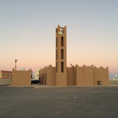
Mosque nearby مسجد هجاجة محمد الحمد
Coronavirus disease (COVID-19) Situation
confirmed cases
841469
deaths
9646
Saudi Arabia
Mosque nearby مسجد هجاجة محمد الحمد
مسجد هجاجة محمد الحمد
At Talal Saudi Arabia
contacts phone
:
+966
Latitude:
28.4420623
, Longitude:
45.9353224
read more
nearest Mosque
3 m
مسجد هجاجة محمد الحمد
3233 البلبل, Hafar Al Batin
Mosque
read more
345 m
مسجد سعد بن معاذ
At Talal
Mosque
read more
355 m
Please Mosque
7700 ادم بن الربيعه, Hafar Al Batin
Mosque
read more
429 m
مسجد الحميدي
3619 السلام، التلال،, 7635, Hafar Al Batin
Mosque
read more
474 m
مسجد
التلال،, Hafar Al Batin
Mosque
read more
546 m
مسجد مخيلف بن شريان العنزي
At Talal
Mosque
read more
723 m
Al Rajhi Grand Mosque
3819, Hafar Al Batin
Mosque
read more
816 m
مسجد الإمام مالك بن أنس
At Talal
Mosque
read more
946 m
مسجد سعد مسعد القهيدي
Hafar Al Batin
Mosque
read more
991 m
مسجد عبدالله القعقاع
At Talal
Mosque
read more
1.124 km
جامع فايز الظفيري
3470, Hafar Al Batin
Mosque
read more
1.162 km
Mosque
4320 Harun Al Rasheed, Hafar Al Batin
Mosque
read more
1.349 km
مسجد جامع
At Talal
Mosque
read more
1.365 km
Mosque
At Talal
Mosque
read more
1.403 km
مسجد عبدالله الأنصاري
Al Aziziyah
Mosque
read more
1.411 km
المسجد القطري
At Talal
Mosque
read more
1.544 km
مسجد أبو سعيد الخدري
At Talal
Mosque
read more
1.58 km
مسجد عبدالله بن زيد
Al Aziziyah
Mosque
read more
1.597 km
مسجد عبدالله بن ثعلبه
Al Aziziyah
Mosque
read more
1.644 km
مسجد إمام الدعوة
2825-2883 هارون الرشيد، العزيزية، حفر الباطن
Mosque
read more
1.74 km
مسجد
الربوة،, Hafar Al Batin
Mosque
read more
1.852 km
جامع جوزاء المعيوف
Al Aziziyah
Mosque
read more
1.876 km
مسجد ضحوي المسباح
4353، النهضة، 6972, Hafar Al Batin
Mosque
read more
1.877 km
Juza Mayouf
2534, Hafar Al Batin
Mosque
read more
1.891 km
مسجد عبدالله بن مالك
Hafar Al Batin
Mosque
read more
📑
all categories
Accounting
Administrative area level 1
Airport
Amusement park
Aquarium
Art gallery
Atm
Bakery
Bank
Bar
Beauty salon
Bicycle store
Book store
Bowling alley
Bus station
Cafe
Campground
Car dealer
Car rental
Car repair
Car wash
Casino
Cemetery
Church
City hall
Clothing store
Colloquial area
Convenience store
Country
Courthouse
Dentist
Department store
Doctor
Electrician
Electronics store
Embassy
Finance
Fire station
Florist
Food
Funeral home
Furniture store
Gas station
General contractor
Grocery or supermarket
Gym
Hair care
Hardware store
Health
Hindu Temple
Home goods store
Hospital
Insurance agency
Intersection
Jewelry store
Laundry
Lawyer
Library
Light rail station
Liquor store
Local government office
Locality
Locksmith
Lodging
Meal delivery
Meal takeaway
Mosque
Movie rental
Movie theater
Moving company
Museum
Natural feature
Neighborhood
Night club
Painter
Park
Parking
Pet store
Pharmacy
Physiotherapist
Place of worship
Plumber
Point of interest
Police
Political
Post office
Premise
Real estate agency
Restaurant
Roofing contractor
Route
Rv park, camping
School
Shoe store
Shopping mall
Spa
Stadium
Storage
Store
Sublocality
Subpremise
Subway station
Supermarket
Taxi stand
Train station
Transit station
Travel agency
University
Veterinary care
Zoo
sublocality level 1
↑