Night club nearby Naif’s Isterahah
Coronavirus disease (COVID-19) Situation
confirmed cases
841469
deaths
9646
Saudi Arabia
Night club nearby Naif’s Isterahah
Naif’s Isterahah
Ad Diriyah 13736, Saudi Arabia
contacts phone
:
+966
Latitude:
24.7460101
, Longitude:
46.5034422
larger map & directions
read more
nearest Night club
3 m
استراحة ابوهشهش
Ad Diriyah
Night club
read more
1.545 km
الاوس 2
Ad Diriyah
Night club
read more
2.005 km
أبو روز
الدرعية
Night club
read more
2.803 km
استراحة دلال العثمان
Ad Diriyah
Night club
read more
2.955 km
استراحة الشباب
Ad Diriyah
Night club
read more
6.076 km
العمارية الاخيرة
Unnamed Road
Night club
read more
6.702 km
منتجع الريف
Unnamed Road
Night club
read more
9.433 km
استراحة العُمري
Unnamed Road, Riyadh
Night club
read more
9.623 km
كارتينق حطين
Prince Saud Bin Mohammed Bin Muqrin Road, Riyadh
Night club
read more
10.598 km
شاليهات الجوري / المهديه
Unnamed Road, Riyadh
Night club
read more
12.957 km
Q Lounge
Al Qirawan, Riyadh
Night club
read more
12.963 km
OTA_Faisal
Unnamed Road, Riyadh
Night club
read more
13.349 km
M3 Lounge 🏡
Riyadh
Night club
read more
14.234 km
شباب القيروان
Riyadh
Night club
read more
14.907 km
مخيم ابن ضيدان ( مسدر )
2153, 8298, Riyadh
Night club
read more
15.084 km
الديوانية الزعفرانية🌺🌞
Unnamed Road, Riyadh
Night club
read more
15.589 km
Alestraha
Unnamed Road, Riyadh
Night club
read more
15.609 km
Cello Lounge
Riyadh
Night club
read more
15.618 km
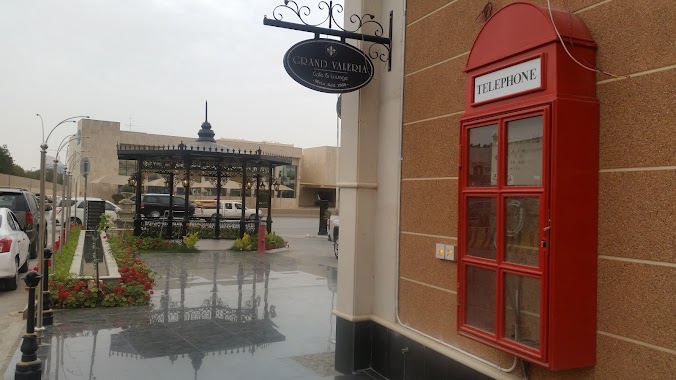
Grand Valeria Lounge
Takhassusi Street, Riyadh
Night club
read more
15.711 km
المقر
Riyadh
Night club
read more
15.832 km
RABE Fdt 45
Abi As Saadat Al Hammudi, 7273-7443, Riyadh
Night club
read more
15.902 km
شاليهات لافاييت Lafayette
Riyadh
Night club
read more
16.456 km
Dxn Distibutor Al Wahah
King Abdullah Branch Road، الرياض
Night club
read more
16.539 km
Majlis Binbilal
Riyadh
Night club
read more
16.568 km
Majlis Binbial
Sajir Ar Rafdi, Riyadh
Night club
read more
📑
all categories
Accounting
Administrative area level 1
Airport
Amusement park
Aquarium
Art gallery
Atm
Bakery
Bank
Bar
Beauty salon
Bicycle store
Book store
Bowling alley
Bus station
Cafe
Campground
Car dealer
Car rental
Car repair
Car wash
Casino
Cemetery
Church
City hall
Clothing store
Colloquial area
Convenience store
Country
Courthouse
Dentist
Department store
Doctor
Electrician
Electronics store
Embassy
Finance
Fire station
Florist
Food
Funeral home
Furniture store
Gas station
General contractor
Grocery or supermarket
Gym
Hair care
Hardware store
Health
Hindu Temple
Home goods store
Hospital
Insurance agency
Intersection
Jewelry store
Laundry
Lawyer
Library
Light rail station
Liquor store
Local government office
Locality
Locksmith
Lodging
Meal delivery
Meal takeaway
Mosque
Movie rental
Movie theater
Moving company
Museum
Natural feature
Neighborhood
Night club
Painter
Park
Parking
Pet store
Pharmacy
Physiotherapist
Place of worship
Plumber
Point of interest
Police
Political
Post office
Premise
Real estate agency
Restaurant
Roofing contractor
Route
Rv park, camping
School
Shoe store
Shopping mall
Spa
Stadium
Storage
Store
Sublocality
Subpremise
Subway station
Supermarket
Taxi stand
Train station
Transit station
Travel agency
University
Veterinary care
Zoo
sublocality level 1
↑