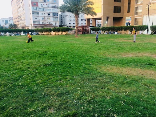
Park nearby Faisal Sports Park
Coronavirus disease (COVID-19) Situation
confirmed cases
841469
deaths
9646
Saudi Arabia
Park nearby Faisal Sports Park
Faisal Sports Park
Al Hamarani, Jeddah Saudi Arabia
contacts phone
:
+966
Latitude:
21.4648697
, Longitude:
39.192236
read more
nearest Park
350 m
حديقة اميرة العامة
Rashid Al Ansari, Jeddah
Park
read more
350 m
حديقة اميرة طرابسلي العامة
Rashid Al Ansari, Jeddah
Park
read more
872 m
الحديقه الذكية
Jeddah
Park
read more
2.297 km
Park
4607 Abbad Al Attki, Jeddah
Park
read more
2.469 km
برحة طارق بن عفيف
Al Mawared Alleyway, Jeddah
Park
read more
2.996 km
حديقة الشعراء
5048 Al Matar, حي البغدادية الشرقية،, Jeddah
Park
read more
3.127 km
Reem garden
6738 Madain Al Fahd, حي النزلة الشرقية, Jeddah
Park
read more
3.251 km
Jaffali Park
Al Madinah Al Munawarah Road, Jeddah
Park
read more
3.902 km
Rock Garden
Mud Said Al Matbuli, Jeddah
Park
read more
4.023 km
حديقة الرحمة
Jeddah
Park
read more
4.375 km
شاطئ عام بجده
Jeddah
Park
read more
4.625 km
Public garden
Al Jamiah Walkway, Jeddah
Park
read more
4.627 km
Green Triangle Park
Green Triangle Park, Near Ali Reza Tower, Madinah Al Munawwarah Road, Al-, Jeddah
Park
read more
4.629 km
Fayhaa Park
Jeddah
Park
read more
4.707 km
حديقة عبدالله خان العامه
Jeddah
Park
read more
4.755 km
Public Park
Al Jamiah Walkway, Jeddah
Park
read more
5.433 km
Entertainment Park حديقه ترفيحي
Jeddah
Park
read more
5.439 km
منتزه جالكسي
Jeddah
Park
read more
5.605 km
حديقةالمركز الطبي الدولي Internatiomal Medical Center Garden
Jeddah
Park
read more
5.628 km
حديقة
4349 الصفات الحميده، حي الرويس جدة 23214
Park
read more
5.677 km
حديقة
Jeddah
Park
read more
5.822 km
Park
Al Istad Ar Riyadi Al Istad Ar Riyadi, Jeddah
Park
read more
6.441 km
حديقة
Al-Hamra'a
Park
read more
6.496 km
الجزيرة العربية
7003 Mahmud Farsi Al Hamra District Jeddah 23212 2867 Mahmud Farsi, Jeddah
Park
read more
6.684 km
Silent Park
Dhu An Nurayn, Jeddah
Park
read more
📑
all categories
Accounting
Administrative area level 1
Airport
Amusement park
Aquarium
Art gallery
Atm
Bakery
Bank
Bar
Beauty salon
Bicycle store
Book store
Bowling alley
Bus station
Cafe
Campground
Car dealer
Car rental
Car repair
Car wash
Casino
Cemetery
Church
City hall
Clothing store
Colloquial area
Convenience store
Country
Courthouse
Dentist
Department store
Doctor
Electrician
Electronics store
Embassy
Finance
Fire station
Florist
Food
Funeral home
Furniture store
Gas station
General contractor
Grocery or supermarket
Gym
Hair care
Hardware store
Health
Hindu Temple
Home goods store
Hospital
Insurance agency
Intersection
Jewelry store
Laundry
Lawyer
Library
Light rail station
Liquor store
Local government office
Locality
Locksmith
Lodging
Meal delivery
Meal takeaway
Mosque
Movie rental
Movie theater
Moving company
Museum
Natural feature
Neighborhood
Night club
Painter
Park
Parking
Pet store
Pharmacy
Physiotherapist
Place of worship
Plumber
Point of interest
Police
Political
Post office
Premise
Real estate agency
Restaurant
Roofing contractor
Route
Rv park, camping
School
Shoe store
Shopping mall
Spa
Stadium
Storage
Store
Sublocality
Subpremise
Subway station
Supermarket
Taxi stand
Train station
Transit station
Travel agency
University
Veterinary care
Zoo
sublocality level 1
↑