Park nearby Salamiyah Street Playground
Coronavirus disease (COVID-19) Situation
confirmed cases
841469
deaths
9646
Saudi Arabia
Park nearby Salamiyah Street Playground
Salamiyah Street Playground
3036, Dhahran Saudi Arabia
contacts phone
:
+966
Latitude:
26.292318
, Longitude:
50.1027551
read more
nearest Park
792 m
Dhahran Hills Park
Quirsh Street, Dhahran
Park
read more
815 m
Nariya Lane Park
8215, Dhahran
Park
read more
922 m
Rainbow Road Park
Dhahran
Park
read more
1.062 km
Riyal Road Park
Dhahran
Park
read more
2.701 km
Duck Pond
Gharb Al Dhahran
Park
read more
2.983 km
King's Park
Dhahran
Park
read more
3.074 km
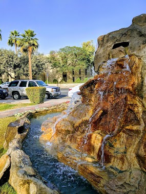
Cave Fountain
King's Road, Dhahran
Park
read more
3.381 km
Women's Park
Dhahran
Park
read more
3.481 km
Park
Dhahran
Park
read more
3.619 km
5th Street Playground
Saudi Aramco
Park
read more
4.271 km
The Oasis
Unnamed Road King Fahd University of Petroleum and Minerals, Dhahran
Park
read more
4.653 km
Farooq Park
King Fahd University of Petroleum and Minerals, Dhahran
Park
read more
5.521 km
Lake Fountain
Dammam
Park
read more
5.786 km
Lulu Park
Dana Al Shamaliah
Park
read more
5.791 km
حديقة اللؤلؤ
Dhahran
Park
read more
6.043 km
Garden
Ash Shulah
Park
read more
6.106 km
Yaqoot Park
4291, Dhahran
Park
read more
6.11 km
Al Ful Park
Doha Al Janubiyah
Park
read more
6.205 km
Cloves Park
Al Jamiah
Park
read more
6.285 km
Al Jamiah Walking Trail
Al Jamiah
Park
read more
6.29 km
حديقة الإخاء
شارع الإخاء، حي الدوحة الجنوبية، الظهران
Park
read more
6.302 km
Aljamiah District Park
Al Tabari Street, Dhahran
Park
read more
6.32 km
Dana Park
Prince Sultan Road, Dhahran
Park
read more
6.327 km
منتزه الدانه الشمالية
Prince Sultan Road Prince Sultan Road, Dhahran
Park
read more
6.417 km
Sawsan Park
Al Jamiah
Park
read more
📑
all categories
Accounting
Administrative area level 1
Airport
Amusement park
Aquarium
Art gallery
Atm
Bakery
Bank
Bar
Beauty salon
Bicycle store
Book store
Bowling alley
Bus station
Cafe
Campground
Car dealer
Car rental
Car repair
Car wash
Casino
Cemetery
Church
City hall
Clothing store
Colloquial area
Convenience store
Country
Courthouse
Dentist
Department store
Doctor
Electrician
Electronics store
Embassy
Finance
Fire station
Florist
Food
Funeral home
Furniture store
Gas station
General contractor
Grocery or supermarket
Gym
Hair care
Hardware store
Health
Hindu Temple
Home goods store
Hospital
Insurance agency
Intersection
Jewelry store
Laundry
Lawyer
Library
Light rail station
Liquor store
Local government office
Locality
Locksmith
Lodging
Meal delivery
Meal takeaway
Mosque
Movie rental
Movie theater
Moving company
Museum
Natural feature
Neighborhood
Night club
Painter
Park
Parking
Pet store
Pharmacy
Physiotherapist
Place of worship
Plumber
Point of interest
Police
Political
Post office
Premise
Real estate agency
Restaurant
Roofing contractor
Route
Rv park, camping
School
Shoe store
Shopping mall
Spa
Stadium
Storage
Store
Sublocality
Subpremise
Subway station
Supermarket
Taxi stand
Train station
Transit station
Travel agency
University
Veterinary care
Zoo
sublocality level 1
↑