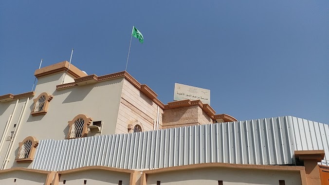
School nearby مدرسة بودى
Coronavirus disease (COVID-19) Situation
confirmed cases
841469
deaths
9646
Saudi Arabia
School nearby مدرسة بودى
مدرسة بودى
3734, Jazan 82722 7347, Arabia Saudyjska
contacts phone
:
+966
Latitude:
16.890764
, Longitude:
42.5734585
larger map & directions
read more
nearest School
78 m
مدارس منارات التفوق العالمية
7341, Jazan
School
read more
124 m
مدرسة براعم النور الأهلية
3869, Jazan
School
read more
264 m
Gym
Jazan
School
read more
345 m
عقبه بن نافع
Jazan
School
read more
345 m
عقبة بن نافع
Jazan
School
read more
346 m
الابتدائية التاسعة بجازان
Jazan
School
read more
358 m
معهد النور
Jazan
School
read more
358 m
Medium fifth and sixth secondary
Jazan
School
read more
540 m
معهد الوحيين
Jazan
School
read more
544 m
معهد الوحيين للقرآن
7894, Jazan
School
read more
671 m
School Saudi Arabia
Jazan
School
read more
773 m
Security and Safety Management
3405, Jazan
School
read more
793 m
Prince Mohammed bin Nasser Center for the gifted
3405, Jazan
School
read more
802 m
إدارة ومركز الموهوبين
3409, Jazan
School
read more
819 m
Jizan Science School
3507, Jazan
School
read more
836 m
International Jazan Science School, K.S.A
3971, Jazan
School
read more
843 m
مدرسة سما جيزان
35 B Street, Jazan
School
read more
943 m
الثانويه الثالثه بجازان
Airport Road, Jazan
School
read more
943 m
الثانوية الثالثة للبنات بجازان
Airport Road, Jazan
School
read more
1.08 km
مسجد الفضل
Airport, Jazan
School
read more
1.17 km
Al Amal Institute for the Deaf and Dumb
Jazan
School
read more
1.197 km
معهد الوحيين
Prince Faisal Bin Fahd Street, المطار, Jazan
School
read more
1.2 km
Al Marifa School
شارع 12 د،, Jazan
School
read more
1.214 km
Knowledge National Schools
Jazan
School
read more
1.224 km
IK Jazan schools
Jazan
School
read more
📑
all categories
Accounting
Administrative area level 1
Airport
Amusement park
Aquarium
Art gallery
Atm
Bakery
Bank
Bar
Beauty salon
Bicycle store
Book store
Bowling alley
Bus station
Cafe
Campground
Car dealer
Car rental
Car repair
Car wash
Casino
Cemetery
Church
City hall
Clothing store
Colloquial area
Convenience store
Country
Courthouse
Dentist
Department store
Doctor
Electrician
Electronics store
Embassy
Finance
Fire station
Florist
Food
Funeral home
Furniture store
Gas station
General contractor
Grocery or supermarket
Gym
Hair care
Hardware store
Health
Hindu Temple
Home goods store
Hospital
Insurance agency
Intersection
Jewelry store
Laundry
Lawyer
Library
Light rail station
Liquor store
Local government office
Locality
Locksmith
Lodging
Meal delivery
Meal takeaway
Mosque
Movie rental
Movie theater
Moving company
Museum
Natural feature
Neighborhood
Night club
Painter
Park
Parking
Pet store
Pharmacy
Physiotherapist
Place of worship
Plumber
Point of interest
Police
Political
Post office
Premise
Real estate agency
Restaurant
Roofing contractor
Route
Rv park, camping
School
Shoe store
Shopping mall
Spa
Stadium
Storage
Store
Sublocality
Subpremise
Subway station
Supermarket
Taxi stand
Train station
Transit station
Travel agency
University
Veterinary care
Zoo
sublocality level 1
↑