School nearby مشروع المؤنسية
Saudi Arabia
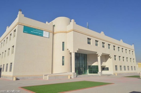
School nearby مشروع المؤنسية
مشروع المؤنسية
3890, 6970, Riyadh Saudi Arabien
contacts phone
:
+966
Latitude:
24.8163792
, Longitude:
46.7682088
read more
nearest School
مدرسة الأمير أبو عبد الرحمٰن
3890, Riyadh
School
read more
50 m
مجمع مدارس بنات
Riyadh
School
read more
54 m
TBC S-55
No. 93, Riyadh
School
read more
417 m
مدرسه المونسيه
Al Sareh, Riyadh
School
read more
451 m
ثانوية ابن النفيس
Al Sareh, Riyadh
School
read more
479 m
مدرسة ابن النفيس الثانوية
الرياض
School
read more
544 m
مدرسة الأمير أبو عبد الرحمن جوباس
3405 Dammam Branch Road, Riyadh
School
read more
591 m
مدارس منارات قرطبة الاهلية
Al Qalam, Riyadh
School
read more
634 m
مركز آراء الرواد للرعاية النهارية
Riyadh
School
read more
660 m
Nafi Bin Jubair Elementary School
Sumayra, Riyadh
School
read more
669 m
مدرسة مافع
Riyadh
School
read more
670 m
مدرسة بنين أبتدائية
محمد البرقي،، الرياض
School
read more
747 m
تحفيظ الرياحين
6533 Al Sahaba Road, Riyadh
School
read more
758 m
مدرسة حاملات المسك النسائية لتحفيظ القرآن الكريم
6538, Riyadh
School
read more
767 m
Alrayaheen Program For Qoran Memorizing - Munsiyah Branch
6560, Riyadh
School
read more
783 m
أجيال الحضارة الاهلية بالمؤنسيه
Mohammed Al Barqi, Al Munsiyah، الرياض
School
read more
792 m
مركز العناية بالمسلمين الجدد- فرع شمال الرياض
Dammam Branch Road, Riyadh
School
read more
881 m
مدرسة حاملات المسك النسائية
طريق الصحابة،, Riyadh
School
read more
894 m
مدرسة مناهل الفرقان
3088, Riyadh
School
read more
942 m
مسرح مدارس التعلم
رقم 235، المونسية،, Riyadh
School
read more
1.002 km
مدارس التعلم النموذجية الأهلية بنات
المونسية, Riyadh
School
read more
1.066 km
مدرسة جوجو
Riyadh
School
read more
1.07 km
المدرسة الابتدائية ٣٣٦ بالمونسية
Riyadh
School
read more
1.088 km
مدرسة البنات بالمونسية
Riyadh
School
read more
1.09 km
المتوسطة 243 للبنات
24°49'11.2"N 46°46'42.9"E
School
read more
📑
all categories
Accounting
Administrative area level 1
Airport
Amusement park
Aquarium
Art gallery
Atm
Bakery
Bank
Bar
Beauty salon
Bicycle store
Book store
Bowling alley
Bus station
Cafe
Campground
Car dealer
Car rental
Car repair
Car wash
Casino
Cemetery
Church
City hall
Clothing store
Colloquial area
Convenience store
Country
Courthouse
Dentist
Department store
Doctor
Electrician
Electronics store
Embassy
Finance
Fire station
Florist
Food
Funeral home
Furniture store
Gas station
General contractor
Grocery or supermarket
Gym
Hair care
Hardware store
Health
Hindu Temple
Home goods store
Hospital
Insurance agency
Intersection
Jewelry store
Laundry
Lawyer
Library
Light rail station
Liquor store
Local government office
Locality
Locksmith
Lodging
Meal delivery
Meal takeaway
Mosque
Movie rental
Movie theater
Moving company
Museum
Natural feature
Neighborhood
Night club
Painter
Park
Parking
Pet store
Pharmacy
Physiotherapist
Place of worship
Plumber
Point of interest
Police
Political
Post office
Premise
Real estate agency
Restaurant
Roofing contractor
Route
Rv park, camping
School
Shoe store
Shopping mall
Spa
Stadium
Storage
Store
Sublocality
Subpremise
Subway station
Supermarket
Taxi stand
Train station
Transit station
Travel agency
University
Veterinary care
Zoo
sublocality level 1
↑