Shopping mall nearby Astro Mall
Coronavirus disease (COVID-19) Situation
confirmed cases
841469
deaths
9646
Saudi Arabia
Shopping mall nearby Astro Mall
Astro Mall
Afrah, Safwa Saudi Arabia
contacts phone
:
+966
Latitude:
26.655149
, Longitude:
49.9568349
read more
nearest Shopping mall
178 m
قصر الحلى
6384, Al Marwah, Safwa
Shopping mall
read more
213 m
Akbar Cycle Store
Unnamed Road, Safwa
Shopping mall
read more
232 m
فلاور بالاس
6176 Al Marwah Safwa 32828
Shopping mall
read more
258 m
حيدر نزار للمجوهرات
Safwa
Shopping mall
read more
276 m
مجوهرات عبدالله المبارك
6168, Al Marwah, Safwa 32828
Shopping mall
read more
611 m
بقالة عبد الله المغلق
Safwa
Shopping mall
read more
1.35 km
مكتبة أصداء النجاح
Safwa
Shopping mall
read more
1.6 km
بقالة الخيرات
شارع البيروني،, Safwa
Shopping mall
read more
2.523 km
Safavi camp
Safwa, Al Khobar
Shopping mall
read more
3.368 km
poultry
Umm As Sahik Street, Al Qatif
Shopping mall
read more
3.435 km
ورده وتذكار
614, Safwa
Shopping mall
read more
3.448 km
وردة وتذكار للهدايا والزهور
المقيطع
Shopping mall
read more
3.913 km
Super Market
الشارع العام، ام الساهك
Shopping mall
read more
4.399 km
مشغل الأثير النسائي
4015 الحزم، صفوى 32714
Shopping mall
read more
4.487 km
Alaghiran Shopping Center 2
Safwa
Shopping mall
read more
5.026 km
لزينة السيارات
صفوى
Shopping mall
read more
5.11 km
Al Hazzam - Mutlaq Al Hajri Trd. Est.
6850, Safwa
Shopping mall
read more
6.801 km
جعفر حسين للسباكة و الكهرباء
6443 Al Imam Ali Ibn Abi Talib Road, 2130, Al Qatif
Shopping mall
read more
7.185 km
Mini Market HE Jubail
Dhahran Jubail Expressway, Dammam
Shopping mall
read more
8.897 km
شركة الثلاجة العالمية طريق ظهران الجبيل
Al Juaima'h
Shopping mall
read more
9.713 km
سوق الاربعاء
3793, Al Qatif
Shopping mall
read more
9.855 km
الحصار للأواني المنزلية
6918, Al Qatif
Shopping mall
read more
9.94 km
مكتبة الامل القديح
3858, Al Qatif
Shopping mall
read more
9.943 km
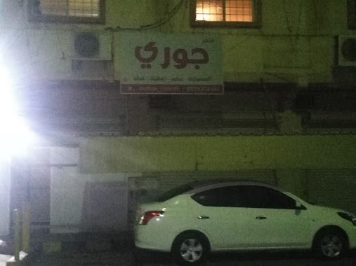
جوري
6879 Al Qudaih، القطيف
Shopping mall
read more
9.956 km
Misk Center
3869, 6850, Al Qatif
Shopping mall
read more
📑
all categories
Accounting
Administrative area level 1
Airport
Amusement park
Aquarium
Art gallery
Atm
Bakery
Bank
Bar
Beauty salon
Bicycle store
Book store
Bowling alley
Bus station
Cafe
Campground
Car dealer
Car rental
Car repair
Car wash
Casino
Cemetery
Church
City hall
Clothing store
Colloquial area
Convenience store
Country
Courthouse
Dentist
Department store
Doctor
Electrician
Electronics store
Embassy
Finance
Fire station
Florist
Food
Funeral home
Furniture store
Gas station
General contractor
Grocery or supermarket
Gym
Hair care
Hardware store
Health
Hindu Temple
Home goods store
Hospital
Insurance agency
Intersection
Jewelry store
Laundry
Lawyer
Library
Light rail station
Liquor store
Local government office
Locality
Locksmith
Lodging
Meal delivery
Meal takeaway
Mosque
Movie rental
Movie theater
Moving company
Museum
Natural feature
Neighborhood
Night club
Painter
Park
Parking
Pet store
Pharmacy
Physiotherapist
Place of worship
Plumber
Point of interest
Police
Political
Post office
Premise
Real estate agency
Restaurant
Roofing contractor
Route
Rv park, camping
School
Shoe store
Shopping mall
Spa
Stadium
Storage
Store
Sublocality
Subpremise
Subway station
Supermarket
Taxi stand
Train station
Transit station
Travel agency
University
Veterinary care
Zoo
sublocality level 1
↑