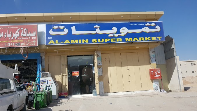
Supermarket nearby ماجد القحطاني للخيام
Coronavirus disease (COVID-19) Situation
confirmed cases
841469
deaths
9646
Saudi Arabia
Supermarket nearby ماجد القحطاني للخيام
ماجد القحطاني للخيام
8670, Al Jenadriyah Road, 13265, Riyadh, SA Saudi Arabia
contacts phone
:
+966 54 029 1632
Latitude:
24.8582942
, Longitude:
46.8490948
larger map & directions
read more
nearest Supermarket
191 m
بقالة سواعد القصيم
الرياض
Supermarket
read more
1.307 km
تموينات خيرات الرمال
Riyadh
Supermarket
read more
1.381 km
أسواق المدثر الصحاري
Riyadh
Supermarket
read more
2.18 km
أسواق ورقة سنابل الخير
الرياض
Supermarket
read more
2.315 km
تموينات الجسور المتينة
Riyadh
Supermarket
read more
2.431 km
مؤسسة تموينات دلال سلطان المطيري
الرياض
Supermarket
read more
2.689 km
أسواق ومخابز هابي فاملي
Riyadh
Supermarket
read more
2.698 km
هابي فاميلي
Riyadh
Supermarket
read more
2.778 km
العيسى للسيارات المستودع
Ar Rakb, Riyadh
Supermarket
read more
3.532 km
Ohud supermarket and bakery
Prince Saud Bin Mohammed Bin Muqrin Road, Ar Rimal، الرياض
Supermarket
read more
3.797 km
Al Waha Supermarket
Riyadh
Supermarket
read more
3.991 km
Super Market flower
Riyadh
Supermarket
read more
4.136 km
Store misslan
3234, 7653, Riyadh
Supermarket
read more
4.268 km
تموينات عرفان جلال
Riyadh
Supermarket
read more
4.352 km
سوبرماركت مضارب الشرق
Riyadh
Supermarket
read more
4.532 km
موسسة اوتادالديارللحديد
Riyadh
Supermarket
read more
4.558 km
السبيعي لتوزيع الاسمنت
7282, Riyadh
Supermarket
read more
4.584 km
معرض تركي حمود للسيارات
Jabal Al Dhubyani, Riyadh
Supermarket
read more
4.658 km
اسواق الصيعري المركزية
الرياض
Supermarket
read more
4.794 km
أسواق العليان المركزية للخضار والفواكه
Riyadh
Supermarket
read more
4.808 km
أسواق
شارع وادي الساحل - حي الرمال، الرياض
Supermarket
read more
5.3 km
Roundabout Awaidhah markets
Omar bin Abdulatif, Riyadh
Supermarket
read more
5.484 km
Farm Superstores 65
Riyadh
Supermarket
read more
5.55 km
بندتي
حي القادسية، الرياض
Supermarket
read more
5.604 km
Sayari markets
8193, Riyadh
Supermarket
read more
📑
all categories
Accounting
Administrative area level 1
Airport
Amusement park
Aquarium
Art gallery
Atm
Bakery
Bank
Bar
Beauty salon
Bicycle store
Book store
Bowling alley
Bus station
Cafe
Campground
Car dealer
Car rental
Car repair
Car wash
Casino
Cemetery
Church
City hall
Clothing store
Colloquial area
Convenience store
Country
Courthouse
Dentist
Department store
Doctor
Electrician
Electronics store
Embassy
Finance
Fire station
Florist
Food
Funeral home
Furniture store
Gas station
General contractor
Grocery or supermarket
Gym
Hair care
Hardware store
Health
Hindu Temple
Home goods store
Hospital
Insurance agency
Intersection
Jewelry store
Laundry
Lawyer
Library
Light rail station
Liquor store
Local government office
Locality
Locksmith
Lodging
Meal delivery
Meal takeaway
Mosque
Movie rental
Movie theater
Moving company
Museum
Natural feature
Neighborhood
Night club
Painter
Park
Parking
Pet store
Pharmacy
Physiotherapist
Place of worship
Plumber
Point of interest
Police
Political
Post office
Premise
Real estate agency
Restaurant
Roofing contractor
Route
Rv park, camping
School
Shoe store
Shopping mall
Spa
Stadium
Storage
Store
Sublocality
Subpremise
Subway station
Supermarket
Taxi stand
Train station
Transit station
Travel agency
University
Veterinary care
Zoo
sublocality level 1
↑