Atm nearby Alawwal Bank ATM
Saudi Arabia
Atm nearby Alawwal Bank ATM
Alawwal Bank ATM
7414, An Najah, 13253, Riyadh, SA Arabia Saudita
contacts phone
:
+966 9200 13323
website:
www.alawwalbank.com
Latitude:
24.8280724
, Longitude:
46.7908425
larger map & directions
read more
nearest Atm
421 m
Alinma ATM
الشيخ جابر الاحمد الصباح, حي المونسية، الرياض
Atm
read more
455 m
SABB
Al Muansiah Lobby, Riyadh
Atm
read more
460 m
صراف الإنماء
Al Balqa, Riyadh
Atm
read more
460 m
مصرف الإنماء
شارع البلقاء، حي المونسة، الرياض
Atm
read more
474 m
صراف ساب
3972, Riyadh
Atm
read more
523 m
صراف بنك الجزيرة
Al Balqa, Riyadh
Atm
read more
569 m
مصرف الإنماء
الرياض
Atm
read more
604 m
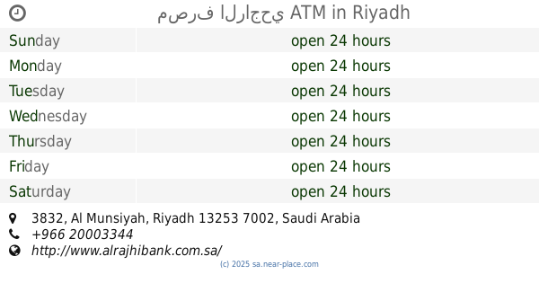
صراف الرجحي
Riyadh
Atm
read more
663 m
مصرف الراجحي ATM
3832, Riyadh
Atm
read more
711 m
Tarik
Unnamed Road, Riyadh
Atm
read more
833 m
SABB
Gethaukm Supermarket TTW (38-172197, Riyadh
Atm
read more
856 m
Alawwal Bank ATM
القياس, Riyadh
Atm
read more
996 m
صراف بنك الاستثمار
الشيخ جابر الاحمد الصباح،, Riyadh
Atm
read more
1.046 km
Alinma ATM
Ali Al Fazari, Riyadh
Atm
read more
1.053 km
الأهلي
شارع على الفزاري ، حي المونسية، الرياض
Atm
read more
1.151 km
صرافة الانماء
Riyadh
Atm
read more
1.178 km
ATM Bank Alaol🏧
6697, Riyadh
Atm
read more
1.187 km
First Bank ATM
6697, Riyadh
Atm
read more
1.382 km
Power Machinery ATM Rajhi
7373 Ashaikh Jaber Alahmed Alsabah, Riyadh
Atm
read more
1.404 km
Alahli ATM
Dammam Branch Road, Riyadh
Atm
read more
1.439 km
NCB ATM
7942 ابي الفتوح الخباز، اليرموك الرياض 13251 2860 Abi Al Futuh La Khabbaz, Riyadh
Atm
read more
1.446 km
SABB
An Nahar, Riyadh
Atm
read more
1.461 km
Alinma ATM
Dammam Branch Road, Riyadh
Atm
read more
1.464 km
صراف بنك البلاد Bank Albilad ATM
Riyadh
Atm
read more
1.487 km
صراف البلاد
الرياض
Atm
read more
📑
all categories
Accounting
Administrative area level 1
Airport
Amusement park
Aquarium
Art gallery
Atm
Bakery
Bank
Bar
Beauty salon
Bicycle store
Book store
Bowling alley
Bus station
Cafe
Campground
Car dealer
Car rental
Car repair
Car wash
Casino
Cemetery
Church
City hall
Clothing store
Colloquial area
Convenience store
Country
Courthouse
Dentist
Department store
Doctor
Electrician
Electronics store
Embassy
Finance
Fire station
Florist
Food
Funeral home
Furniture store
Gas station
General contractor
Grocery or supermarket
Gym
Hair care
Hardware store
Health
Hindu Temple
Home goods store
Hospital
Insurance agency
Intersection
Jewelry store
Laundry
Lawyer
Library
Light rail station
Liquor store
Local government office
Locality
Locksmith
Lodging
Meal delivery
Meal takeaway
Mosque
Movie rental
Movie theater
Moving company
Museum
Natural feature
Neighborhood
Night club
Painter
Park
Parking
Pet store
Pharmacy
Physiotherapist
Place of worship
Plumber
Point of interest
Police
Political
Post office
Premise
Real estate agency
Restaurant
Roofing contractor
Route
Rv park, camping
School
Shoe store
Shopping mall
Spa
Stadium
Storage
Store
Sublocality
Subpremise
Subway station
Supermarket
Taxi stand
Train station
Transit station
Travel agency
University
Veterinary care
Zoo
sublocality level 1
↑