Atm nearby ATM Bank Al Jazira
Saudi Arabia
Atm nearby ATM Bank Al Jazira
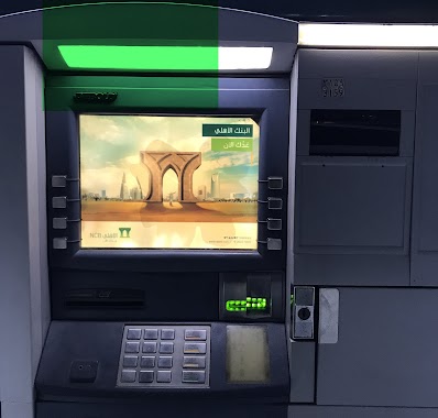
ATM Bank Al Jazira
حي المحجر،، Al Mahjar District, Jeddah 22425 3260, Saudi Arabia
contacts phone
:
+966 800 244 0404
website:
www.baj.com.sa
Latitude:
21.4134329
, Longitude:
39.2072634
larger map & directions
read more
nearest Atm
5 m
ATM Bank SABA
سوق الصواريخ الدولي, Jeddah
Atm
read more
34 m
SAP Exchange
3336, حي المحجر, Jeddah
Atm
read more
80 m
صراف ساب
3336, حي المحجر, Jeddah
Atm
read more
82 m
Fransi ATM (صراف البنك الفرنسي)
Jeddah
Atm
read more
113 m
Arab Bank
Jeddah
Atm
read more
159 m
SABB
Bagedo market alsawareekh (36-93769, Jeddah
Atm
read more
271 m
NCB ATM
haraj market حي المحجر، Jeddah 22425
Atm
read more
295 m
سوق باشماخ
Jeddah
Atm
read more
380 m
صراف العربي
6250, حي المحجر 2894, Jeddah
Atm
read more
505 m
صراف بنك الرياض
حي المحجر، جدة
Atm
read more
804 m
Al Rajhi ATM 🏧
Jeddah
Atm
read more
2.073 km
Tahweel Al Rajhi
reet Number 30, Sinaiyah Jeddah, Jeddah
Atm
read more
2.138 km
صراف البنك الأهلي
حي المحجر، جدة
Atm
read more
2.138 km
National Commercial Bank ATM 🏧
Jeddah
Atm
read more
2.603 km
ATM machine to Sab🏧
9006, حي المحجر،, Jeddah
Atm
read more
2.619 km
SABB
Hedadh Co, Indus'l City, Jeddah
Atm
read more
2.851 km
NCB ATM Al Mahjar
3870 Al Mahjar Petromin District Jeddah 22412 6688 Al Mahjar, Jeddah
Atm
read more
2.995 km
Shaflout Trdg Co LTd
King Faisal Road, Jeddah
Atm
read more
3.018 km
الأهلي
شارع الملك فيصل -المحجر، جدة
Atm
read more
3.627 km
ساب
شارع المحجر، المحجر، جدة
Atm
read more
3.646 km
SABB
King abdulaziz Hospital, Jeddah
Atm
read more
3.677 km
صراف بنك الرياض
جدة
Atm
read more
3.68 km
بنك الرياض
جدة
Atm
read more
3.753 km
صراف البلاد
جدة
Atm
read more
3.758 km
SABB
Sasco Almahjar D/T (36-9831, Jeddah
Atm
read more
📑
all categories
Accounting
Administrative area level 1
Airport
Amusement park
Aquarium
Art gallery
Atm
Bakery
Bank
Bar
Beauty salon
Bicycle store
Book store
Bowling alley
Bus station
Cafe
Campground
Car dealer
Car rental
Car repair
Car wash
Casino
Cemetery
Church
City hall
Clothing store
Colloquial area
Convenience store
Country
Courthouse
Dentist
Department store
Doctor
Electrician
Electronics store
Embassy
Finance
Fire station
Florist
Food
Funeral home
Furniture store
Gas station
General contractor
Grocery or supermarket
Gym
Hair care
Hardware store
Health
Hindu Temple
Home goods store
Hospital
Insurance agency
Intersection
Jewelry store
Laundry
Lawyer
Library
Light rail station
Liquor store
Local government office
Locality
Locksmith
Lodging
Meal delivery
Meal takeaway
Mosque
Movie rental
Movie theater
Moving company
Museum
Natural feature
Neighborhood
Night club
Painter
Park
Parking
Pet store
Pharmacy
Physiotherapist
Place of worship
Plumber
Point of interest
Police
Political
Post office
Premise
Real estate agency
Restaurant
Roofing contractor
Route
Rv park, camping
School
Shoe store
Shopping mall
Spa
Stadium
Storage
Store
Sublocality
Subpremise
Subway station
Supermarket
Taxi stand
Train station
Transit station
Travel agency
University
Veterinary care
Zoo
sublocality level 1
↑