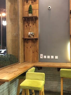
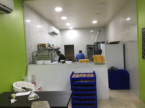
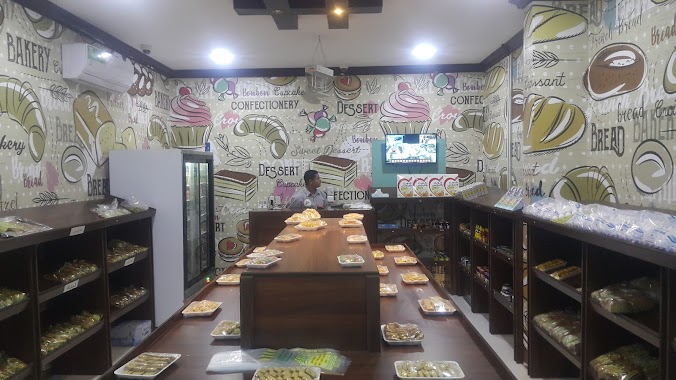
Bakery nearby مخبز العافية
Saudi Arabia
Bakery nearby مخبز العافية
مخبز العافية
2441, شارع القاسم بن خالد, 32626, Tarout, SA Saudi Arabia
contacts phone
:
+966
Latitude:
26.5750252
, Longitude:
50.0259859
larger map & directions
read more
nearest Bakery
480 m
Cake House
طريق أحد، الرضا، القطيف
Bakery
read more
497 m
Al-Eid Bakeries and Sweets
Uhud Road, Al Qatif
Bakery
read more
1.156 km
تنور الشيخ
شارع العلم، الفتح، تاروت
Bakery
read more
1.287 km
مخبز العافية
7307 3 ب, Al Qatif
Bakery
read more
1.312 km
Bake & Take
Al Qatif
Bakery
read more
1.376 km
Sweets & Bakeries Rami
Al Imam Al Hussain Ibn Ali Road, Al Qatif
Bakery
read more
1.636 km
مخبز وحلويات القلعة
Uhud Road, Al Qatif
Bakery
read more
1.653 km
Ragheef Tarot
Al Quds Street, Al Qatif
Bakery
read more
1.73 km
رغيف تاروت
Al Qatif
Bakery
read more
1.738 km
Rageef Tarout Bakery
Uhud Road, Al Qatif
Bakery
read more
1.753 km
Torta bella
Al Qatif
Bakery
read more
1.837 km
Bagels House
7213 Ammar Ibn Yasir Street, 7213, 4127, Al Qatif
Bakery
read more
1.84 km
House Of Donuts
Al Quds Street, Al Qatif
Bakery
read more
1.846 km
مخابز حلويات السلطان
Al Quds Street, Al Qatif
Bakery
read more
2.031 km
مخبز شواخ احمد الفرج
4228, Al Qatif
Bakery
read more
2.052 km
Al-Khamsah Bakery
Al Qatif
Bakery
read more
2.13 km
Delta Modern Bakeries - مخابز دلتا
Uhud Road, Al Qatif
Bakery
read more
2.132 km
Cake Art
Uhud Road, Al Qatif
Bakery
read more
2.161 km
Mazaya Bakery
Uhud Road, Al Qatif
Bakery
read more
2.178 km
مخبز الرجاء العربي
4533 شارع البركة، الفتح، القطيف 32617
Bakery
read more
2.201 km
مخابز حلويات السلطان
1 (B) Street, Al Qatif
Bakery
read more
2.208 km
Harmful bakery
20 (A) Street, Al Qatif
Bakery
read more
2.208 km
Modhar bakery
20 (A) Street, Al Qatif
Bakery
read more
2.221 km
Al-Sultan Bread Bakery
Uhud Road, Al Qatif
Bakery
read more
2.251 km
Mary Bake And Cake ماري بيك اند كيك
7395-7413 Al Quds Street, Al Qatif
Bakery
read more
📑
all categories
Accounting
Administrative area level 1
Airport
Amusement park
Aquarium
Art gallery
Atm
Bakery
Bank
Bar
Beauty salon
Bicycle store
Book store
Bowling alley
Bus station
Cafe
Campground
Car dealer
Car rental
Car repair
Car wash
Casino
Cemetery
Church
City hall
Clothing store
Colloquial area
Convenience store
Country
Courthouse
Dentist
Department store
Doctor
Electrician
Electronics store
Embassy
Finance
Fire station
Florist
Food
Funeral home
Furniture store
Gas station
General contractor
Grocery or supermarket
Gym
Hair care
Hardware store
Health
Hindu Temple
Home goods store
Hospital
Insurance agency
Intersection
Jewelry store
Laundry
Lawyer
Library
Light rail station
Liquor store
Local government office
Locality
Locksmith
Lodging
Meal delivery
Meal takeaway
Mosque
Movie rental
Movie theater
Moving company
Museum
Natural feature
Neighborhood
Night club
Painter
Park
Parking
Pet store
Pharmacy
Physiotherapist
Place of worship
Plumber
Point of interest
Police
Political
Post office
Premise
Real estate agency
Restaurant
Roofing contractor
Route
Rv park, camping
School
Shoe store
Shopping mall
Spa
Stadium
Storage
Store
Sublocality
Subpremise
Subway station
Supermarket
Taxi stand
Train station
Transit station
Travel agency
University
Veterinary care
Zoo
sublocality level 1
↑