Cafe nearby إستراحة ربيع السروات +إستراحة الرياض
Saudi Arabia
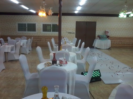
Cafe nearby إستراحة ربيع السروات +إستراحة الرياض
إستراحة ربيع السروات +إستراحة الرياض
Tabuk Street, 47331, Al Khobar, SA Saudi Arabia
contacts phone
:
+966 53 583 4156
Latitude:
28.4397655
, Longitude:
36.6611852
larger map & directions
read more
nearest Cafe
1.276 km
شاليهات رمال تبوك
Unnamed Road, Tabuk
Cafe
read more
1.594 km
شاليه Relax
4306, Cultivated Area 6945, Tabuk
Cafe
read more
1.682 km
شاليهات لوفلاند
Tabuk
Cafe
read more
1.914 km
Cafe Knights of Tabuk
Tabuk
Cafe
read more
2.235 km
إيكو كافيه
Tabuk
Cafe
read more
2.258 km
مقهى أرماني كازا
Tabuk
Cafe
read more
2.258 km
لوجانو كافيه
Tabuk
Cafe
read more
2.264 km
Black Cafe
Tabuk
Cafe
read more
2.303 km
ناين كافييه
Tabuk
Cafe
read more
2.313 km
House of Donuts
Prince Fahd Ibn Sultan Road, Tabuk
Cafe
read more
2.346 km
الاخضر المغربي
Tabuk
Cafe
read more
2.348 km
BARNCAFE بارن كافيه
Tabuk
Cafe
read more
2.352 km
Dimato Cafe
Prince Fahd Ibn Sultan Road, Tabuk
Cafe
read more
2.357 km
ايكو كافيه Echo coffee
طريق
Cafe
read more
2.403 km
Location Cafe
Al Madinah Street, Near Driving School، تبوك
Cafe
read more
2.48 km
شاليهات الراشديه
Tabuk
Cafe
read more
2.488 km
Barncafe بارن كافيه
Prince Fahd Ibn Sultan Rd,Tabuk, Tabuk, Al Barakati, Tabuk
Cafe
read more
2.818 km
السامري
Prince Fahd Ipn Sultan Branch Road, Tabuk
Cafe
read more
2.867 km
Stop Cafe
Prince Fahd Ibn Sultan Road, Tabuk
Cafe
read more
2.886 km
مقهى الجزيرة
Prince Fahd Ipn Sultan Branch Road, Tabuk
Cafe
read more
3.025 km
قاعة وشاليهات عز
Unnamed Road
Cafe
read more
3.158 km
المزاج المغربي
Tabuk
Cafe
read more
3.241 km
كوفي طيبة
Tabuk
Cafe
read more
3.293 km
مقهى صاحب السعادة
Tabuk
Cafe
read more
3.293 km
مقهى ام بي سي
Tabuk
Cafe
read more
📑
all categories
Accounting
Administrative area level 1
Airport
Amusement park
Aquarium
Art gallery
Atm
Bakery
Bank
Bar
Beauty salon
Bicycle store
Book store
Bowling alley
Bus station
Cafe
Campground
Car dealer
Car rental
Car repair
Car wash
Casino
Cemetery
Church
City hall
Clothing store
Colloquial area
Convenience store
Country
Courthouse
Dentist
Department store
Doctor
Electrician
Electronics store
Embassy
Finance
Fire station
Florist
Food
Funeral home
Furniture store
Gas station
General contractor
Grocery or supermarket
Gym
Hair care
Hardware store
Health
Hindu Temple
Home goods store
Hospital
Insurance agency
Intersection
Jewelry store
Laundry
Lawyer
Library
Light rail station
Liquor store
Local government office
Locality
Locksmith
Lodging
Meal delivery
Meal takeaway
Mosque
Movie rental
Movie theater
Moving company
Museum
Natural feature
Neighborhood
Night club
Painter
Park
Parking
Pet store
Pharmacy
Physiotherapist
Place of worship
Plumber
Point of interest
Police
Political
Post office
Premise
Real estate agency
Restaurant
Roofing contractor
Route
Rv park, camping
School
Shoe store
Shopping mall
Spa
Stadium
Storage
Store
Sublocality
Subpremise
Subway station
Supermarket
Taxi stand
Train station
Transit station
Travel agency
University
Veterinary care
Zoo
sublocality level 1
↑