Cafe nearby Krispy Kreme
Saudi Arabia
Cafe nearby Krispy Kreme
Krispy Kreme
Western Ring Road, Riyadh, SA Saudi Arabia
contacts phone
:
+966 9200 03218
website:
www.krispykremearabia.com
Latitude:
24.5723094
, Longitude:
46.6122926
larger map & directions
read more
nearest Cafe
227 m
Java Time
Western Ring Road, Riyadh
Cafe
read more
317 m
مقهى بيت الكيف
Western Ring Branch Road, Riyadh
Cafe
read more
331 m
Mercury Coffee
2345 Western Ring Branch Road, Riyadh
Cafe
read more
579 m
Dallah Zaman
Ash Shaikh Muhammad Ibn Abdul Latif, Riyadh
Cafe
read more
619 m
حالي و مالح
Riyadh
Cafe
read more
623 m
حالي ومالح حي السويدي مخرج27
Riyadh
Cafe
read more
714 m
Wild coffee
Western Ring Branch Road, Riyadh
Cafe
read more
799 m
تاج القهوة
Ash Shaikh Muhammad Ibn Abdul Latif, Riyadh
Cafe
read more
800 m
Dunkin' Donuts
Al Madinah Al Munawwarah Rd, As Suwaidi Al Gharabi، الرياض
Cafe
read more
851 m
Arabica Coffee
Al Madinah Al Munawwarah Road, Riyadh
Cafe
read more
935 m
SMART CAFE
Riyadh
Cafe
read more
937 m
hello my coffee
7449 شارع الفجر، السويدي الغربي الرياض 12991 3682 Al Fajar Street, Riyadh
Cafe
read more
941 m
Moroccan Taste
Al Madinah Al Munawwarah Road, Riyadh
Cafe
read more
944 m
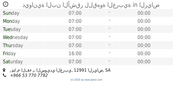
ديوانية البن الأشقر للقهوة العربية
شارع الفجر، السويدي الغربي، الرياض
Cafe
read more
988 m
قهوة مخففة
Al Fajar Street, Riyadh
Cafe
read more
1.066 km
أ. مزاج كافيه
Riyadh
Cafe
read more
1.087 km
High Garden Cafe
Western Ring Branch Road, Riyadh
Cafe
read more
1.121 km
Filter Roastery
Riyadh
Cafe
read more
1.121 km
Filter Roastery، محمصة فلتر
Riyadh
Cafe
read more
1.204 km
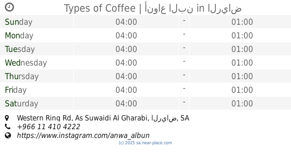
Types of Coffee | أنواع البن
Western Ring Rd, As Suwaidi Al Gharabi، الرياض
Cafe
read more
1.22 km
Hot And Cold
الدائري الغربي, Al Badayea
Cafe
read more
1.258 km
الشاليه
عامر القرشي, Riyadh
Cafe
read more
1.285 km
Coffee our past
Riyadh
Cafe
read more
1.296 km
شقة محمد عرار
6779 بير الخيام،, 3548, Riyadh
Cafe
read more
1.369 km
Java Cafe
Yunis Al Maliji, Riyadh
Cafe
read more
📑
all categories
Accounting
Administrative area level 1
Airport
Amusement park
Aquarium
Art gallery
Atm
Bakery
Bank
Bar
Beauty salon
Bicycle store
Book store
Bowling alley
Bus station
Cafe
Campground
Car dealer
Car rental
Car repair
Car wash
Casino
Cemetery
Church
City hall
Clothing store
Colloquial area
Convenience store
Country
Courthouse
Dentist
Department store
Doctor
Electrician
Electronics store
Embassy
Finance
Fire station
Florist
Food
Funeral home
Furniture store
Gas station
General contractor
Grocery or supermarket
Gym
Hair care
Hardware store
Health
Hindu Temple
Home goods store
Hospital
Insurance agency
Intersection
Jewelry store
Laundry
Lawyer
Library
Light rail station
Liquor store
Local government office
Locality
Locksmith
Lodging
Meal delivery
Meal takeaway
Mosque
Movie rental
Movie theater
Moving company
Museum
Natural feature
Neighborhood
Night club
Painter
Park
Parking
Pet store
Pharmacy
Physiotherapist
Place of worship
Plumber
Point of interest
Police
Political
Post office
Premise
Real estate agency
Restaurant
Roofing contractor
Route
Rv park, camping
School
Shoe store
Shopping mall
Spa
Stadium
Storage
Store
Sublocality
Subpremise
Subway station
Supermarket
Taxi stand
Train station
Transit station
Travel agency
University
Veterinary care
Zoo
sublocality level 1
↑