Cafe nearby ترو وتوار
Saudi Arabia
Cafe nearby ترو وتوار
ترو وتوار
Al Malqa, Riyadh 13524, Saudi Arabia
contacts phone
:
+966
Latitude:
24.8047016
, Longitude:
46.6082733
larger map & directions
read more
nearest Cafe
7 m
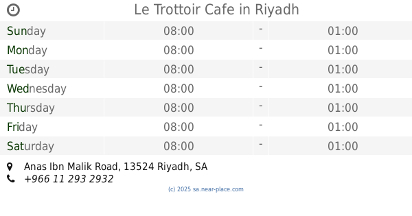
Le Trottoir Cafe
Anas Ibn Malik Road, Riyadh
Cafe
read more
41 m
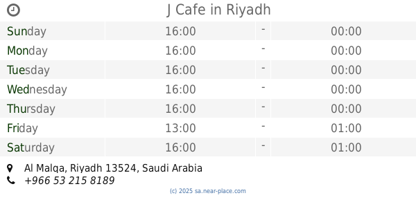
J Cafe
Riyadh
Cafe
read more
52 m
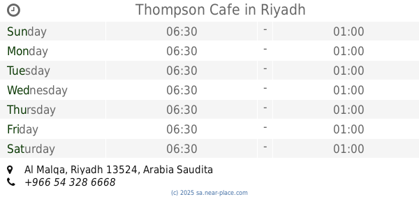
Thompson Cafe
Riyadh
Cafe
read more
103 m
القهوة المعتقة
Riyadh
Cafe
read more
173 m
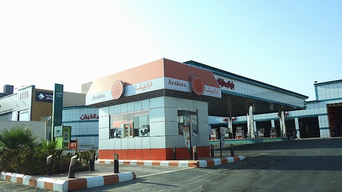
Arabica
Anas Ibn Malik Road, Riyadh
Cafe
read more
232 m
شاهي الطيبين
تلال الرياض, Riyadh
Cafe
read more
413 m
Shakey's (milkshake bar)
Riyadh
Cafe
read more
557 m
مقهى روزا مغربي
طريق الأمير محمد بن سعد بن عبدالعزيز،، الرياض
Cafe
read more
610 m
Dunkin' Donuts - دانكن دونتس
Anas Ibn Malik Road, Riyadh
Cafe
read more
675 m
Starbucks Cafe , kiosk Inside Tamimi
Riyadh
Cafe
read more
759 m
Coffee bin Chadelya
6641 طريق الأمير محمد بن سعد بن عبدالعزيز، الملقا الرياض 13524 2626 Prince Muhammad Ibn Saad Ibn Abdulaziz Road, Riyadh
Cafe
read more
813 m
Alrifai
Anas Ibn Malik Road, Riyadh
Cafe
read more
850 m
Java Time
طريق أنس ابن مالك, الملقا، الرياض
Cafe
read more
863 m
Menara Lounge & Restaurant
Anas Ibn Malik Rd, Al Malqa، الرياض
Cafe
read more
903 m
Gloria Jean's Coffees
Anas Ibn Malik Road, Riyadh
Cafe
read more
942 m
Dose Cafe
Riyadh
Cafe
read more
947 m
Dose
Riyadh
Cafe
read more
1.004 km
Starbucks
Telal Plaza، Anas Ibn Malik Rd, Al Malqa، الرياض
Cafe
read more
1.004 km
Starbucks
Telal Plaza, Riyadh
Cafe
read more
1.004 km
Starbucks
Telal Plaza، Anas Ibn Malik Rd, Al Malqa، Riyadh
Cafe
read more
1.021 km
ارورا ترك
Prince Muhammad Ibn Saad Ibn Abdulaziz Road, Riyadh
Cafe
read more
1.052 km
Aurora Truck
الرياض
Cafe
read more
1.095 km
تشوكليت هاڤانا
رقم 253،, Riyadh
Cafe
read more
1.097 km
Ams café
Riyadh
Cafe
read more
1.169 km
جرينبريز
Riyadh
Cafe
read more
📑
all categories
Accounting
Administrative area level 1
Airport
Amusement park
Aquarium
Art gallery
Atm
Bakery
Bank
Bar
Beauty salon
Bicycle store
Book store
Bowling alley
Bus station
Cafe
Campground
Car dealer
Car rental
Car repair
Car wash
Casino
Cemetery
Church
City hall
Clothing store
Colloquial area
Convenience store
Country
Courthouse
Dentist
Department store
Doctor
Electrician
Electronics store
Embassy
Finance
Fire station
Florist
Food
Funeral home
Furniture store
Gas station
General contractor
Grocery or supermarket
Gym
Hair care
Hardware store
Health
Hindu Temple
Home goods store
Hospital
Insurance agency
Intersection
Jewelry store
Laundry
Lawyer
Library
Light rail station
Liquor store
Local government office
Locality
Locksmith
Lodging
Meal delivery
Meal takeaway
Mosque
Movie rental
Movie theater
Moving company
Museum
Natural feature
Neighborhood
Night club
Painter
Park
Parking
Pet store
Pharmacy
Physiotherapist
Place of worship
Plumber
Point of interest
Police
Political
Post office
Premise
Real estate agency
Restaurant
Roofing contractor
Route
Rv park, camping
School
Shoe store
Shopping mall
Spa
Stadium
Storage
Store
Sublocality
Subpremise
Subway station
Supermarket
Taxi stand
Train station
Transit station
Travel agency
University
Veterinary care
Zoo
sublocality level 1
↑