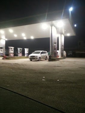
Gas station nearby Areej fuel station
Saudi Arabia
Gas station nearby Areej fuel station
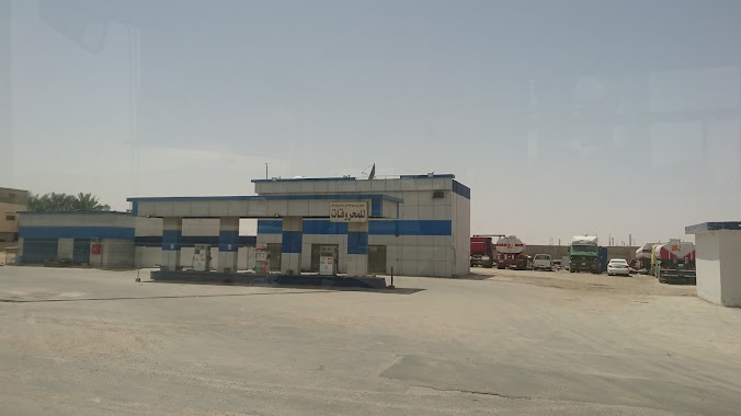
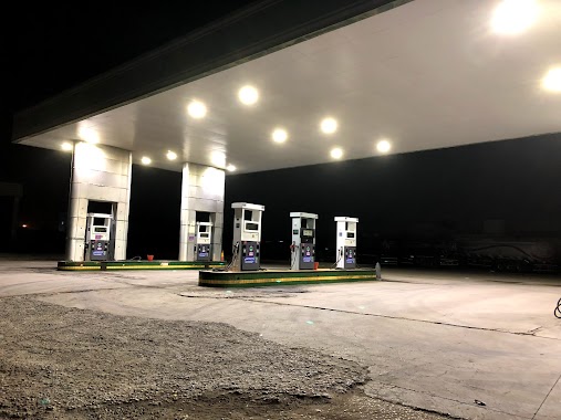
Areej fuel station
Al Kharj Road, 14542, Riyadh, SA Saudi Arabia
contacts phone
:
+966
Latitude:
24.5177886
, Longitude:
46.9125813
larger map & directions
read more
nearest Gas station
1.551 km
Petrol station
Unnamed Road, Riyadh
Gas station
read more
2.457 km
Al Drees Gas Station
Al Kharj Road, Riyadh
Gas station
read more
3.345 km
Al Kharij
Al Kharj Road, Riyadh
Gas station
read more
3.703 km
Gas station
4297 Al Kharj Road, Riyadh
Gas station
read more
3.857 km
Al-Tashelat
Al Kharj Road, Riyadh
Gas station
read more
3.923 km
Sewage treatment plant STP Phase III
6th, 24°30'16. 46°56'54.8"E, Riyadh
Gas station
read more
4.581 km
محطة مصفاة الرياض
3545 طريق الخرج، المصفاة الرياض 14525
Gas station
read more
4.908 km
المسلّم للخدمات البترولية
Riyadh
Gas station
read more
5.256 km
محطة ادنوك
9777, 3798, Riyadh
Gas station
read more
5.28 km
ENOC Station
Riyadh
Gas station
read more
5.393 km
Thubat Station
2897 Al Kharj Road, Riyadh
Gas station
read more
5.586 km
Aljeri
Al Kharj Road, Riyadh
Gas station
read more
6.015 km
Alrabiesaudifoodscampanyfactory
Riyadh
Gas station
read more
6.207 km
RIYADH CLEAN TRANSPORTATION FUELS
Riyadh
Gas station
read more
6.91 km
Gas station
6118 طريق الخرج، المدينة الصناعية الجديدة، الرياض 14319 2914 Al Kharj Road, Riyadh
Gas station
read more
6.924 km
Octane Fuel Station
Eastern Ring Road Extension, Riyadh
Gas station
read more
6.935 km
Altashilat Petrol station
6118 Al Kharj Road, Riyadh
Gas station
read more
8.867 km
Muslim station
4785 Al Kharj Road, Riyadh
Gas station
read more
9.375 km
محطة الدريس
Al Kharj Road, Riyadh
Gas station
read more
9.375 km
Aldrees
Al Kharj Road, Riyadh
Gas station
read more
9.527 km
Petrol Station
2994 بن عامر, 6905, Riyadh
Gas station
read more
9.527 km
محطة رياض الإسكان للمحروقات
الرياض
Gas station
read more
9.527 km
محطة رياض الإسكان للمحروقات
Riyadh
Gas station
read more
9.53 km
محطة رياض الاسكان
Riyadh
Gas station
read more
10.383 km
NOUF
Al Kharj Road, Riyadh
Gas station
read more
📑
all categories
Accounting
Administrative area level 1
Airport
Amusement park
Aquarium
Art gallery
Atm
Bakery
Bank
Bar
Beauty salon
Bicycle store
Book store
Bowling alley
Bus station
Cafe
Campground
Car dealer
Car rental
Car repair
Car wash
Casino
Cemetery
Church
City hall
Clothing store
Colloquial area
Convenience store
Country
Courthouse
Dentist
Department store
Doctor
Electrician
Electronics store
Embassy
Finance
Fire station
Florist
Food
Funeral home
Furniture store
Gas station
General contractor
Grocery or supermarket
Gym
Hair care
Hardware store
Health
Hindu Temple
Home goods store
Hospital
Insurance agency
Intersection
Jewelry store
Laundry
Lawyer
Library
Light rail station
Liquor store
Local government office
Locality
Locksmith
Lodging
Meal delivery
Meal takeaway
Mosque
Movie rental
Movie theater
Moving company
Museum
Natural feature
Neighborhood
Night club
Painter
Park
Parking
Pet store
Pharmacy
Physiotherapist
Place of worship
Plumber
Point of interest
Police
Political
Post office
Premise
Real estate agency
Restaurant
Roofing contractor
Route
Rv park, camping
School
Shoe store
Shopping mall
Spa
Stadium
Storage
Store
Sublocality
Subpremise
Subway station
Supermarket
Taxi stand
Train station
Transit station
Travel agency
University
Veterinary care
Zoo
sublocality level 1
↑