Gas station nearby Deserts station
Saudi Arabia
Gas station nearby Deserts station
Deserts station
طريق روضة خريم، الرياض Saudi Arabien
contacts phone
:
+966
Latitude:
25.0125052
, Longitude:
47.0252512
read more
nearest Gas station
8.637 km
Abu Haitham Petrol Station
Riyadh
Gas station
read more
13.491 km
Allahaidan station
Riyadh
Gas station
read more
15.006 km
Petrol pump riyadh road
Riyadh
Gas station
read more
15.05 km
محطة العويني
الرياض
Gas station
read more
15.058 km
محطة لتر
Dammam Road, Riyadh
Gas station
read more
17.518 km
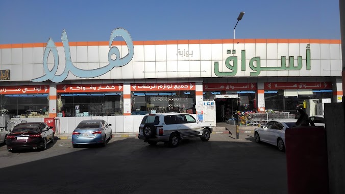
Hala Petrol Station
40, Riyadh
Gas station
read more
20.43 km
محطة العجمي
Riyadh
Gas station
read more
21.134 km
محطة إطلالة البيان
مالك الخزرجي، الرمال، الرياض
Gas station
read more
21.557 km
محطة أسطورة الرائد
الرياض
Gas station
read more
21.57 km
محطة اسطورة الرائد للوقود
ابن الجزري, Riyadh
Gas station
read more
21.686 km
حي البيان
Unnamed Road, Riyadh
Gas station
read more
21.908 km
بترو التميز
طريق الدمام، الرياض
Gas station
read more
21.968 km
محطة الآتوز
Dammam Road, Riyadh
Gas station
read more
22.003 km
Atawi Station
8738 Al Jenadriyah Road, Riyadh
Gas station
read more
22.276 km
محطة للمحروقات
8084 Al Jenadriyah Road, Riyadh
Gas station
read more
23.478 km
Jarash Fuel Gas Station
Al Jenadriyah Road, Riyadh
Gas station
read more
23.627 km
Nazar Station
طريق الجنادرية Al Jenadriyah Road, Riyadh
Gas station
read more
24.36 km
Jerash Station
Al Jenadriyah Road, Riyadh
Gas station
read more
24.586 km
Wings Qassim station
Riyadh
Gas station
read more
24.796 km
محطة الورود
3293 الشرف, Riyadh
Gas station
read more
24.92 km
محطة الربط الآلي للمحروقاتFuel Station
8263, مطار الملك خالد،, Riyadh
Gas station
read more
25.52 km
محطة وقود الجمعان
3414 At Turath, Riyadh
Gas station
read more
25.59 km
محطة بن رحية
Riyadh
Gas station
read more
25.592 km
Zoeffra Station
4453-4479 At Turath, Riyadh
Gas station
read more
25.686 km
محطة الحربي
8229 Khurais Road, Riyadh
Gas station
read more
📑
all categories
Accounting
Administrative area level 1
Airport
Amusement park
Aquarium
Art gallery
Atm
Bakery
Bank
Bar
Beauty salon
Bicycle store
Book store
Bowling alley
Bus station
Cafe
Campground
Car dealer
Car rental
Car repair
Car wash
Casino
Cemetery
Church
City hall
Clothing store
Colloquial area
Convenience store
Country
Courthouse
Dentist
Department store
Doctor
Electrician
Electronics store
Embassy
Finance
Fire station
Florist
Food
Funeral home
Furniture store
Gas station
General contractor
Grocery or supermarket
Gym
Hair care
Hardware store
Health
Hindu Temple
Home goods store
Hospital
Insurance agency
Intersection
Jewelry store
Laundry
Lawyer
Library
Light rail station
Liquor store
Local government office
Locality
Locksmith
Lodging
Meal delivery
Meal takeaway
Mosque
Movie rental
Movie theater
Moving company
Museum
Natural feature
Neighborhood
Night club
Painter
Park
Parking
Pet store
Pharmacy
Physiotherapist
Place of worship
Plumber
Point of interest
Police
Political
Post office
Premise
Real estate agency
Restaurant
Roofing contractor
Route
Rv park, camping
School
Shoe store
Shopping mall
Spa
Stadium
Storage
Store
Sublocality
Subpremise
Subway station
Supermarket
Taxi stand
Train station
Transit station
Travel agency
University
Veterinary care
Zoo
sublocality level 1
↑