Gas station nearby محطة الحرمين
Saudi Arabia
Gas station nearby محطة الحرمين
محطة الحرمين
4691, Old Makkah Road, 22343, Jeddah, SA Saudi Arabia
contacts phone
:
+966
Latitude:
21.467706
, Longitude:
39.2436823
larger map & directions
read more
nearest Gas station
372 m
Al-Wafa Station
2368 Old Makkah Road, Jeddah
Gas station
read more
437 m
محطة وقود حمود العثمان
7204 Al Iskan, حي مدائن الفهد, Jeddah
Gas station
read more
548 m
محطة وقود طيبة
4787, حي مدائن الفهد 7340, Jeddah
Gas station
read more
706 m
AL-Mana'a Gas Station
2661 Old Makkah Road, حي مدائن الفهد, Jeddah
Gas station
read more
742 m
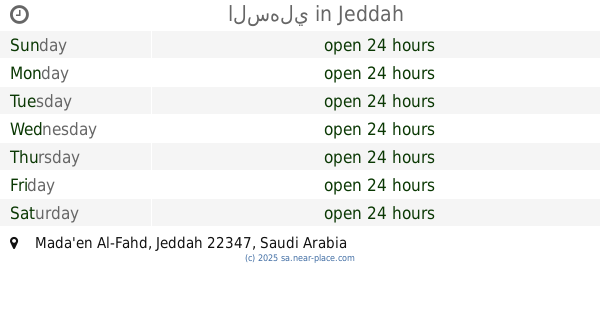
محطة وقود بنزين شعلة الوزيرية
7252, حي مدائن الفهد 4973, Jeddah
Gas station
read more
894 m
gas station
7703 Al Jamiah, Jeddah
Gas station
read more
985 m
Petrocar Gas Station
Jeddah
Gas station
read more
986 m
محمطة وقود الوزيرية
Jeddah
Gas station
read more
1.25 km
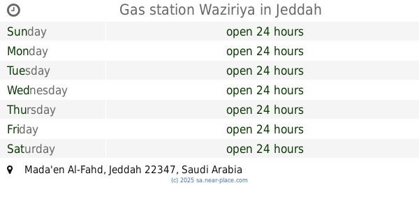
Gas station Waziriya
Jeddah
Gas station
read more
1.255 km
Al-Sehly Petrol Station
Madain Al Fahd,، جدة
Gas station
read more
1.255 km
Al-Sehly Petrol Station
Jeddah
Gas station
read more
1.257 km
مسجدالبوادي
جدة
Gas station
read more
1.268 km
محطة نجمة المدائن
3681 Old Makkah Road, Jeddah
Gas station
read more
1.292 km
Yamama Station
8201 Al Jamiah, Jeddah
Gas station
read more
1.335 km
مركز غزة لصيانة السيارات
Jeddah
Gas station
read more
1.342 km
محطه بنزين نجد
6484 Bin Ladin, Jeddah
Gas station
read more
1.363 km
محطه ام القرى النموذجيه
3331 Old Makkah Road, Jeddah
Gas station
read more
1.485 km
Johaina station
5362 Bakhashab, Jeddah
Gas station
read more
1.518 km
محطة العملاق
8051 جدة 22345
Gas station
read more
1.519 km
محطة الرفاعي
8051, Jeddah
Gas station
read more
1.55 km
محطة بن هلابي
4039 Adib Bik Al Khayal, Jeddah
Gas station
read more
1.55 km
Petrol station
4039 Adib Bik Al Khayal, Jeddah
Gas station
read more
1.562 km
السهلي
Jeddah
Gas station
read more
1.655 km
مغسلة النخله للسيارات
Jeddah
Gas station
read more
1.693 km
محطة النخلة
4375 حسن طيب, حي الثغر، 6673, Jeddah
Gas station
read more
📑
all categories
Accounting
Administrative area level 1
Airport
Amusement park
Aquarium
Art gallery
Atm
Bakery
Bank
Bar
Beauty salon
Bicycle store
Book store
Bowling alley
Bus station
Cafe
Campground
Car dealer
Car rental
Car repair
Car wash
Casino
Cemetery
Church
City hall
Clothing store
Colloquial area
Convenience store
Country
Courthouse
Dentist
Department store
Doctor
Electrician
Electronics store
Embassy
Finance
Fire station
Florist
Food
Funeral home
Furniture store
Gas station
General contractor
Grocery or supermarket
Gym
Hair care
Hardware store
Health
Hindu Temple
Home goods store
Hospital
Insurance agency
Intersection
Jewelry store
Laundry
Lawyer
Library
Light rail station
Liquor store
Local government office
Locality
Locksmith
Lodging
Meal delivery
Meal takeaway
Mosque
Movie rental
Movie theater
Moving company
Museum
Natural feature
Neighborhood
Night club
Painter
Park
Parking
Pet store
Pharmacy
Physiotherapist
Place of worship
Plumber
Point of interest
Police
Political
Post office
Premise
Real estate agency
Restaurant
Roofing contractor
Route
Rv park, camping
School
Shoe store
Shopping mall
Spa
Stadium
Storage
Store
Sublocality
Subpremise
Subway station
Supermarket
Taxi stand
Train station
Transit station
Travel agency
University
Veterinary care
Zoo
sublocality level 1
↑