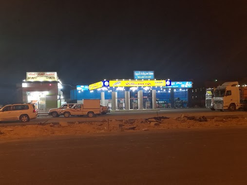
Gas station nearby محطة التقوى للخدمات البترولية
Saudi Arabia
Gas station nearby محطة التقوى للخدمات البترولية
محطة التقوى للخدمات البترولية
4049, Sultana, Sharorah 68372, Saudi Arabia
contacts phone
:
+966
Latitude:
17.4822285
, Longitude:
47.1158948
larger map & directions
read more
nearest Gas station
4 m
محطه وقود
4049, 6891،, Sharorah
Gas station
read more
335 m
Medal Station
7152, Sharorah
Gas station
read more
569 m
محطة الحلوة
7437, Sharorah
Gas station
read more
616 m
محطة
4524, Sharorah
Gas station
read more
762 m
محطة وقود
4600, Sharorah
Gas station
read more
830 m
Renaissance Station Petroleum Services
Sharorah
Gas station
read more
844 m
محطة الشلال
6994, Sharorah
Gas station
read more
996 m
Sarorha Saudi Arv
Sharorah
Gas station
read more
1.075 km
محطة الحزام للخدمات البترولية
4346, Sharorah
Gas station
read more
1.309 km
محطة العزيزية
3499, Sharorah
Gas station
read more
1.328 km
محطة الجنادرية
خط المطار،, Sharorah
Gas station
read more
1.393 km
محطة عروس الربع الخالي
Sharorah
Gas station
read more
1.414 km
Publish the summit
8000, Sharorah
Gas station
read more
1.479 km
Al Jazira
8387, 3933, Sharorah
Gas station
read more
1.51 km
محطة وقود الجزيرة
8387، شرورة 68372
Gas station
read more
1.759 km
Happiness station
2520, Sharorah
Gas station
read more
1.777 km
مركز السعادة للخدمات البترولية
6757, Sharorah
Gas station
read more
1.79 km
Al Saadah Petroleum Center
6757, Sharorah
Gas station
read more
1.79 km
محطة الرمال
8554, 4818, Sharorah
Gas station
read more
1.802 km
محطة السعادة
6757, 2276, Sharorah
Gas station
read more
2.024 km
Fayhaa Station Petroleum Services
Sharorah
Gas station
read more
2.066 km
محطة الشارقة
Sharorah
Gas station
read more
2.188 km
Jawhara station
6055, 2087, Sharorah
Gas station
read more
2.483 km
محطة المنفذ البترولية
6714 مخطط أ، شرورة 68341
Gas station
read more
2.489 km
Petrol Station
Sharorah
Gas station
read more
📑
all categories
Accounting
Administrative area level 1
Airport
Amusement park
Aquarium
Art gallery
Atm
Bakery
Bank
Bar
Beauty salon
Bicycle store
Book store
Bowling alley
Bus station
Cafe
Campground
Car dealer
Car rental
Car repair
Car wash
Casino
Cemetery
Church
City hall
Clothing store
Colloquial area
Convenience store
Country
Courthouse
Dentist
Department store
Doctor
Electrician
Electronics store
Embassy
Finance
Fire station
Florist
Food
Funeral home
Furniture store
Gas station
General contractor
Grocery or supermarket
Gym
Hair care
Hardware store
Health
Hindu Temple
Home goods store
Hospital
Insurance agency
Intersection
Jewelry store
Laundry
Lawyer
Library
Light rail station
Liquor store
Local government office
Locality
Locksmith
Lodging
Meal delivery
Meal takeaway
Mosque
Movie rental
Movie theater
Moving company
Museum
Natural feature
Neighborhood
Night club
Painter
Park
Parking
Pet store
Pharmacy
Physiotherapist
Place of worship
Plumber
Point of interest
Police
Political
Post office
Premise
Real estate agency
Restaurant
Roofing contractor
Route
Rv park, camping
School
Shoe store
Shopping mall
Spa
Stadium
Storage
Store
Sublocality
Subpremise
Subway station
Supermarket
Taxi stand
Train station
Transit station
Travel agency
University
Veterinary care
Zoo
sublocality level 1
↑