Gas station nearby مصلى
Saudi Arabia
Gas station nearby مصلى
مصلى
Al Khobar Saudi Arabia
contacts phone
:
+966
Latitude:
26.2833259
, Longitude:
50.1815195
read more
nearest Gas station
27 m
Sahel
King Khalid Branch Road, Al Khobar
Gas station
read more
734 m
Patrol Station
Al Khobar
Gas station
read more
738 m
محطة مشعل للوقود
Al Khobar
Gas station
read more
751 m
Al Drees Fuel Gas Station
Yanbu Street, Al Khobar
Gas station
read more
793 m
Car wash
3173 العاشر, Al Khobar
Gas station
read more
902 m
ابو عبدالله البنشري
Makkah Al Mukarramah Street, Al Khobar
Gas station
read more
914 m
الشرق الأوسط
3491 Custodian of The Two Holy Mosques Road, 8975, Al Khobar
Gas station
read more
982 m
Sahel Fuel Station
Makkah Al Mukarramah Street, Al Khobar
Gas station
read more
1.161 km
Al Drees
Yanbu Street, Al Khobar
Gas station
read more
1.225 km
بنشر القادسيه
3158 العاشر،, 6774, Al Khobar
Gas station
read more
1.285 km
محطة النافورة للبترول
3396 Custodian of The Two Holy Mosques Road, Al Khobar
Gas station
read more
1.585 km
Sahel
Custodian of The Two Holy Mosques Road, Al Khobar
Gas station
read more
1.631 km
التميي اوتو زون
Dhahran Rd, Intersection With Riyadh St.،, Al Khobar
Gas station
read more
1.728 km
محطة بترولي
Aseer Street, Al Khobar
Gas station
read more
1.844 km
Gulf Petrol Station
15th Street, Al Khobar
Gas station
read more
1.859 km
Mubarak Karbi Station
Al Khobar
Gas station
read more
2.049 km
Gas Station
4604 15th Street, 8270, Al Khobar
Gas station
read more
2.083 km
Sahel
Al Khobar
Gas station
read more
2.083 km
Petrol station
7503 فراس بن النضر, Al Khobar
Gas station
read more
2.128 km
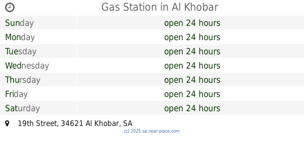
Gas Station
19th Street, Al Khobar
Gas station
read more
2.131 km
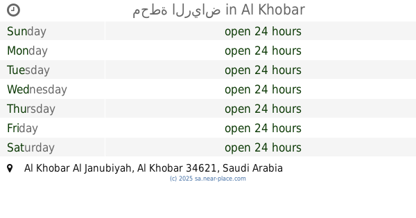
محطة الرياض
Al Khobar
Gas station
read more
2.234 km
Emad Gas Station
Prince Humud Street, Al Khobar
Gas station
read more
2.276 km
SASCO Al-Khobar 1
Al Khobar
Gas station
read more
2.279 km
Petro Edlah. Aqrabia
7373 Prince Humud Street, 3995, Al Khobar
Gas station
read more
2.319 km
محطة مزايا
25th Street, Al Khobar
Gas station
read more
📑
all categories
Accounting
Administrative area level 1
Airport
Amusement park
Aquarium
Art gallery
Atm
Bakery
Bank
Bar
Beauty salon
Bicycle store
Book store
Bowling alley
Bus station
Cafe
Campground
Car dealer
Car rental
Car repair
Car wash
Casino
Cemetery
Church
City hall
Clothing store
Colloquial area
Convenience store
Country
Courthouse
Dentist
Department store
Doctor
Electrician
Electronics store
Embassy
Finance
Fire station
Florist
Food
Funeral home
Furniture store
Gas station
General contractor
Grocery or supermarket
Gym
Hair care
Hardware store
Health
Hindu Temple
Home goods store
Hospital
Insurance agency
Intersection
Jewelry store
Laundry
Lawyer
Library
Light rail station
Liquor store
Local government office
Locality
Locksmith
Lodging
Meal delivery
Meal takeaway
Mosque
Movie rental
Movie theater
Moving company
Museum
Natural feature
Neighborhood
Night club
Painter
Park
Parking
Pet store
Pharmacy
Physiotherapist
Place of worship
Plumber
Point of interest
Police
Political
Post office
Premise
Real estate agency
Restaurant
Roofing contractor
Route
Rv park, camping
School
Shoe store
Shopping mall
Spa
Stadium
Storage
Store
Sublocality
Subpremise
Subway station
Supermarket
Taxi stand
Train station
Transit station
Travel agency
University
Veterinary care
Zoo
sublocality level 1
↑