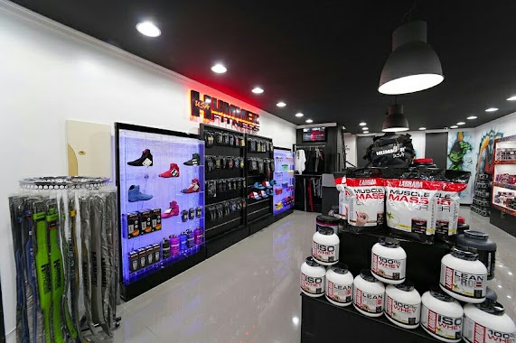
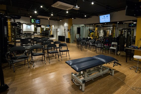
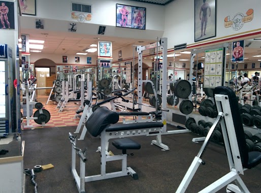
Gym nearby H2 GYM مركز أبو السعود الرياضي
Saudi Arabia
Gym nearby H2 GYM مركز أبو السعود الرياضي
H2 GYM مركز أبو السعود الرياضي
Cornish Road, 32451, Saihat, SA Saudi Arabia
contacts phone
:
+966
website:
instagram.com
Latitude:
26.4879971
, Longitude:
50.0559977
larger map & directions
read more
nearest Gym
11 m
H2 Gym
Al Kawthar, Saihat
Gym
read more
12 m
الروسي للمكملات الغذائية
سيهات حي, Saihat
Gym
read more
22 m
H2 نادي ابو السعود
Saihat
Gym
read more
491 m
بي كلينيك B Clinic
Alkaleej street, Saihat
Gym
read more
516 m
صالة أورنج النسائية
طريق الخليج،, Saihat
Gym
read more
1.428 km
Old People Care Center
Saihat
Gym
read more
1.439 km
Hasna Gym
شارع هلال بن زين, Saihat
Gym
read more
1.571 km
Fitness Time Pro
Khaleej Road, Saihat
Gym
read more
1.646 km
Gold's Gym
Omar Ibn Abdulaziz Street, Saihat
Gym
read more
1.718 km
بشاير للرياضة
5 Street, Saihat
Gym
read more
2.178 km
Saihat Fitness
Omar Ibn Abdulaziz Street, Saihat
Gym
read more
2.492 km
Orange fitness center
Saihat
Gym
read more
2.539 km
Orangegym Fitness Center
سيهات
Gym
read more
2.787 km
Quinn Health Club
Dammam
Gym
read more
3.442 km
صالة التاج الرياضية
8202, Dammam
Gym
read more
3.442 km
صالة التاج الرياضية
8202, 4048,, Dammam
Gym
read more
3.447 km
الاقمار خمسة حلاق al aqmar 5 saloon
8173 عمر بن عبد العزيز, Dammam
Gym
read more
3.63 km
ملاعب المطوع
3740, Saihat
Gym
read more
3.64 km
C Station CrossFit
3115 King Abdulaziz Road, Dammam
Gym
read more
3.654 km
الملعب
3740, Saihat
Gym
read more
3.673 km
صالة البطل
3713, 8916, Saihat
Gym
read more
3.713 km
Fitness Time
Cornish Road, Dammam
Gym
read more
3.752 km
ملاعب Z5صالة مغطاة
Saihat
Gym
read more
3.759 km
ملاعب النجوم
Saihat
Gym
read more
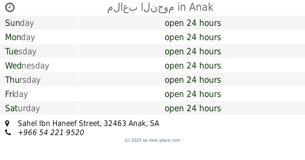
3.993 km
ملاعب النجوم
Sahel Ibn Haneef Street, Anak
Gym
read more
📑
all categories
Accounting
Administrative area level 1
Airport
Amusement park
Aquarium
Art gallery
Atm
Bakery
Bank
Bar
Beauty salon
Bicycle store
Book store
Bowling alley
Bus station
Cafe
Campground
Car dealer
Car rental
Car repair
Car wash
Casino
Cemetery
Church
City hall
Clothing store
Colloquial area
Convenience store
Country
Courthouse
Dentist
Department store
Doctor
Electrician
Electronics store
Embassy
Finance
Fire station
Florist
Food
Funeral home
Furniture store
Gas station
General contractor
Grocery or supermarket
Gym
Hair care
Hardware store
Health
Hindu Temple
Home goods store
Hospital
Insurance agency
Intersection
Jewelry store
Laundry
Lawyer
Library
Light rail station
Liquor store
Local government office
Locality
Locksmith
Lodging
Meal delivery
Meal takeaway
Mosque
Movie rental
Movie theater
Moving company
Museum
Natural feature
Neighborhood
Night club
Painter
Park
Parking
Pet store
Pharmacy
Physiotherapist
Place of worship
Plumber
Point of interest
Police
Political
Post office
Premise
Real estate agency
Restaurant
Roofing contractor
Route
Rv park, camping
School
Shoe store
Shopping mall
Spa
Stadium
Storage
Store
Sublocality
Subpremise
Subway station
Supermarket
Taxi stand
Train station
Transit station
Travel agency
University
Veterinary care
Zoo
sublocality level 1
↑