Library nearby مكتبة المداد
Saudi Arabia
Library nearby مكتبة المداد
مكتبة المداد
Al Muntazah Ash Sharqi, Hail 55428, Saudi Arabia
contacts phone
:
+966
Latitude:
27.5467062
, Longitude:
41.7168085
larger map & directions
read more
nearest Library
476 m
العلم للخدمات الطلابية
Hail
Library
read more
1.407 km
جود للخدمات الطلابية
Al Amir Naif Ibn Abdul Aziz, Hail
Library
read more
2.316 km
Azizia Library
6962 Al Amir Saad Ibn Fahd, Hail
Library
read more
2.468 km
الدائرة الحمراء للخدمات الطلابية
Hail
Library
read more
2.664 km
مكتبة الطالبات المركزية
حائل
Library
read more
2.806 km
مكتبة المداد
4433 جدة، 7654, Hail
Library
read more
2.814 km
Student Library مكتبة الفكرة
حائل
Library
read more
3.26 km
التميز للتخاضير
جدة Jaddah, Hail
Library
read more
3.619 km
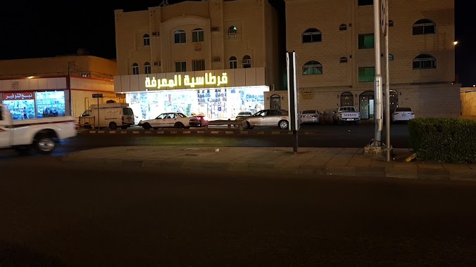
مكتبة المعرفة الفرع الرئيسي
8667 عثمان بن عفان, 2468, Hail
Library
read more
3.758 km
Stationery Library
6681, Hail
Library
read more
3.766 km
Stationery Azizia
6681, Hail
Library
read more
3.771 km
Azizia Library
6661, Hail
Library
read more
3.851 km
مكتبة المعرفة
Hail
Library
read more
3.907 km
مكتبة سناف اجا
Hail
Library
read more
3.944 km
مكتبة الطالبات الرئسية
حائل
Library
read more
4.058 km
مكتبة الأمل الاسلامية
Hail
Library
read more
4.118 km
مكتبة وقرطاسية الصقري
7604, Hail
Library
read more
4.158 km
Hail Public Library
Hail
Library
read more
4.587 km
مكتبة المعرفة - الوسيطاء
King Faisal Road, Hail
Library
read more
4.779 km
مكتبة الرشد
Muaz Ibn Jabal, Hail
Library
read more
4.779 km
Al Rushd Bookstore
Muaz Ibn Jabal, Hail
Library
read more
4.806 km
حبر الشمال
مكة مكرمة،، حائل
Library
read more
4.832 km
Al Marefa Library IMRAN
Hail
Library
read more
5.088 km
World Library Student Services
3758 طريق عقدة، الوسيطاء حائل 55424 7346 Uqdah Road, Hail
Library
read more
5.178 km
مكتبة الفرزدق
Hail
Library
read more
📑
all categories
Accounting
Administrative area level 1
Airport
Amusement park
Aquarium
Art gallery
Atm
Bakery
Bank
Bar
Beauty salon
Bicycle store
Book store
Bowling alley
Bus station
Cafe
Campground
Car dealer
Car rental
Car repair
Car wash
Casino
Cemetery
Church
City hall
Clothing store
Colloquial area
Convenience store
Country
Courthouse
Dentist
Department store
Doctor
Electrician
Electronics store
Embassy
Finance
Fire station
Florist
Food
Funeral home
Furniture store
Gas station
General contractor
Grocery or supermarket
Gym
Hair care
Hardware store
Health
Hindu Temple
Home goods store
Hospital
Insurance agency
Intersection
Jewelry store
Laundry
Lawyer
Library
Light rail station
Liquor store
Local government office
Locality
Locksmith
Lodging
Meal delivery
Meal takeaway
Mosque
Movie rental
Movie theater
Moving company
Museum
Natural feature
Neighborhood
Night club
Painter
Park
Parking
Pet store
Pharmacy
Physiotherapist
Place of worship
Plumber
Point of interest
Police
Political
Post office
Premise
Real estate agency
Restaurant
Roofing contractor
Route
Rv park, camping
School
Shoe store
Shopping mall
Spa
Stadium
Storage
Store
Sublocality
Subpremise
Subway station
Supermarket
Taxi stand
Train station
Transit station
Travel agency
University
Veterinary care
Zoo
sublocality level 1
↑