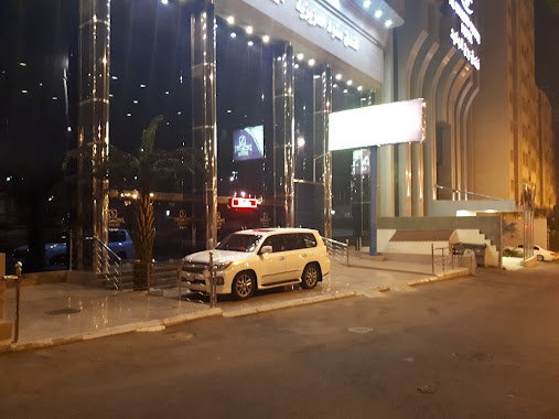
Lodging nearby فندق هاجر
Saudi Arabia
Lodging nearby فندق هاجر
فندق هاجر
Unnamed Road، Al Jamiah, Makkah 24235, Saudi Arabia
contacts phone
:
+966
Latitude:
21.3954658
, Longitude:
39.8661862
larger map & directions
read more
nearest Lodging
48 m
فندق ماسة المهند
5173, Mecca
Lodging
read more
56 m
Masat Al Mohand Mecca
شارع خالد بن عبدالعزيز، العزيزية الجنوبية, Mecca
Lodging
read more
130 m
Tabarak Hotel
شارع الهدا, Mecca
Lodging
read more
138 m
Al Rahabah Al Makkyah 2
Alazeeziah District, Mecca
Lodging
read more
143 m
منارة المشاعر
شارع الدعوة, Mecca
Lodging
read more
148 m
Flower Sunrise Hotel
6926 طريق الطائف, 5105, Mecca
Lodging
read more
172 m
فندق رفاف التميز
Mecca
Lodging
read more
173 m
Spaciousness Meccan
6193, Mecca
Lodging
read more
179 m
هتل الصفوه بلازا
3679، الجامعة، مكة 24243 6081،
Lodging
read more
189 m
فندق بشائر الخير
15, Mecca
Lodging
read more
189 m
هتل الصفوه بلازا
Mecca
Lodging
read more
198 m
فندق رفاف الحياة
شارع الدعوة, Mecca
Lodging
read more
203 m
فندق منارة المشاعر
Mecca
Lodging
read more
230 m
فندق رفاف الحياة
شارع عبدالله خياط، حي العزيزية، مكة
Lodging
read more
238 m
Meezab Albahaa Hotel
Aziza, Mecca
Lodging
read more
242 m
Hassan Hotel
3510, Mecca
Lodging
read more
244 m
Meezab Albahaa Hotel
3532, Mecca
Lodging
read more
251 m
Rubat Aziziya Mecca
Mecca
Lodging
read more
259 m
Al Farasha Hotel
Al Aziziyah district - next princes Nouf mosque, Mecca
Lodging
read more
270 m
AL WALEED TOWER HOTEL
6th, 21°23'52.4"N 39°51'57., Riyadh
Lodging
read more
277 m
عمارة الزبيدي
3739, 6196, Mecca
Lodging
read more
281 m
فندق الحرمين
Unnamed Road, Mecca
Lodging
read more
283 m
Snood Alazizyh Hotel
6413 At Taif Road, At Taif Rd, Mecca
Lodging
read more
283 m
Al Borj Al Aseel Hotel
The North Azizya Dst., Mecca
Lodging
read more
285 m
منازل الهدى
3545، الجامعة، مكة 24243 6318،
Lodging
read more
📑
all categories
Accounting
Administrative area level 1
Airport
Amusement park
Aquarium
Art gallery
Atm
Bakery
Bank
Bar
Beauty salon
Bicycle store
Book store
Bowling alley
Bus station
Cafe
Campground
Car dealer
Car rental
Car repair
Car wash
Casino
Cemetery
Church
City hall
Clothing store
Colloquial area
Convenience store
Country
Courthouse
Dentist
Department store
Doctor
Electrician
Electronics store
Embassy
Finance
Fire station
Florist
Food
Funeral home
Furniture store
Gas station
General contractor
Grocery or supermarket
Gym
Hair care
Hardware store
Health
Hindu Temple
Home goods store
Hospital
Insurance agency
Intersection
Jewelry store
Laundry
Lawyer
Library
Light rail station
Liquor store
Local government office
Locality
Locksmith
Lodging
Meal delivery
Meal takeaway
Mosque
Movie rental
Movie theater
Moving company
Museum
Natural feature
Neighborhood
Night club
Painter
Park
Parking
Pet store
Pharmacy
Physiotherapist
Place of worship
Plumber
Point of interest
Police
Political
Post office
Premise
Real estate agency
Restaurant
Roofing contractor
Route
Rv park, camping
School
Shoe store
Shopping mall
Spa
Stadium
Storage
Store
Sublocality
Subpremise
Subway station
Supermarket
Taxi stand
Train station
Transit station
Travel agency
University
Veterinary care
Zoo
sublocality level 1
↑