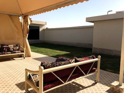
Lodging nearby منتجع الرحمانية
Saudi Arabia
Lodging nearby منتجع الرحمانية
منتجع الرحمانية
Riyadh Saudi Arabia
contacts phone
:
+966
Latitude:
24.6214434
, Longitude:
46.4506406
read more
nearest Lodging
1.726 km
شاليهات روناس
Dhahrat Laban, Taif Rd، الرياض
Lodging
read more
1.746 km
Essential Park Chalets شاليهات اسنشل بارك
Riyadh
Lodging
read more
1.752 km
Chalets Sun Wai
Riyadh
Lodging
read more
3.16 km
شاليهات اسباير بارك
Unnamed Road, Riyadh
Lodging
read more
3.16 km
شاليهات اسباير بارك
المهدية طريق طريق العروبه،, Riyadh
Lodging
read more
3.176 km
قاعة دخون
المهدية طريق الملك فهد طريق العروبه،, Riyadh
Lodging
read more
3.189 km
شاليهات فال
طريق السيل الكبير،، الرياض
Lodging
read more
3.199 km
شاليهات اسباير بارك
Al Mahdiyah, Riyadh
Lodging
read more
3.219 km
شاليهات لوف لبن
ظهرة لبن،, Riyadh
Lodging
read more
3.369 km
Reuven Resorts
Alsail Alkabeer Road, Riyadh
Lodging
read more
3.531 km
شقة الشباب
Dhahrat Laban, Riyadh
Lodging
read more
3.591 km
استراحة سحاب المهدية
Riyadh
Lodging
read more
3.593 km
Chalets Sahab Mahdia
Riyadh
Lodging
read more
3.675 km
Chalets Basma Najd
Alsail Alkabeer Road, Riyadh
Lodging
read more
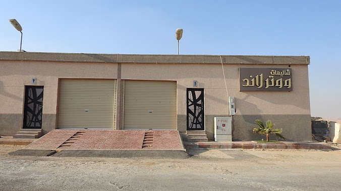
3.834 km
Water Land Resort
Unnamed Road
Lodging
read more
4.056 km
هابينِس ريزورت
Riyadh
Lodging
read more
4.454 km
شاليهات المهديه
Alsail Alkabeer Road, Riyadh
Lodging
read more
4.608 km
شاليه إياد
المهدية, طريق الملك فهد, طريق العروبه،, Riyadh
Lodging
read more
4.627 km
Artfan Resort
Riyadh
Lodging
read more
4.825 km
شاليه الجوهرة مخرج 35
Al Mahdiyah, طريق طريق العروبه, Riyadh
Lodging
read more
4.848 km
استراحة ليالي المهدية
Al Mahdiyah, Riyadh
Lodging
read more
4.849 km
Nights of Mahdia
Riyadh
Lodging
read more
4.859 km
ليالي المهدية
المهدية طريق الملك فهد طريق العروبه،, Riyadh
Lodging
read more
4.877 km
شاليهات الوتين
Al Mahdiyah, Riyadh
Lodging
read more
4.926 km
استراحة التواصل-المهديه
Alsail Alkabeer Road, Riyadh
Lodging
read more
📑
all categories
Accounting
Administrative area level 1
Airport
Amusement park
Aquarium
Art gallery
Atm
Bakery
Bank
Bar
Beauty salon
Bicycle store
Book store
Bowling alley
Bus station
Cafe
Campground
Car dealer
Car rental
Car repair
Car wash
Casino
Cemetery
Church
City hall
Clothing store
Colloquial area
Convenience store
Country
Courthouse
Dentist
Department store
Doctor
Electrician
Electronics store
Embassy
Finance
Fire station
Florist
Food
Funeral home
Furniture store
Gas station
General contractor
Grocery or supermarket
Gym
Hair care
Hardware store
Health
Hindu Temple
Home goods store
Hospital
Insurance agency
Intersection
Jewelry store
Laundry
Lawyer
Library
Light rail station
Liquor store
Local government office
Locality
Locksmith
Lodging
Meal delivery
Meal takeaway
Mosque
Movie rental
Movie theater
Moving company
Museum
Natural feature
Neighborhood
Night club
Painter
Park
Parking
Pet store
Pharmacy
Physiotherapist
Place of worship
Plumber
Point of interest
Police
Political
Post office
Premise
Real estate agency
Restaurant
Roofing contractor
Route
Rv park, camping
School
Shoe store
Shopping mall
Spa
Stadium
Storage
Store
Sublocality
Subpremise
Subway station
Supermarket
Taxi stand
Train station
Transit station
Travel agency
University
Veterinary care
Zoo
sublocality level 1
↑