Lodging nearby شاليه لنكاوي
Coronavirus disease (COVID-19) Situation
confirmed cases
841469
deaths
9646
Saudi Arabia
Lodging nearby شاليه لنكاوي
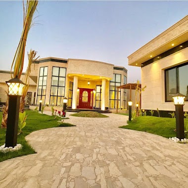
شاليه لنكاوي
Eastern Ring Road, 52345, Buraydah, SA Saudi Arabia
contacts phone
:
+966 53 842 2763
Latitude:
26.3217257
, Longitude:
44.0565598
larger map & directions
read more
nearest Lodging
2 m
Langkawi Chalet Buraydah
Eastern Ring Rd Ad Dahi, 8208 5460, Buraidah 52345, Buraydah
Lodging
read more
672 m
منزل الفنيسان
Buraydah
Lodging
read more
1.008 km
بنيدر محمد بن زامل
3487, 7874, Buraydah
Lodging
read more
1.343 km
قصر الرحالة ابوانس البليهي (القصر الاحمر)
Buraydah
Lodging
read more
1.45 km
شاليه الأجداد
6731, Buraydah
Lodging
read more
1.659 km
شاليهات اكاليل
2712, 7304, Buraydah
Lodging
read more
1.663 km
استراحة برده
الوسيطى،، بريدة
Lodging
read more
1.667 km
Chalet Roganz
7480, Buraydah
Lodging
read more
1.673 km
شالية هفن
2839 Al Wusayti, Buraydah
Lodging
read more
1.693 km
Chalet Andalus
7480, Buraydah
Lodging
read more
1.709 km
شاليهات ريلاكس
Al Wusayti, Buraydah
Lodging
read more
1.716 km
شاليه ايوان
Buraydah
Lodging
read more
1.722 km
Chalets Bihac
7480, Buraydah
Lodging
read more
1.731 km
Tin chalet for rent daily
2839 Al Wusayti, Buraydah
Lodging
read more
1.733 km
شاليه أماسي
7386, Buraydah
Lodging
read more
1.757 km
شاليه الشاميه
2606, Buraydah
Lodging
read more
1.763 km
شالية النرجس
2606, Buraydah
Lodging
read more
1.775 km
شاليه تيجان
Buraydah
Lodging
read more
1.787 km
Chalets Kandel
Buraydah
Lodging
read more
1.801 km
شالية فايف ستار
Buraydah
Lodging
read more
1.816 km
المطرودي
4809, 7004, Buraydah
Lodging
read more
1.816 km
المطرودي/الدولة
4809, 7004, Buraydah
Lodging
read more
1.818 km
شاليه البيت اليوناني
حي الوسيطي، بريدة
Lodging
read more
1.823 km
شاليه الكوخ
5109 الوسيطي، الوسيطى، بريدة 52364 6529 Al Wusayti, Buraydah
Lodging
read more
1.824 km
شاليهات لامور
Eastern Ring Road, Buraydah
Lodging
read more
📑
all categories
Accounting
Administrative area level 1
Airport
Amusement park
Aquarium
Art gallery
Atm
Bakery
Bank
Bar
Beauty salon
Bicycle store
Book store
Bowling alley
Bus station
Cafe
Campground
Car dealer
Car rental
Car repair
Car wash
Casino
Cemetery
Church
City hall
Clothing store
Colloquial area
Convenience store
Country
Courthouse
Dentist
Department store
Doctor
Electrician
Electronics store
Embassy
Finance
Fire station
Florist
Food
Funeral home
Furniture store
Gas station
General contractor
Grocery or supermarket
Gym
Hair care
Hardware store
Health
Hindu Temple
Home goods store
Hospital
Insurance agency
Intersection
Jewelry store
Laundry
Lawyer
Library
Light rail station
Liquor store
Local government office
Locality
Locksmith
Lodging
Meal delivery
Meal takeaway
Mosque
Movie rental
Movie theater
Moving company
Museum
Natural feature
Neighborhood
Night club
Painter
Park
Parking
Pet store
Pharmacy
Physiotherapist
Place of worship
Plumber
Point of interest
Police
Political
Post office
Premise
Real estate agency
Restaurant
Roofing contractor
Route
Rv park, camping
School
Shoe store
Shopping mall
Spa
Stadium
Storage
Store
Sublocality
Subpremise
Subway station
Supermarket
Taxi stand
Train station
Transit station
Travel agency
University
Veterinary care
Zoo
sublocality level 1
↑