Mosque nearby Ahmad Ibn Hanbal Masjid
Saudi Arabia
Mosque nearby Ahmad Ibn Hanbal Masjid
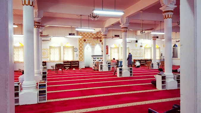
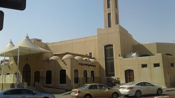
Ahmad Ibn Hanbal Masjid
1 Street, Al Khobar Saudi Arabia
contacts phone
:
+966
Latitude:
26.3029913
, Longitude:
50.2128021
read more
nearest Mosque
Ahmad Ibn Hanbal Mosque
1 Street, Al Khobar
Mosque
read more
5 m
Ahmad Ibn Hanbal Mosque
Al Bandariyah
Mosque
read more
49 m
مسجد حمد عبدالله الزامل
Unnamed Road, Al Khobar
Mosque
read more
153 m
جامع احمد بن حنبل البديل
Ibrahim Al Bawny St Ibrahim Al Bawny Street, Al Khobar
Mosque
read more
240 m
Masjid Al-Hidayah
27th Street, Al Khobar
Mosque
read more
251 m
Abdullah Almohawes Mosque
Al Khobar Al Shamalia
Mosque
read more
401 m
مسجد التوحيد
Al Khobar
Mosque
read more
404 m
Tawheed Mosque
Al Khobar Al Shamalia
Mosque
read more
447 m
Alrashid Mosque
Al Khobar
Mosque
read more
476 m
Mohammed Saeed Babedhan Mosque
Al Khobar Al Shamalia
Mosque
read more
476 m
جامع محمد سعيد بابضين
8273 Prince Bandar Street, Al Khobar
Mosque
read more
476 m
Masjid Babaezaan Ref. Dr. Talayar
King Abdullah Street, Al Khobar
Mosque
read more
502 m
Ammar Ibn Yasir Mosque
Al Khobar Al Shamalia
Mosque
read more
524 m
مسجد عبدالرحمن الدرباس
King Fahd Road, Al Khobar
Mosque
read more
537 m
مسجد خالد بن الوليد
Al Khobar
Mosque
read more
593 m
جامع البخاري - Jami'a Al-Bukhari
Al Khobar
Mosque
read more
639 m
Gosaibi Mosque
Al Khobar Al Shamalia
Mosque
read more
711 m
مسجد سهى القصيبي
شارع عمرو بن مرة،, Al Khobar
Mosque
read more
711 m
Suha Algosaibi Mosque
Al Yarmouk
Mosque
read more
870 m
Prince Sultan Masjid
Prince Faisal Bin Fahd Road, Al Khobar
Mosque
read more
870 m
Prince Sultan Mosque
Prince Faisal Bin Fahd Road, Al Khobar
Mosque
read more
872 m
Cornich Mosque
Al Khobar Al Shamalia
Mosque
read more
886 m
Masjid Usman Bin Affan
Al Khobar Al Shamalia
Mosque
read more
888 m
Ali Omar Babtain Mosque
21 21st Street, Al Khobar
Mosque
read more
954 m
Al Imam Az-Zuhhry Mosque
Prince Mashhoor Street, Al Khobar
Mosque
read more
📑
all categories
Accounting
Administrative area level 1
Airport
Amusement park
Aquarium
Art gallery
Atm
Bakery
Bank
Bar
Beauty salon
Bicycle store
Book store
Bowling alley
Bus station
Cafe
Campground
Car dealer
Car rental
Car repair
Car wash
Casino
Cemetery
Church
City hall
Clothing store
Colloquial area
Convenience store
Country
Courthouse
Dentist
Department store
Doctor
Electrician
Electronics store
Embassy
Finance
Fire station
Florist
Food
Funeral home
Furniture store
Gas station
General contractor
Grocery or supermarket
Gym
Hair care
Hardware store
Health
Hindu Temple
Home goods store
Hospital
Insurance agency
Intersection
Jewelry store
Laundry
Lawyer
Library
Light rail station
Liquor store
Local government office
Locality
Locksmith
Lodging
Meal delivery
Meal takeaway
Mosque
Movie rental
Movie theater
Moving company
Museum
Natural feature
Neighborhood
Night club
Painter
Park
Parking
Pet store
Pharmacy
Physiotherapist
Place of worship
Plumber
Point of interest
Police
Political
Post office
Premise
Real estate agency
Restaurant
Roofing contractor
Route
Rv park, camping
School
Shoe store
Shopping mall
Spa
Stadium
Storage
Store
Sublocality
Subpremise
Subway station
Supermarket
Taxi stand
Train station
Transit station
Travel agency
University
Veterinary care
Zoo
sublocality level 1
↑