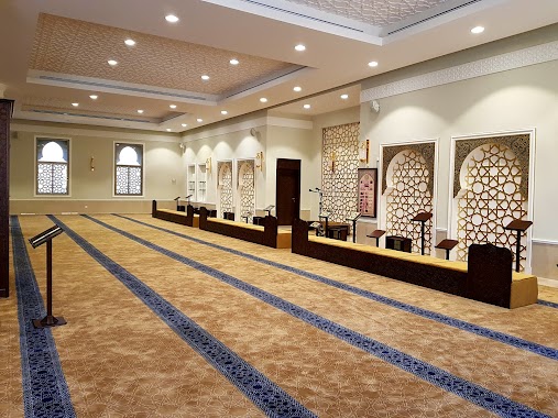
Mosque nearby Alhoqail Mosque
Saudi Arabia
Mosque nearby Alhoqail Mosque
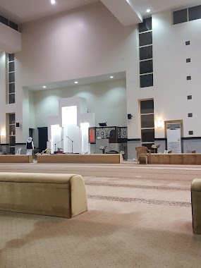
Alhoqail Mosque
Duba Street, 34253, Dhahran, SA Saudi Arabia
contacts phone
:
+966 13 826 3535
website:
www.moia.gov.sa
Latitude:
26.3666006
, Longitude:
50.1225579
larger map & directions
read more
nearest Mosque
291 m
Abu Talha Alansari Mosque
Dhahran
Mosque
read more
374 m
Labeed Ibn Rabeeah Mosque
5225 Rihab Street, Dhahran
Mosque
read more
537 m
Najla Almuraikhi Mosque
Dhahran
Mosque
read more
954 m
Ahmed Bin Abdulrahman Mosque
1 Street, Dhahran
Mosque
read more
1.046 km
مسجد العزاز
5056 الشعراء، الفردوس الدمام 34251
Mosque
read more
1.096 km
Al Muntazah Mosque
Dammam
Mosque
read more
1.289 km
Ahmed Alsaeed Mosque
Dhahran
Mosque
read more
1.293 km
مسجد آمنه بنت عبد الرحمن السعيد
4748 تهامة، الظهران 34255
Mosque
read more
1.376 km
جامع الأميرة العنود
4974 2 ا, Dammam
Mosque
read more
1.376 km
Princess Alanoud Mosque
4974 2 (A) Street, Dammam
Mosque
read more
1.378 km
مسجد سعدى الهباش
4437 السوق، الفردوس، الدمام 34251
Mosque
read more
1.477 km
Mohammed Aal Kshm Mosque
Dammam
Mosque
read more
1.639 km
مسجد ربعي بن عامر
Dammam
Mosque
read more
1.75 km
Aldamegh Mosque
Dammam
Mosque
read more
1.863 km
Alshaalan Mosque
Dhahran
Mosque
read more
1.863 km
Alshaalan Mosque جامع الشيخ محمد الشعلان
Dhahran
Mosque
read more
1.869 km
Al Rayis Mosque
Yousef Abu Altheeb Street, Dhahran
Mosque
read more
1.872 km
جامع الشيخ محمد الشعلان
Dhahran
Mosque
read more
2.054 km
Wafi Al Hajri Mosque مسجد وافي الهاجري
Dammam
Mosque
read more
2.055 km
Fatima Othman Sarawi Mosque
Dhahran
Mosque
read more
2.15 km
مسجد لطيفة بنت محمد الحملي
المنتزه، الدمام
Mosque
read more
2.197 km
Qahtani Mosque
Dhahran
Mosque
read more
2.197 km
جامع حمد بن شعاق القحطاني
Dhahran
Mosque
read more
2.206 km
College Mosque
Dammam
Mosque
read more
2.269 km
Alhasan Bin Ali Mosque
Dhahran
Mosque
read more
📑
all categories
Accounting
Administrative area level 1
Airport
Amusement park
Aquarium
Art gallery
Atm
Bakery
Bank
Bar
Beauty salon
Bicycle store
Book store
Bowling alley
Bus station
Cafe
Campground
Car dealer
Car rental
Car repair
Car wash
Casino
Cemetery
Church
City hall
Clothing store
Colloquial area
Convenience store
Country
Courthouse
Dentist
Department store
Doctor
Electrician
Electronics store
Embassy
Finance
Fire station
Florist
Food
Funeral home
Furniture store
Gas station
General contractor
Grocery or supermarket
Gym
Hair care
Hardware store
Health
Hindu Temple
Home goods store
Hospital
Insurance agency
Intersection
Jewelry store
Laundry
Lawyer
Library
Light rail station
Liquor store
Local government office
Locality
Locksmith
Lodging
Meal delivery
Meal takeaway
Mosque
Movie rental
Movie theater
Moving company
Museum
Natural feature
Neighborhood
Night club
Painter
Park
Parking
Pet store
Pharmacy
Physiotherapist
Place of worship
Plumber
Point of interest
Police
Political
Post office
Premise
Real estate agency
Restaurant
Roofing contractor
Route
Rv park, camping
School
Shoe store
Shopping mall
Spa
Stadium
Storage
Store
Sublocality
Subpremise
Subway station
Supermarket
Taxi stand
Train station
Transit station
Travel agency
University
Veterinary care
Zoo
sublocality level 1
↑