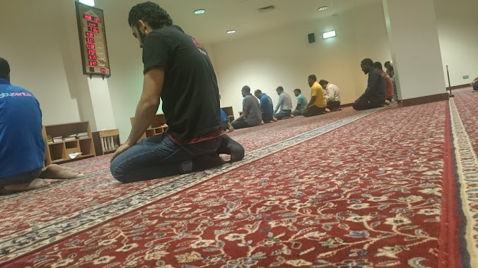
Mosque nearby المصلى
Saudi Arabia
Mosque nearby المصلى
المصلى
طريق خريص, الروضة, 14212, الرياض, SA Saudi Arabia
contacts phone
:
+966
Latitude:
24.721189
, Longitude:
46.774768
larger map & directions
read more
nearest Mosque
المصلى
طريق خريص, الروضة, Riyadh
Mosque
read more
170 m
Khalid ibn al-Walid Mosque
الشيخ عبدالله أبابطين, Riyadh
Mosque
read more
297 m
المسجد
كارفور، طريق خريص الفرعي، الرياض
Mosque
read more
297 m
مصلى نساء
طريق خريص الفرعي، كارفور، الرياض
Mosque
read more
306 m
المسجد دورة مياه رجال
Riyadh
Mosque
read more
346 m
Carrefour mosque
Al Talib, Riyadh
Mosque
read more
376 m
مسجد أسامة بن زيد
الشيخ عبدالله أبابطين, Riyadh
Mosque
read more
452 m
Bader neighborhood Rayyan Mosque
8488 الشيخ عمر بن سليم، الريان، الرياض 14211 3298 Ash Shaikh Umar Ibn Salim, Riyadh
Mosque
read more
508 m
مسجد Masjid Mosque
3489 شبيب الليثي, 6901, Riyadh
Mosque
read more
512 m
مسجد الشيخ قاسم بن محمد الدريويش
مسلم بن عبد الرحمن - الروضة، الرياض
Mosque
read more
512 m
مسجد الشيخ قاسم بن محمد الدريويش
مسلم بن عبد الرحمن - الروضة, Riyadh
Mosque
read more
512 m
مصلى النساء
مسلم بن عبد الرحمن - الروضة، الرياض
Mosque
read more
552 m
Saad bin Maaz mosque
الشيخ عبدالله أبابطين, Riyadh
Mosque
read more
597 m
Obeidan mosque
Abu Ali Valley, Riyadh
Mosque
read more
654 m
Yousef Al Hamad Mosque
Youssef Al Hammad, Riyadh
Mosque
read more
660 m
مصلى النساء
7299 Al Hasan Ibn Ali, Riyadh
Mosque
read more
723 m
مسجد
الريان
Mosque
read more
750 m
مسجد سعد بن معاذ
Anas Al Harthi, Riyadh
Mosque
read more
766 m
Al Rawda Mosque
Abi Al Fath Adh Dhahir, Riyadh
Mosque
read more
853 m
مسجد علي الزبن
Riyadh
Mosque
read more
853 m
مسجد علي الزبن
Ar Rayyan
Mosque
read more
854 m
مسجد النور
برهان الدين المنصوري ، الروضة، الرياض
Mosque
read more
861 m
Rahma Mosque
Burhan Ad Din Al Mansuri, Riyadh
Mosque
read more
908 m
Almosa Mosque
Najm Ad Din Ash Shibani, Riyadh
Mosque
read more
923 m
جامع مدينة الحجاج
شارع زيد الخير - الروضة، الرياض
Mosque
read more
📑
all categories
Accounting
Administrative area level 1
Airport
Amusement park
Aquarium
Art gallery
Atm
Bakery
Bank
Bar
Beauty salon
Bicycle store
Book store
Bowling alley
Bus station
Cafe
Campground
Car dealer
Car rental
Car repair
Car wash
Casino
Cemetery
Church
City hall
Clothing store
Colloquial area
Convenience store
Country
Courthouse
Dentist
Department store
Doctor
Electrician
Electronics store
Embassy
Finance
Fire station
Florist
Food
Funeral home
Furniture store
Gas station
General contractor
Grocery or supermarket
Gym
Hair care
Hardware store
Health
Hindu Temple
Home goods store
Hospital
Insurance agency
Intersection
Jewelry store
Laundry
Lawyer
Library
Light rail station
Liquor store
Local government office
Locality
Locksmith
Lodging
Meal delivery
Meal takeaway
Mosque
Movie rental
Movie theater
Moving company
Museum
Natural feature
Neighborhood
Night club
Painter
Park
Parking
Pet store
Pharmacy
Physiotherapist
Place of worship
Plumber
Point of interest
Police
Political
Post office
Premise
Real estate agency
Restaurant
Roofing contractor
Route
Rv park, camping
School
Shoe store
Shopping mall
Spa
Stadium
Storage
Store
Sublocality
Subpremise
Subway station
Supermarket
Taxi stand
Train station
Transit station
Travel agency
University
Veterinary care
Zoo
sublocality level 1
↑