Mosque nearby Amr Ibn Aljamooh Mosque
Saudi Arabia
Mosque nearby Amr Ibn Aljamooh Mosque
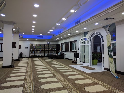
Amr Ibn Aljamooh Mosque
13 Street, Dammam, SA Saudi Arabia
contacts phone
:
+966 13 826 3535
website:
www.moia.gov.sa
Latitude:
26.4173734
, Longitude:
50.1006228
larger map & directions
read more
nearest Mosque
316 m
Abbas Aome Mosque
Dammam
Mosque
read more
345 m
KFSH Mosque
Ammar Bin Thabit Street, Dammam
Mosque
read more
356 m
Masjid alabdulkarem
Uday bin Zaid Street, Dammam
Mosque
read more
380 m
مسجد نورة العبدالكريم
7666 17 ا, 2817, Dammam
Mosque
read more
401 m
مسجد زيد آل سليمان
الدمام
Mosque
read more
402 m
مسجد الشيخ زيد بن محمد آل سليمان
الدمام
Mosque
read more
437 m
Khalid Bin Al Waleed Mosque
Prince Saad Street, Dammam
Mosque
read more
463 m
Mosque of Mohammed Al-Qadi
Ammar Bin Thabit Street, Dammam
Mosque
read more
480 m
مسجد الحصيني
18 Street, Dammam
Mosque
read more
661 m
Ibn Khaldon Mosque
13th Street, Dammam
Mosque
read more
679 m
King Abdulaziz Mosque
Madinat Al Umal
Mosque
read more
725 m
Mosque Women
Dammam
Mosque
read more
761 m
مسجد حمد الوابل رجال
Dammam
Mosque
read more
801 m
Habib Alnajjar Masjid
21 Street, Dammam
Mosque
read more
817 m
جامع خباب بن الأرت
Shihab Ibn Abdullah Street, Dammam
Mosque
read more
843 m
مسجد نورة بنت حسن الجبر
Ammar Bin Thabit Street, Dammam
Mosque
read more
852 m
Al Dawa Mosque
Yasmin Street, Dammam
Mosque
read more
856 m
Alamin Mosque
Ibn Khaldun
Mosque
read more
868 m
مسجد حمزة بن عبدالمطلب
Tamim Bin Rabiah Street, Saudi, Dammam
Mosque
read more
874 m
Falih mosque
12th Street, Dammam
Mosque
read more
964 m
Al Rawda Mosque
Prince Talal Street, Dammam
Mosque
read more
967 m
مسجد الروضة
Dammam
Mosque
read more
1.009 km
Bilal Bin Rabah Mosque
Dammam
Mosque
read more
1.033 km
مسجد الإمام أحمد بن حنبل
Dammam
Mosque
read more
1.043 km
Jubayr Bin Mutem
Ibn Khaldun
Mosque
read more
📑
all categories
Accounting
Administrative area level 1
Airport
Amusement park
Aquarium
Art gallery
Atm
Bakery
Bank
Bar
Beauty salon
Bicycle store
Book store
Bowling alley
Bus station
Cafe
Campground
Car dealer
Car rental
Car repair
Car wash
Casino
Cemetery
Church
City hall
Clothing store
Colloquial area
Convenience store
Country
Courthouse
Dentist
Department store
Doctor
Electrician
Electronics store
Embassy
Finance
Fire station
Florist
Food
Funeral home
Furniture store
Gas station
General contractor
Grocery or supermarket
Gym
Hair care
Hardware store
Health
Hindu Temple
Home goods store
Hospital
Insurance agency
Intersection
Jewelry store
Laundry
Lawyer
Library
Light rail station
Liquor store
Local government office
Locality
Locksmith
Lodging
Meal delivery
Meal takeaway
Mosque
Movie rental
Movie theater
Moving company
Museum
Natural feature
Neighborhood
Night club
Painter
Park
Parking
Pet store
Pharmacy
Physiotherapist
Place of worship
Plumber
Point of interest
Police
Political
Post office
Premise
Real estate agency
Restaurant
Roofing contractor
Route
Rv park, camping
School
Shoe store
Shopping mall
Spa
Stadium
Storage
Store
Sublocality
Subpremise
Subway station
Supermarket
Taxi stand
Train station
Transit station
Travel agency
University
Veterinary care
Zoo
sublocality level 1
↑