Mosque nearby Masjid Aishah bint Abi Bakr
Saudi Arabia
Mosque nearby Masjid Aishah bint Abi Bakr
Masjid Aishah bint Abi Bakr
Abi Bakr Al Qattan, 12795, Riyadh, SA Saudi Arabia
contacts phone
:
+966
Latitude:
24.5789999
, Longitude:
46.6626799
larger map & directions
read more
nearest Mosque
253 m
مسجد الشيخ عبدالعزيز بن باز رحمه الله بشبرا
باب الشام, Riyadh
Mosque
read more
310 m
جامع الشيخ ناصر بن سعد الصفيان
Riyadh
Mosque
read more
315 m
جامع ناصر بن سعد الصفيان
Ibn Abdul Hay Al Khazraji, Riyadh
Mosque
read more
340 m
Abdullah bin Masood mosque
Al Fustat, Riyadh
Mosque
read more
457 m
مسجد العشبان
Said Ibn Muhammad Al Maknasi, Riyadh
Mosque
read more
489 m
Zaid bin Haritha Mosque
Tamim Ad Dari, Riyadh
Mosque
read more
504 m
جامع الامير عبد الرحمن بن عبد الله بن عبد الرحمن ٱل سعود
7772 الصحراوي، الزهرة، الرياض 12985 4825 As Saharawi, Riyadh
Mosque
read more
564 m
Prince Nayef bin Abdul Aziz Mosque
As Sirr, Riyadh
Mosque
read more
582 m
Al-Sayari Mosque
Riyadh
Mosque
read more
598 m
جامع النور
7976 Zahir Ibn Tahir, Riyadh
Mosque
read more
604 m
مسجد المسعد
8214 محمد الشبل, Riyadh
Mosque
read more
612 m
جامع الحصيني
6253 Al Fustat, Riyadh
Mosque
read more
665 m
Masjid Al-Rahmah
12788 Wadi Ar Rashad, Riyadh
Mosque
read more
691 m
Ihsan Mosque
Al Karama, Riyadh
Mosque
read more
696 m
مسجد إمام الدعوة
7531 البشائر, 2914, Riyadh
Mosque
read more
710 m
جامع الصانع
Abi Mishab, Riyadh
Mosque
read more
749 m
Quraini mosque
Yathrib, Riyadh
Mosque
read more
819 m
جامع الايمان
Daws, Riyadh
Mosque
read more
819 m
Mohammed Nasser Mosque
Al Karama, Riyadh
Mosque
read more
833 m
مسجد الصفار
8250 Al Wafra, Riyadh
Mosque
read more
863 m
مسجد المرافق
Dakhnah, Riyadh
Mosque
read more
865 m
Al Sanea Mosque
As Suwaidi Al Am, Riyadh
Mosque
read more
886 m
Mosque
Khuzaah, Riyadh
Mosque
read more
915 m
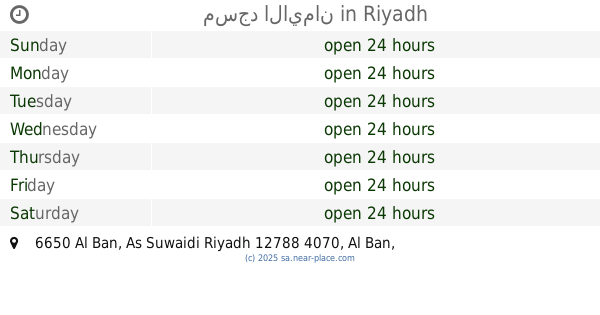
مسجد الايمان
6650 Al Ban, As Suwaidi Riyadh 12788 4070 Al Ban, Riyadh
Mosque
read more
944 m
مسجد النور
3419 Qartajah, Riyadh
Mosque
read more
📑
all categories
Accounting
Administrative area level 1
Airport
Amusement park
Aquarium
Art gallery
Atm
Bakery
Bank
Bar
Beauty salon
Bicycle store
Book store
Bowling alley
Bus station
Cafe
Campground
Car dealer
Car rental
Car repair
Car wash
Casino
Cemetery
Church
City hall
Clothing store
Colloquial area
Convenience store
Country
Courthouse
Dentist
Department store
Doctor
Electrician
Electronics store
Embassy
Finance
Fire station
Florist
Food
Funeral home
Furniture store
Gas station
General contractor
Grocery or supermarket
Gym
Hair care
Hardware store
Health
Hindu Temple
Home goods store
Hospital
Insurance agency
Intersection
Jewelry store
Laundry
Lawyer
Library
Light rail station
Liquor store
Local government office
Locality
Locksmith
Lodging
Meal delivery
Meal takeaway
Mosque
Movie rental
Movie theater
Moving company
Museum
Natural feature
Neighborhood
Night club
Painter
Park
Parking
Pet store
Pharmacy
Physiotherapist
Place of worship
Plumber
Point of interest
Police
Political
Post office
Premise
Real estate agency
Restaurant
Roofing contractor
Route
Rv park, camping
School
Shoe store
Shopping mall
Spa
Stadium
Storage
Store
Sublocality
Subpremise
Subway station
Supermarket
Taxi stand
Train station
Transit station
Travel agency
University
Veterinary care
Zoo
sublocality level 1
↑