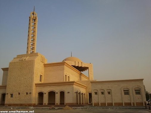
Mosque nearby مسجد آل ياسين
Saudi Arabia
Mosque nearby مسجد آل ياسين
مسجد آل ياسين
6839, 6ج, 32633, Al Qatif, SA Arabia Saudita
contacts phone
:
+966
Latitude:
26.5531284
, Longitude:
50.0162301
larger map & directions
read more
nearest Mosque
419 m
مسجد ابو هريره
Al Qatif
Mosque
read more
546 m
Mawadda Mosque
2 (A) Street, Al Qatif
Mosque
read more
616 m
Al Haddad Mosque
Al Qatif
Mosque
read more
795 m
Imam Hassan Mosque
Ukaf Bin Wudaah Street, Al Qatif
Mosque
read more
853 m
مسجد الإمام المهدي (عج) بالخامسة
Al Qatif
Mosque
read more
968 m
مسجد أبوبكر الصديق رضي الله عنه
3423، شارع، البترول، الرابعة،،، القطيف، 326367642، 7642،
Mosque
read more
1.044 km
مسجد الماجية
شارع ٥،, Al Qatif
Mosque
read more
1.142 km
مسجد النور
7419, 2979, Al Qatif
Mosque
read more
1.145 km
مسجد الإمارة
بديعة، القطيف
Mosque
read more
1.169 km
مسجد ابو عائشه
7361, Al Qatif
Mosque
read more
1.175 km
مسجد الفتح
King Abdul Aziz, Al Qatif
Mosque
read more
1.196 km
Sheikh Aman Mosque
7 (A) Street, Al Qatif
Mosque
read more
1.225 km
مسجد الإمام الجواد عليه السلام
7443, Al Qatif
Mosque
read more
1.267 km
مسجد الشيخ علي المرهون
6612, 2712, Al Qatif
Mosque
read more
1.278 km
مسجد الشيخ علي المرهون قدس سره
2739 King Abdulaziz Road, Al Qatif
Mosque
read more
1.279 km
مسجد القائم
7294 King Abdulaziz Road, Al Qatif
Mosque
read more
1.288 km
Faisal bin Turki Mosque
King Abdulaziz Road, Al Qatif
Mosque
read more
1.332 km
مسجد الشيخ رضي المحروس قدس سرة
6418, Al Qatif
Mosque
read more
1.362 km
Imam Zainal Abidin Mosque
القطيف
Mosque
read more
1.364 km
Imam Hussain Mosque
6 (B) Street, Al Qatif
Mosque
read more
1.378 km
مسجد الشيخ فرج العمران
المنطقة المركزية
Mosque
read more
1.383 km
مسجد سوق الخميس
2678، المنطقة المركزية، القطيف 32636
Mosque
read more
1.385 km
Sheikh Mohammed Mosque
2576, Al Qatif
Mosque
read more
1.389 km
Sheikh Khamis Mosque
2575, Al Qatif
Mosque
read more
1.396 km
مسجد فاطمة الزهراء
Al Imam Ali Ibn Abi Talib Road, Al Qatif
Mosque
read more
📑
all categories
Accounting
Administrative area level 1
Airport
Amusement park
Aquarium
Art gallery
Atm
Bakery
Bank
Bar
Beauty salon
Bicycle store
Book store
Bowling alley
Bus station
Cafe
Campground
Car dealer
Car rental
Car repair
Car wash
Casino
Cemetery
Church
City hall
Clothing store
Colloquial area
Convenience store
Country
Courthouse
Dentist
Department store
Doctor
Electrician
Electronics store
Embassy
Finance
Fire station
Florist
Food
Funeral home
Furniture store
Gas station
General contractor
Grocery or supermarket
Gym
Hair care
Hardware store
Health
Hindu Temple
Home goods store
Hospital
Insurance agency
Intersection
Jewelry store
Laundry
Lawyer
Library
Light rail station
Liquor store
Local government office
Locality
Locksmith
Lodging
Meal delivery
Meal takeaway
Mosque
Movie rental
Movie theater
Moving company
Museum
Natural feature
Neighborhood
Night club
Painter
Park
Parking
Pet store
Pharmacy
Physiotherapist
Place of worship
Plumber
Point of interest
Police
Political
Post office
Premise
Real estate agency
Restaurant
Roofing contractor
Route
Rv park, camping
School
Shoe store
Shopping mall
Spa
Stadium
Storage
Store
Sublocality
Subpremise
Subway station
Supermarket
Taxi stand
Train station
Transit station
Travel agency
University
Veterinary care
Zoo
sublocality level 1
↑