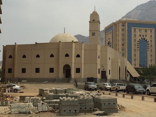
Mosque nearby مسجد التقوى
Saudi Arabia
Mosque nearby مسجد التقوى
مسجد التقوى
5420, Batha Quraysh, Mecca 24352, Saudi-Arabien
contacts phone
:
+966
Latitude:
21.3703617
, Longitude:
39.8356439
larger map & directions
read more
nearest Mosque
336 m
Mosque of Mercy
6899, 5117, Mecca
Mosque
read more
342 m
مسجد بلال بن رباح
شارع عبد الله سعود العيسى، بطحاء قريش، مكة
Mosque
read more
348 m
جامع الرحمة
حي بطحاء قريش، مكة
Mosque
read more
354 m
Mosque of Paradise
7210, 5107, Mecca
Mosque
read more
494 m
مسجد نورة بنت عبدالله العسكر
Mecca
Mosque
read more
512 m
مسجد نورة بنت عبدالله العسكر
8005, 3224, Mecca
Mosque
read more
546 m
Imam Ahmad ibn Hanbal Mosque
7564 جبل ثور, 5278, Mecca
Mosque
read more
552 m
جامع الإمام أحمد بن حنبل
7564 جبل ثور، بطحاء قريش، مكة 24352
Mosque
read more
575 m
Abdullah Al-essa Mosque
مكة
Mosque
read more
583 m
مسجد الشبرمي
Mecca
Mosque
read more
585 m
Abdullah Al-essa Mosque
شارع عتاب ابن أسيد، بطحاء قريش، مكة
Mosque
read more
585 m
جامع الشيخ عبدالله بن سعود العيسى
شارع عتاب ابن أسيد، بطحاء قريش، مكة
Mosque
read more
595 m
Abdullah Al-Essa Mosque
Batha Quraish
Mosque
read more
595 m
Abdullah Al-Essa Mosque
Batha Quraysh
Mosque
read more
611 m
Companion Hussein bin Ali Mosque
ممشى بطحاء قريش, Mecca
Mosque
read more
628 m
Related bands mosque
6787, Mecca
Mosque
read more
663 m
Munira Aelaidaziz Mosque
3324, Mecca
Mosque
read more
667 m
مسجد الشيخة منيرة العبدالعزيز
بطحاء قريش، مكة
Mosque
read more
750 m
مسجد الصديق
ممشى بطحاء قريش, Mecca
Mosque
read more
777 m
Mosque of Light
3149, Mecca
Mosque
read more
809 m
Bakri Mosque
4915، مكة
Mosque
read more
886 m
Mosque of Abdullah bin Abbas
7026, Mecca
Mosque
read more
903 m
Mahivma mosque
Mecca
Mosque
read more
964 m
مسجد حسين مطر بطحاء قريش
6749, 4504, Mecca
Mosque
read more
974 m
Ms. Aisha, may Allah be pleased mosque Bbtaha Quraish
8976, Mecca
Mosque
read more
📑
all categories
Accounting
Administrative area level 1
Airport
Amusement park
Aquarium
Art gallery
Atm
Bakery
Bank
Bar
Beauty salon
Bicycle store
Book store
Bowling alley
Bus station
Cafe
Campground
Car dealer
Car rental
Car repair
Car wash
Casino
Cemetery
Church
City hall
Clothing store
Colloquial area
Convenience store
Country
Courthouse
Dentist
Department store
Doctor
Electrician
Electronics store
Embassy
Finance
Fire station
Florist
Food
Funeral home
Furniture store
Gas station
General contractor
Grocery or supermarket
Gym
Hair care
Hardware store
Health
Hindu Temple
Home goods store
Hospital
Insurance agency
Intersection
Jewelry store
Laundry
Lawyer
Library
Light rail station
Liquor store
Local government office
Locality
Locksmith
Lodging
Meal delivery
Meal takeaway
Mosque
Movie rental
Movie theater
Moving company
Museum
Natural feature
Neighborhood
Night club
Painter
Park
Parking
Pet store
Pharmacy
Physiotherapist
Place of worship
Plumber
Point of interest
Police
Political
Post office
Premise
Real estate agency
Restaurant
Roofing contractor
Route
Rv park, camping
School
Shoe store
Shopping mall
Spa
Stadium
Storage
Store
Sublocality
Subpremise
Subway station
Supermarket
Taxi stand
Train station
Transit station
Travel agency
University
Veterinary care
Zoo
sublocality level 1
↑