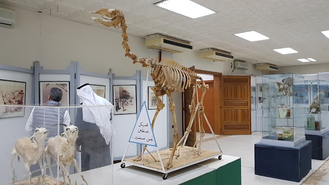
Museum nearby شاليه أبناء صالح المديفر
Coronavirus disease (COVID-19) Situation
confirmed cases
841469
deaths
9646
Saudi Arabia
Museum nearby شاليه أبناء صالح المديفر
شاليه أبناء صالح المديفر
بريدة Arabia Saudyjska
contacts phone
:
+966
Latitude:
26.3656147
, Longitude:
43.9592764
read more
nearest Museum
1.079 km
عمارة المطلق
طريق الملك سعود،, Buraydah
Museum
read more
1.223 km
منز الرشودي
Unnamed Road, Buraydah
Museum
read more
1.318 km
متحف بريده
7242 King Abdulaziz Road, Buraydah
Museum
read more
1.692 km
معرض ميلاد امه
الاسكان،, Buraydah
Museum
read more
1.726 km
Buraidah Museum
King Abdulaziz Road, Buraydah
Museum
read more
1.911 km
مجلس الراضي
7357 الاخضر، بريدة 52385
Museum
read more
2.157 km
متحف القصيم الاقليمي
Al Iskan, Buraydah
Museum
read more
2.354 km
مزارع الصباخ
بريدة
Museum
read more
3.194 km
بيت العبدالكريم الرسيني
6257 العدل،, 3093, Buraydah
Museum
read more
3.564 km
محمد المشيقح ابوعلي
بريدة
Museum
read more
3.733 km
ضيافة الشيخ حمد العبدالله النمير
بريدة
Museum
read more
3.929 km
السليمانية
Al Khubaybiyyah, Buraydah
Museum
read more
3.974 km
Al Shayea Heritage Palace
Ash Shammas, Buraydah
Museum
read more
4.042 km
Al Dubaikhi Heritage Museum
Al Quway, Buraydah
Museum
read more
4.236 km
درة المدائن
6730, Buraydah
Museum
read more
4.428 km
كيان للحفلات والورود
4116, مخطط الرواف، 6758, Buraydah
Museum
read more
4.57 km
متحف حمد بن ناصر للسيارات الكلاسيكيه
6337, Buraydah
Museum
read more
4.57 km
Car Museum
6337, Buraydah
Museum
read more
4.821 km
دار النفائس للمخطوطات في بريدة
3912, 7729, Buraydah
Museum
read more
4.829 km
مركز الحرف اليدوية والتراث الوطني في بريدة
7670, Buraydah
Museum
read more
5.413 km
ديوانية ابو طارق الضالع
King Salman Road, Buraydah
Museum
read more
5.875 km
مجمع الاجبع السعوي
8601, 2560, Buraydah
Museum
read more
5.91 km
ديوانية السماعيل
Buraydah
Museum
read more
5.931 km
استراحة المسافرون العرب
Unnamed Road, Buraydah
Museum
read more
5.961 km
مسجد العييري
Buraydah
Museum
read more
📑
all categories
Accounting
Administrative area level 1
Airport
Amusement park
Aquarium
Art gallery
Atm
Bakery
Bank
Bar
Beauty salon
Bicycle store
Book store
Bowling alley
Bus station
Cafe
Campground
Car dealer
Car rental
Car repair
Car wash
Casino
Cemetery
Church
City hall
Clothing store
Colloquial area
Convenience store
Country
Courthouse
Dentist
Department store
Doctor
Electrician
Electronics store
Embassy
Finance
Fire station
Florist
Food
Funeral home
Furniture store
Gas station
General contractor
Grocery or supermarket
Gym
Hair care
Hardware store
Health
Hindu Temple
Home goods store
Hospital
Insurance agency
Intersection
Jewelry store
Laundry
Lawyer
Library
Light rail station
Liquor store
Local government office
Locality
Locksmith
Lodging
Meal delivery
Meal takeaway
Mosque
Movie rental
Movie theater
Moving company
Museum
Natural feature
Neighborhood
Night club
Painter
Park
Parking
Pet store
Pharmacy
Physiotherapist
Place of worship
Plumber
Point of interest
Police
Political
Post office
Premise
Real estate agency
Restaurant
Roofing contractor
Route
Rv park, camping
School
Shoe store
Shopping mall
Spa
Stadium
Storage
Store
Sublocality
Subpremise
Subway station
Supermarket
Taxi stand
Train station
Transit station
Travel agency
University
Veterinary care
Zoo
sublocality level 1
↑